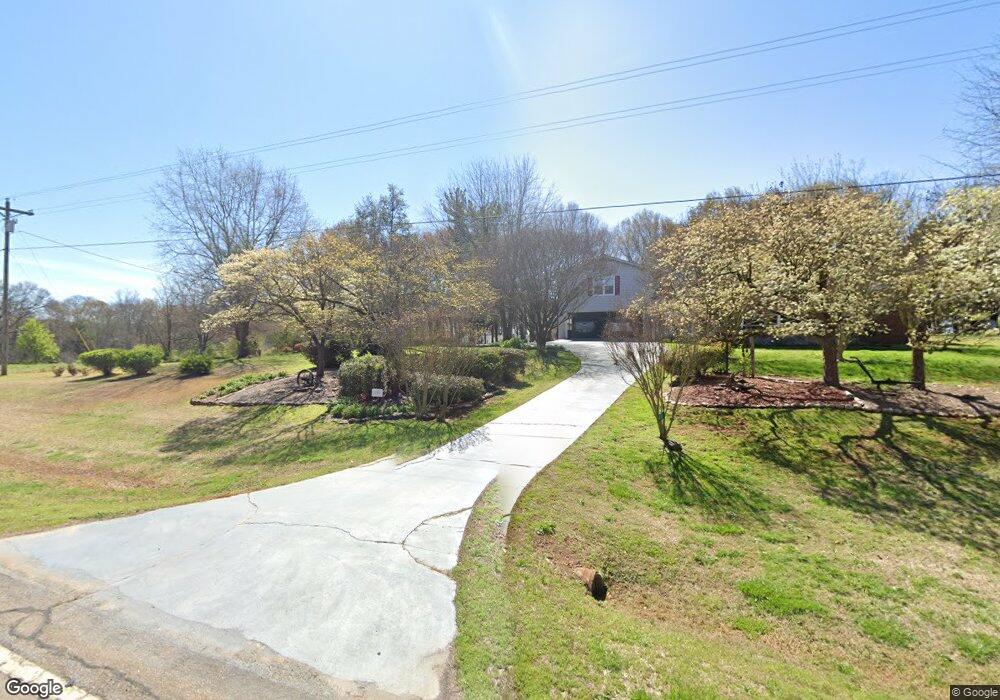
67 Prickett Dr Carnesville, GA 30521
Estimated Value: $346,000 - $355,719
3
Beds
2
Baths
2,551
Sq Ft
$138/Sq Ft
Est. Value
About This Home
This home is located at 67 Prickett Dr, Carnesville, GA 30521 and is currently estimated at $350,860, approximately $137 per square foot. 67 Prickett Dr is a home located in Franklin County with nearby schools including Franklin County High School.
Ownership History
Date
Name
Owned For
Owner Type
Purchase Details
Closed on
Nov 16, 2022
Sold by
Swancey William E
Bought by
Dang Family Llc
Current Estimated Value
Purchase Details
Closed on
May 7, 2007
Sold by
Swancey William E
Bought by
Swancey William E
Home Financials for this Owner
Home Financials are based on the most recent Mortgage that was taken out on this home.
Original Mortgage
$208,000
Interest Rate
6.12%
Mortgage Type
New Conventional
Purchase Details
Closed on
Apr 5, 2006
Sold by
Prickett Brantley
Bought by
Swancey William E and Swancey Paula B
Create a Home Valuation Report for This Property
The Home Valuation Report is an in-depth analysis detailing your home's value as well as a comparison with similar homes in the area
Purchase History
| Date | Buyer | Sale Price | Title Company |
|---|---|---|---|
| Dang Family Llc | $1,050,000 | -- | |
| Swancey William E | -- | -- | |
| Swancey William E | -- | -- | |
| Swancey William E | $1,200 | -- |
Source: Public Records
Mortgage History
| Date | Status | Borrower | Loan Amount |
|---|---|---|---|
| Previous Owner | Swancey William E | $67,240 | |
| Previous Owner | Swancey William E | $208,000 |
Source: Public Records
Tax History
| Year | Tax Paid | Tax Assessment Tax Assessment Total Assessment is a certain percentage of the fair market value that is determined by local assessors to be the total taxable value of land and additions on the property. | Land | Improvement |
|---|---|---|---|---|
| 2025 | $2,539 | $132,819 | $29,130 | $103,689 |
| 2024 | $2,225 | $107,101 | $18,286 | $88,815 |
| 2023 | $2,196 | $97,364 | $16,623 | $80,741 |
| 2022 | $1,942 | $86,775 | $13,389 | $73,386 |
| 2021 | $1,830 | $79,517 | $13,389 | $66,128 |
| 2020 | $1,847 | $79,517 | $13,389 | $66,128 |
| 2019 | $1,783 | $79,517 | $13,389 | $66,128 |
| 2018 | $1,563 | $70,726 | $12,730 | $57,996 |
| 2017 | $1,623 | $70,726 | $12,730 | $57,996 |
| 2016 | $1,529 | $65,052 | $12,730 | $52,322 |
| 2015 | -- | $65,052 | $12,730 | $52,322 |
| 2014 | -- | $67,788 | $15,913 | $51,875 |
| 2013 | -- | $68,391 | $15,912 | $52,478 |
Source: Public Records
Map
Nearby Homes
- 140 Summit Ln
- 160 Georgia 320
- 16600 Highway 59
- 183 Crestview Dr
- 7 Crest View Cir
- 5419 Georgia 320
- 5821 Georgia 320
- 0 Georgia 198
- 1079 Hardeman Farm Rd
- 9750 Lavonia Rd
- 555 Hubbard Rd
- 7660 Sandy Cross Rd
- 0 Turkey Creek Rd Unit 10671197
- 0 Turkey Creek Rd Unit 7709794
- 0 Turkey Creek Rd Unit 26024108
- 2556 Turkey Creek Rd
- 8750 Sandy Cross Rd
- 00 Hall Carson Rd
- 5177 Sandy Cross Rd
- 8065 Sandy Cross Rd
- 16801 Highway 59
- 11 Prickett Dr
- 16665 Highway 59
- 16633 Highway 59
- 2651 Rock Pillar Rd
- 2992 Manley St Unit A10
- 2992 Manley St
- 2954 Manley St Unit A8
- 2954 Manley St
- 2912 Manley St
- 2900 Manley St
- 2868 Manley St
- 2912 Manley St Unit A4
- 2900 Manley St Unit A3
- 2868 Manley St Unit A2
- 16591 Highway 59
- 16530 Highway 59
- 16525 Highway 59
- 25 May Ln
- 83 May Ln
Your Personal Tour Guide
Ask me questions while you tour the home.