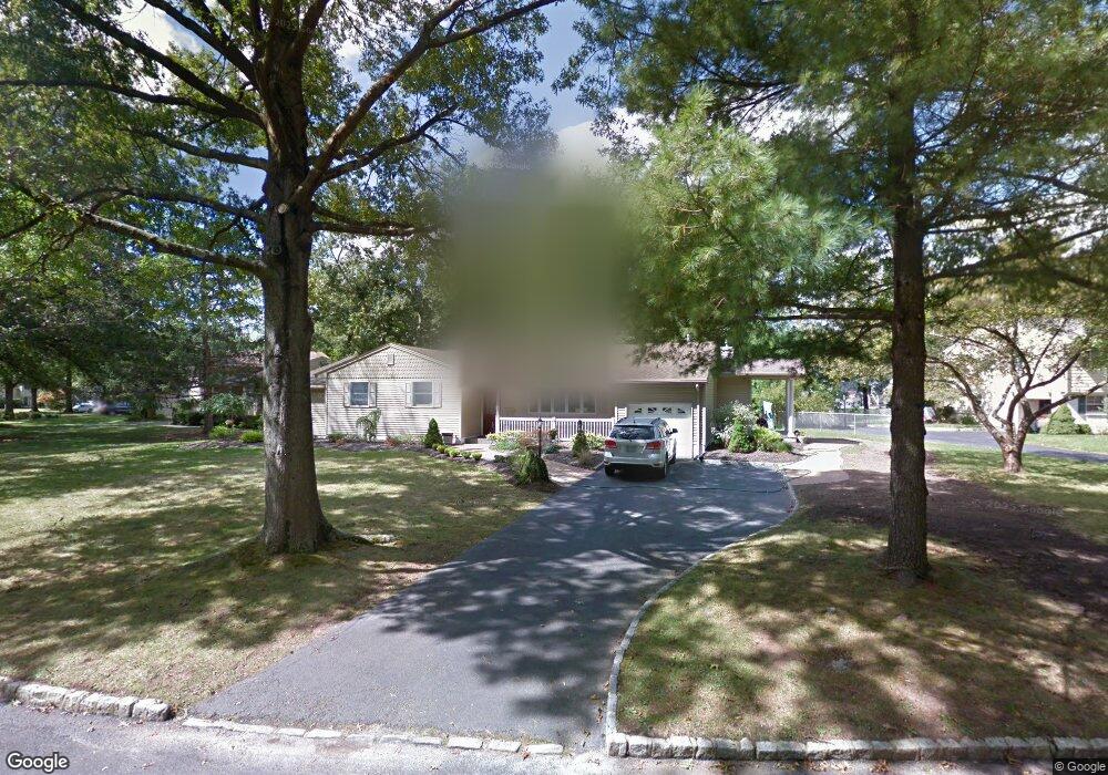
67 Primrose Dr New Providence, NJ 07974
Estimated Value: $836,000 - $1,021,000
--
Bed
--
Bath
2,213
Sq Ft
$426/Sq Ft
Est. Value
About This Home
This home is located at 67 Primrose Dr, New Providence, NJ 07974 and is currently estimated at $942,391, approximately $425 per square foot. 67 Primrose Dr is a home located in Union County with nearby schools including New Providence High School, The Academy of Our Lady of Peace, and Oak Knoll School of the Holy Child.
Ownership History
Date
Name
Owned For
Owner Type
Purchase Details
Closed on
Sep 15, 1988
Bought by
Gorman John T and Gorman Marybeth
Current Estimated Value
Create a Home Valuation Report for This Property
The Home Valuation Report is an in-depth analysis detailing your home's value as well as a comparison with similar homes in the area
Home Values in the Area
Average Home Value in this Area
Purchase History
| Date | Buyer | Sale Price | Title Company |
|---|---|---|---|
| Gorman John T | $230,000 | -- |
Source: Public Records
Tax History Compared to Growth
Tax History
| Year | Tax Paid | Tax Assessment Tax Assessment Total Assessment is a certain percentage of the fair market value that is determined by local assessors to be the total taxable value of land and additions on the property. | Land | Improvement |
|---|---|---|---|---|
| 2025 | $16,147 | $312,800 | $137,500 | $175,300 |
| 2024 | $15,662 | $312,800 | $137,500 | $175,300 |
| 2023 | $15,662 | $312,800 | $137,500 | $175,300 |
| 2022 | $15,446 | $312,800 | $137,500 | $175,300 |
| 2021 | $15,333 | $312,800 | $137,500 | $175,300 |
| 2020 | $15,327 | $312,800 | $137,500 | $175,300 |
| 2019 | $15,233 | $312,800 | $137,500 | $175,300 |
| 2018 | $15,155 | $312,800 | $137,500 | $175,300 |
| 2017 | $14,908 | $312,800 | $137,500 | $175,300 |
| 2016 | $14,698 | $312,800 | $137,500 | $175,300 |
| 2015 | $14,495 | $312,800 | $137,500 | $175,300 |
| 2014 | $15,020 | $309,500 | $137,500 | $172,000 |
Source: Public Records
Map
Nearby Homes
- 54 Badgley Dr
- 34 Grant Ave
- 1200 Springfield Ave Unit 1B
- 32 Marion Ave
- 16 Riverbend Ct
- 45 the Fellsway
- 20 High St
- 282 South St
- 106 Stoneridge Rd
- 52 Greenwood Rd
- 340 Livingston Ave
- 197 Elkwood Ave
- 72 Central Ave
- 29 Walton Ave
- 32 Charnwood Rd
- 100 Commonwealth Ave
- 19 Division Ave
- 14 Holmes Oval
- 36 Terrace Rd
- 283 Riveredge Dr
- 81 Primrose Dr
- 55 Primrose Dr
- 116 Pleasantview Ave
- 110 Pleasantview Ave
- 70 Primrose Dr
- 58 Primrose Dr
- 89 Primrose Dr
- 74 Primrose Dr
- 15 Barberry Ln
- 80 Primrose Dr
- 120 Pleasantview Ave
- 9 Barberry Ln
- 25 Barberry Ln
- 3 Barberry Ln
- 88 Primrose Dr
- 103 Primrose Dr
- 31 Barberry Ln
- 117 Hickson Dr
- 126 Pleasantview Ave
- 125 Hickson Dr