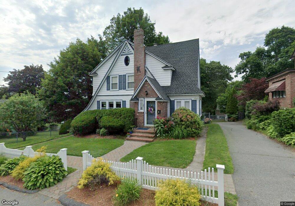
67 Raynor St Lowell, MA 01851
Highlands NeighborhoodEstimated Value: $533,000 - $613,000
3
Beds
2
Baths
1,750
Sq Ft
$333/Sq Ft
Est. Value
About This Home
This home is located at 67 Raynor St, Lowell, MA 01851 and is currently estimated at $582,580, approximately $332 per square foot. 67 Raynor St is a home located in Middlesex County with nearby schools including Charles W. Morey Elementary School, Dr. Gertrude Bailey Elementary School, and Abraham Lincoln Elementary School.
Ownership History
Date
Name
Owned For
Owner Type
Purchase Details
Closed on
Dec 11, 2024
Sold by
Keegan John P and Keegan Joann T
Bought by
Keegan James T and Mcquiad Kristina A
Current Estimated Value
Purchase Details
Closed on
Nov 26, 1985
Bought by
Keegan John P and Keegan Joann C
Create a Home Valuation Report for This Property
The Home Valuation Report is an in-depth analysis detailing your home's value as well as a comparison with similar homes in the area
Home Values in the Area
Average Home Value in this Area
Purchase History
| Date | Buyer | Sale Price | Title Company |
|---|---|---|---|
| Keegan James T | -- | None Available | |
| Keegan John P | $133,000 | -- |
Source: Public Records
Mortgage History
| Date | Status | Borrower | Loan Amount |
|---|---|---|---|
| Previous Owner | Keegan John P | $117,000 | |
| Previous Owner | Keegan John P | $130,000 |
Source: Public Records
Tax History
| Year | Tax Paid | Tax Assessment Tax Assessment Total Assessment is a certain percentage of the fair market value that is determined by local assessors to be the total taxable value of land and additions on the property. | Land | Improvement |
|---|---|---|---|---|
| 2025 | $6,320 | $550,500 | $183,900 | $366,600 |
| 2024 | $5,994 | $503,300 | $157,500 | $345,800 |
| 2023 | $5,656 | $455,400 | $137,000 | $318,400 |
| 2022 | $5,331 | $420,100 | $124,500 | $295,600 |
| 2021 | $4,979 | $369,900 | $108,300 | $261,600 |
| 2020 | $4,611 | $345,100 | $96,500 | $248,600 |
| 2019 | $4,385 | $312,300 | $96,700 | $215,600 |
| 2018 | $4,287 | $297,900 | $92,100 | $205,800 |
| 2017 | $3,949 | $264,700 | $83,700 | $181,000 |
| 2016 | $3,560 | $234,800 | $86,500 | $148,300 |
| 2015 | $3,418 | $220,800 | $83,500 | $137,300 |
| 2013 | $3,265 | $217,500 | $96,800 | $120,700 |
Source: Public Records
Map
Nearby Homes
- 4 Tamarack St
- 977 Westford St Unit 4
- 694 Westford St
- 142 Sanders Ave
- 1311 Middlesex St
- 45 Harvard St Unit 5 3rd fl
- 17 Edson St
- 339 Pawtucket Blvd Unit 19
- 295 Pawtucket Blvd Unit 7
- 351 Pawtucket Blvd Unit 3
- 351 Pawtucket Blvd Unit 29
- 527 Pawtucket Blvd Unit 207
- 311 Pawtucket Blvd Unit 9
- 311 Pawtucket Blvd Unit 3
- 307 Pawtucket Blvd Unit 24
- 137 Pine St Unit 11
- 1975 Middlesex St Unit 51
- 1975 Middlesex St Unit 10
- 49 Marginal St
- 24 Brouilette St Unit A
- 61 Raynor St
- 17 Percy St
- 73 Raynor St
- 46 Montview Ave
- 30 Stewart St
- 56 Montview Ave
- 82 Raynor St
- 448 Princeton Blvd
- 448 Princeton Blvd Unit 448
- 83 Raynor St
- 34 Montview Ave
- 60 Montview Ave
- 32 Montview Ave
- 11 Percy St
- 20 Stewart St
- 210 Baldwin St
- 200 Baldwin St
- 66 Montview Ave
- 220 Baldwin St
- 90 Raynor St
Your Personal Tour Guide
Ask me questions while you tour the home.