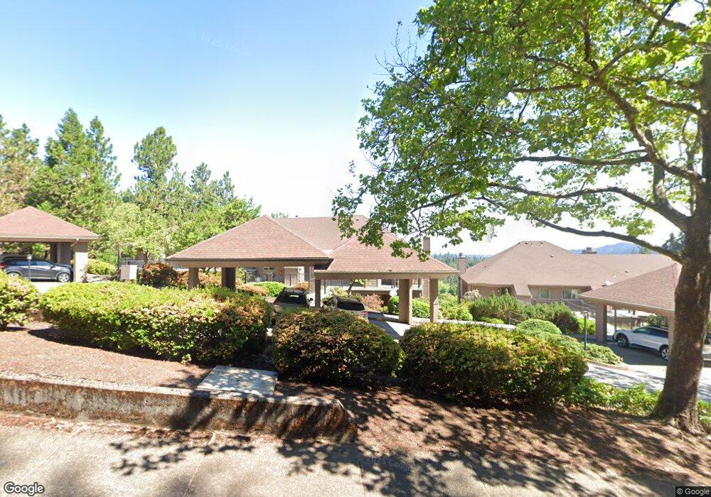
67 Rockridge Dr Eugene, OR 97405
Crest Drive NeighborhoodEstimated Value: $327,989 - $356,000
About This Home
This home is located at 67 Rockridge Dr, Eugene, OR 97405 and is currently estimated at $342,497, approximately $298 per square foot. 67 Rockridge Dr is a home located in Lane County with nearby schools including Edgewood Community Elementary School, Spencer Butte Middle School, and South Eugene High School.
Ownership History
We collect this data history from publicly available records. To have your information removed, we recommend requesting removal directly through your county’s website.
Purchase Details
Home Financials for this Owner
Home Financials are based on the most recent Mortgage that was taken out on this home.Home Values in the Area
Average Home Value in this Area
Purchase History
We collect this data history from publicly available records. To have your information removed, we recommend requesting removal directly through your county’s website.
| Date | Buyer | Sale Price | Title Company |
|---|---|---|---|
| $160,000 | Western Title & Escrow Co |
Mortgage History
We collect this data history from publicly available records. To have your information removed, we recommend requesting removal directly through your county’s website.
| Date | Status | Borrower | Loan Amount |
|---|---|---|---|
| Open | $128,000 |
Tax History
We collect this data history from publicly available records. To have your information removed, we recommend requesting removal directly through your county’s website.
| Year | Tax Paid | Tax Assessment Tax Assessment Total Assessment is a certain percentage of the fair market value that is determined by local assessors to be the total taxable value of land and additions on the property. | Land | Improvement |
|---|---|---|---|---|
| 2025 | $4,036 | $207,151 | -- | -- |
| 2024 | $3,986 | $201,118 | -- | -- |
| 2023 | $3,986 | $195,261 | $0 | $0 |
| 2022 | $3,734 | $189,574 | $0 | $0 |
| 2021 | $3,507 | $184,053 | $0 | $0 |
| 2020 | $3,520 | $178,693 | $0 | $0 |
| 2019 | $3,399 | $173,489 | $0 | $0 |
| 2018 | $3,200 | $163,530 | $0 | $0 |
| 2017 | $2,922 | $163,530 | $0 | $0 |
| 2016 | $2,805 | $158,767 | $0 | $0 |
Map
- 151 Rockridge Loop
- 278 Rockridge Ct
- 143 Treehill Loop Unit 143
- 190 Coachman Dr
- 151 Treehill Loop Unit 151
- 149 Treehill Loop Unit 149
- 0 Rockridge Loop Unit 339703397
- 0 Rockridge Loop Unit 1513157 Lp
- 0 Rockridge Loop Unit 13
- 67 Westbrook Way
- 217 Rockridge Loop
- 101 Westbrook Way
- 71 Marlboro Ln
- 157 Westbrook Way
- 20 Brae Burn Dr
- 310 E 48th Ave
- 213 Trailside Loop
- 417 Stonewood Dr
- 223 Trailside Loop Unit 223
- 4734 Brookwood St
- 83 Rockridge Dr
- 95 Rockridge Dr Unit 14
- 63 Rockridge Dr
- 87 Rockridge Dr
- 99 Rockridge Dr
- 47 Rockridge Dr
- 59 Rockridge Dr Unit 6
- 43 Rockridge Dr Unit 9
- 43 Rockridge Dr
- 55 Rockridge Dr Unit 10
- 27 Rockridge Dr
- 39 Rockridge Dr
- 23 Rockridge Dr Unit 5
- 35 Rockridge Dr
- 21 Rockridge Loop
- 7 Rockridge Dr Unit 3
- 7 Rockridge Dr
- 19 Rockridge Dr Unit 4
- 115 Rockridge Loop
- 3 Rockridge Dr
Ask me questions while you tour the home.