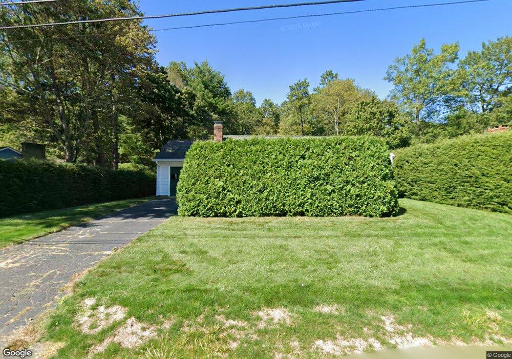
67 Spruce Hill Ave Florence, MA 01062
Florence NeighborhoodEstimated Value: $364,000 - $416,000
2
Beds
1
Bath
1,016
Sq Ft
$383/Sq Ft
Est. Value
About This Home
This home is located at 67 Spruce Hill Ave, Florence, MA 01062 and is currently estimated at $389,595, approximately $383 per square foot. 67 Spruce Hill Ave is a home located in Hampshire County with nearby schools including Northampton High School, Lander Grinspoon Academy, and Campus School of Smith College.
Ownership History
Date
Name
Owned For
Owner Type
Purchase Details
Closed on
Jul 29, 1994
Sold by
Pearson Louise L and Conant Susan
Bought by
Mullane Jeremiah
Current Estimated Value
Home Financials for this Owner
Home Financials are based on the most recent Mortgage that was taken out on this home.
Original Mortgage
$87,200
Interest Rate
8.25%
Mortgage Type
Purchase Money Mortgage
Create a Home Valuation Report for This Property
The Home Valuation Report is an in-depth analysis detailing your home's value as well as a comparison with similar homes in the area
Home Values in the Area
Average Home Value in this Area
Purchase History
| Date | Buyer | Sale Price | Title Company |
|---|---|---|---|
| Mullane Jeremiah | $109,000 | -- |
Source: Public Records
Mortgage History
| Date | Status | Borrower | Loan Amount |
|---|---|---|---|
| Open | Mullane Jeremiah | $80,000 | |
| Closed | Mullane Jeremiah | $87,200 |
Source: Public Records
Tax History Compared to Growth
Tax History
| Year | Tax Paid | Tax Assessment Tax Assessment Total Assessment is a certain percentage of the fair market value that is determined by local assessors to be the total taxable value of land and additions on the property. | Land | Improvement |
|---|---|---|---|---|
| 2025 | $4,942 | $354,800 | $127,800 | $227,000 |
| 2024 | $4,686 | $308,500 | $127,800 | $180,700 |
| 2023 | $4,538 | $286,500 | $116,000 | $170,500 |
| 2022 | $4,442 | $248,300 | $116,000 | $132,300 |
| 2021 | $3,978 | $229,000 | $111,000 | $118,000 |
| 2020 | $3,847 | $229,000 | $111,000 | $118,000 |
| 2019 | $3,583 | $206,300 | $96,000 | $110,300 |
| 2018 | $3,626 | $212,800 | $96,000 | $116,800 |
| 2017 | $3,552 | $212,800 | $96,000 | $116,800 |
| 2016 | $3,439 | $212,800 | $96,000 | $116,800 |
| 2015 | $3,184 | $201,500 | $96,000 | $105,500 |
| 2014 | $3,101 | $201,500 | $96,000 | $105,500 |
Source: Public Records
Map
Nearby Homes
- 61 Spruce Hill Ave
- 75 Spruce Hill Ave
- 70 Spruce Hill Ave
- 53 Spruce Hill Ave
- 64 Spruce Hill Ave
- 78 Spruce Hill Ave
- 56 Spruce Hill Ave
- 87 Spruce Hill Ave
- 86 Spruce Hill Ave
- 43 Spruce Hill Ave
- 48 Spruce Hill Ave
- 93 Spruce Hill Ave
- 104 Spruce Hill Ave
- 35 Spruce Hill Ave
- 38 Spruce Hill Ave
- 101 Spruce Hill Ave
- 283 Ryan Rd
- 275 Ryan Rd
- 118 Spruce Hill Ave
- 30 Spruce Hill Ave