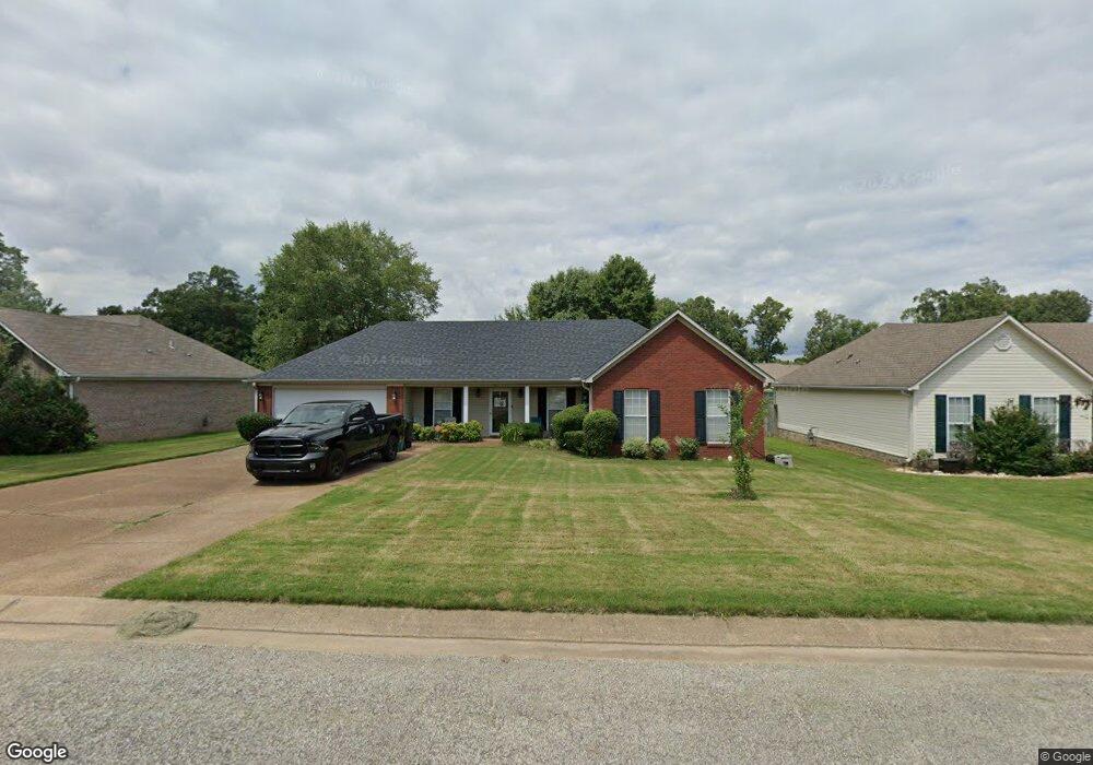
67 Suncrest Dr Jackson, TN 38305
Estimated Value: $233,525 - $274,000
Studio
3
Baths
1,717
Sq Ft
$152/Sq Ft
Est. Value
About This Home
This home is located at 67 Suncrest Dr, Jackson, TN 38305 and is currently estimated at $261,381, approximately $152 per square foot. 67 Suncrest Dr is a home located in Madison County with nearby schools including Pope School, Northeast Middle School, and North Side High School.
Ownership History
Date
Name
Owned For
Owner Type
Purchase Details
Closed on
Aug 14, 2019
Sold by
Mcdonald Henry
Bought by
Mcdonald Beverly
Current Estimated Value
Purchase Details
Closed on
Nov 29, 2005
Sold by
Crone Myrtle E
Bought by
Henry Mcdonald
Home Financials for this Owner
Home Financials are based on the most recent Mortgage that was taken out on this home.
Original Mortgage
$122,400
Outstanding Balance
$66,510
Interest Rate
6.1%
Estimated Equity
$194,871
Purchase Details
Closed on
Nov 28, 2005
Bought by
Henry Mcdonald
Home Financials for this Owner
Home Financials are based on the most recent Mortgage that was taken out on this home.
Original Mortgage
$122,400
Outstanding Balance
$66,510
Interest Rate
6.1%
Estimated Equity
$194,871
Purchase Details
Closed on
Jul 23, 2001
Sold by
Pham Tu M
Bought by
Crone Myrtle E
Purchase Details
Closed on
Oct 15, 1999
Bought by
Pham To M
Purchase Details
Closed on
Jun 21, 1999
Bought by
Winberry Const
Create a Home Valuation Report for This Property
The Home Valuation Report is an in-depth analysis detailing your home's value as well as a comparison with similar homes in the area
Purchase History
| Date | Buyer | Sale Price | Title Company |
|---|---|---|---|
| Mcdonald Beverly | -- | None Available | |
| Henry Mcdonald | $122,400 | -- | |
| Henry Mcdonald | $122,400 | -- | |
| Crone Myrtle E | $106,500 | -- | |
| Pham To M | $103,000 | -- | |
| Winberry Const | $99,000 | -- |
Source: Public Records
Mortgage History
| Date | Status | Borrower | Loan Amount |
|---|---|---|---|
| Open | Winberry Const | $122,400 |
Source: Public Records
Tax History Compared to Growth
Tax History
| Year | Tax Paid | Tax Assessment Tax Assessment Total Assessment is a certain percentage of the fair market value that is determined by local assessors to be the total taxable value of land and additions on the property. | Land | Improvement |
|---|---|---|---|---|
| 2025 | $890 | $47,525 | $6,875 | $40,650 |
| 2024 | $890 | $47,525 | $6,875 | $40,650 |
| 2022 | $1,656 | $47,525 | $6,875 | $40,650 |
| 2021 | $1,213 | $28,125 | $4,000 | $24,125 |
| 2020 | $1,213 | $28,125 | $4,000 | $24,125 |
| 2019 | $1,213 | $28,125 | $4,000 | $24,125 |
| 2018 | $1,213 | $28,125 | $4,000 | $24,125 |
| 2017 | $1,205 | $27,325 | $4,000 | $23,325 |
| 2016 | $1,123 | $27,325 | $4,000 | $23,325 |
| 2015 | $1,124 | $27,325 | $4,000 | $23,325 |
| 2014 | $1,111 | $27,025 | $4,000 | $23,025 |
Source: Public Records
Map
Nearby Homes
- 175 Willow Branch Dr
- 63 Starwood Cove
- 11 Deer Pointe
- 72 Nolan Cove
- 44 Nolan Cove
- 71 Nolan Cove
- 26 Ivybrook Dr
- 00 Sterling Farm Dr
- 0 - A Sterling Farm Dr
- 91 N Star Dr
- 9 Dayton Cove
- 0 - N Highway 45 Bypass Frontage
- 0 Old Humboldt Rd
- 59 Livingston Way
- 25 Lamplighter Cove
- 85 Weatheridge Dr
- 49 Plainsbrook Place
- 101 Shiloh Springs
- 378 Zachary Ln
- 410 Fairway Blvd
- 59 Suncrest Dr
- 75 Suncrest Dr
- 18 Birdsong Cove
- 10 Birdsong Cove
- 26 Birdsong Cove
- 51 Suncrest Dr
- 66 Suncrest Dr
- 74 Suncrest Dr
- 58 Suncrest Dr
- 34 Birdsong Cove
- 43 Suncrest Dr
- 50 Suncrest Dr
- 97 Jadewood Dr
- 89 Jadewood Dr
- 42 Birdsong Cove
- 123 Jadewood Dr
- 138 Jadewood Dr
- 81 Jadewood Dr
- 42 Suncrest Dr
- 9 Birdsong Cove