67 The Commons Unit 7 The Maples Moretown, VT 05660
Estimated Value: $149,799 - $189,000
1
Bed
1
Bath
594
Sq Ft
$274/Sq Ft
Est. Value
About This Home
This home is located at 67 The Commons Unit 7 The Maples, Moretown, VT 05660 and is currently estimated at $162,950, approximately $274 per square foot. 67 The Commons Unit 7 The Maples is a home located in Washington County with nearby schools including Moretown Elementary School, Waitsfield Elementary School, and Harwood Union Middle & High School.
Ownership History
Date
Name
Owned For
Owner Type
Purchase Details
Closed on
Jun 24, 2022
Sold by
Pistacchio Deborah J and Pistacchio Mindy B
Bought by
Sciarrotta Mark
Current Estimated Value
Purchase Details
Closed on
Nov 15, 2019
Sold by
Klein Matthew M
Bought by
Pisatacchio Deborah J and Pistacchio Mindy B
Purchase Details
Closed on
Jun 1, 2007
Sold by
Tyksiniski Adam K
Bought by
Klein Matthew M
Purchase Details
Closed on
Jun 29, 2004
Sold by
Gorman Mary M
Bought by
Tyksinski Adam K
Create a Home Valuation Report for This Property
The Home Valuation Report is an in-depth analysis detailing your home's value as well as a comparison with similar homes in the area
Home Values in the Area
Average Home Value in this Area
Purchase History
| Date | Buyer | Sale Price | Title Company |
|---|---|---|---|
| Sciarrotta Mark | $113,250 | -- | |
| Sciarrotta Mark | $113,250 | -- | |
| Sciarrotta Mark | $113,250 | -- | |
| Pisatacchio Deborah J | $97,500 | -- | |
| Pisatacchio Deborah J | $97,500 | -- | |
| Klein Matthew M | $88,000 | -- | |
| Klein Matthew M | $88,000 | -- | |
| Tyksinski Adam K | $70,000 | -- | |
| Tyksinski Adam K | $70,000 | -- |
Source: Public Records
Tax History Compared to Growth
Tax History
| Year | Tax Paid | Tax Assessment Tax Assessment Total Assessment is a certain percentage of the fair market value that is determined by local assessors to be the total taxable value of land and additions on the property. | Land | Improvement |
|---|---|---|---|---|
| 2024 | $1,532 | $159,000 | $0 | $159,000 |
| 2023 | $1,532 | $82,100 | $0 | $82,100 |
| 2022 | $1,820 | $82,100 | $0 | $82,100 |
| 2021 | $1,761 | $82,100 | $0 | $82,100 |
| 2020 | $1,824 | $82,100 | $0 | $82,100 |
| 2019 | $1,756 | $82,100 | $0 | $82,100 |
| 2018 | $1,709 | $82,100 | $0 | $82,100 |
| 2016 | $1,630 | $82,100 | $0 | $82,100 |
Source: Public Records
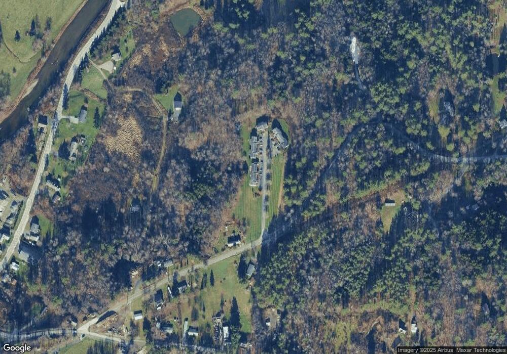
Map
Nearby Homes
- 57 The Commons Unit 4
- 75 The Commons Unit 10
- 1808 Route 100b
- 989 Vermont Route 100b Route
- 778 Route 100 B
- 1407 Moretown Mountain Rd
- 459 Bat Hennesey Rd
- 720 Bat Hennessy Rd
- 12 Delong Rd
- 80 Wade Rd
- 801 Vt Route 100
- 801 Vermont Route 100
- TBD Wilder Rd
- 1910 Stevens Brook Rd
- TBD Taylor Rd
- 3000 Vermont Route 100 Unit 6A
- 3000 Vermont Route 100 Unit 6C
- 149 Airport Rd Unit Fly-In B
- 0 Devils Washbowl
- 485 Smith Rd
- 67 The Commons Unit 5
- 67 The Commons
- 67 The Commons Unit 7
- 57 the Commons #1 Unit 1
- 75 Commons Unit 10
- 75 Commons
- 13 The Commons Unit 13 The Pines
- 58 The Commons Unit 1
- 81 The Commons Unit 14
- 81 The Commons Unit 13
- 81 Moretown Common Rd Unit 14
- 83 the Commons Unit 16
- 83 The Commons Unit 3
- 83 the Commons Unit 3
- 83 The Commons Unit 15
- 84 the Commons Unit 25
- 84 the Commons Unit 25
- 84 the Commons Unit 24
- 82 The Commons Unit 27
- 84 The Commons Unit 25