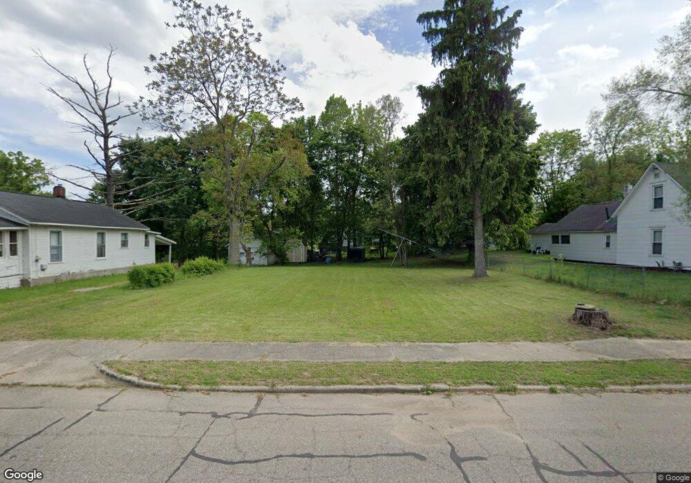
67 Vineyard Ave Battle Creek, MI 49037
North Central NeighborhoodEstimated Value: $58,000 - $111,000
--
Bed
--
Bath
--
Sq Ft
8,712
Sq Ft Lot
About This Home
This home is located at 67 Vineyard Ave, Battle Creek, MI 49037 and is currently estimated at $89,667. 67 Vineyard Ave is a home located in Calhoun County with nearby schools including Dudley School, Northwestern Middle School, and Battle Creek Central High School.
Ownership History
Date
Name
Owned For
Owner Type
Purchase Details
Closed on
Aug 14, 2014
Sold by
Calhoun County Land Bank Authority
Bought by
Drain Bennie and Drain Frank A
Current Estimated Value
Purchase Details
Closed on
Dec 14, 2012
Sold by
Calhoun County Treasurer
Bought by
The Calhoun County Land Bank Authority
Purchase Details
Closed on
Feb 18, 2010
Sold by
Moye Donita M
Bought by
Church New Beginnings Damascus
Purchase Details
Closed on
Jun 17, 2008
Sold by
Moye Donita M
Bought by
Church New Beginnings Damascus
Purchase Details
Closed on
Feb 6, 2004
Sold by
Manufacturers & Traders Trust Co
Bought by
Moye Donita M
Purchase Details
Closed on
Dec 6, 2002
Sold by
Brooks Teresa L
Bought by
Manufacturers & Traders Trust Co
Purchase Details
Closed on
Dec 30, 1997
Bought by
Brooks
Create a Home Valuation Report for This Property
The Home Valuation Report is an in-depth analysis detailing your home's value as well as a comparison with similar homes in the area
Home Values in the Area
Average Home Value in this Area
Purchase History
| Date | Buyer | Sale Price | Title Company |
|---|---|---|---|
| Drain Bennie | $200 | None Available | |
| The Calhoun County Land Bank Authority | -- | None Available | |
| Church New Beginnings Damascus | -- | None Available | |
| Church New Beginnings Damascus | -- | First American Title Ins Co | |
| Moye Donita M | $9,900 | Fatic | |
| Manufacturers & Traders Trust Co | $3,600 | -- | |
| Brooks | $14,100 | -- |
Source: Public Records
Tax History Compared to Growth
Tax History
| Year | Tax Paid | Tax Assessment Tax Assessment Total Assessment is a certain percentage of the fair market value that is determined by local assessors to be the total taxable value of land and additions on the property. | Land | Improvement |
|---|---|---|---|---|
| 2025 | -- | $3,300 | $0 | $0 |
| 2024 | $45 | $2,475 | $0 | $0 |
| 2023 | $57 | $1,650 | $0 | $0 |
| 2022 | $40 | $1,155 | $0 | $0 |
| 2021 | $54 | $990 | $0 | $0 |
| 2020 | $31 | $825 | $0 | $0 |
| 2019 | $31 | $660 | $0 | $0 |
| 2018 | $31 | $660 | $660 | $0 |
| 2017 | $30 | $660 | $0 | $0 |
| 2016 | $30 | $660 | $0 | $0 |
| 2015 | -- | $825 | $0 | $0 |
| 2014 | -- | $3,275 | $3,275 | $0 |
Source: Public Records
Map
Nearby Homes
- 5 Beglin Ct
- 52 Roseneath Ave
- 435 Kendall St N
- 188 Roseneath Ave
- 216 Kendall St N
- 161 Wilds Ave
- 224 Hubbard St
- 46 Walter Ave
- 706 Washington Ave N
- 125 Oaklawn Ave
- 253 Greenwood Ave
- 129 Fox Ave
- 69 Coolidge Ave W
- 60 Graves Ave
- 69 Jordan St
- 62 Coolidge Ave W
- 89 Somerset Ave
- 35 Hubbard St
- 000 5 Mile Rd
- 11 Coolidge Ave W
- 65 Vineyard Ave
- 69 Vineyard Ave
- 68 Vineyard Ave
- 71 Vineyard Ave
- 70 Roosevelt Ave W
- 64 Roosevelt Ave W
- 51 Vineyard Ave
- 80 Vineyard Ave
- 54 Roosevelt Ave W
- 56 Roosevelt Ave W
- 74 Roosevelt Ave W
- 48 Roosevelt Ave W
- 93 Vineyard Ave
- 37 Vineyard Ave
- 53 Roosevelt Ave W
- 49 Roosevelt Ave W
- 95 Vineyard Ave
- 38 Roosevelt Ave W
- 336 Howland St
- 86 Vineyard Ave