67 White Pine Rd Fairfax, VT 05454
Estimated Value: $436,000 - $566,000
Studio
--
Bath
--
Sq Ft
15.34
Acres
About This Home
This home is located at 67 White Pine Rd, Fairfax, VT 05454 and is currently estimated at $499,565. 67 White Pine Rd is a home located in Franklin County with nearby schools including BFA Middle/High School Fairfax and Avalon Triumvirate Academy.
Ownership History
Date
Name
Owned For
Owner Type
Purchase Details
Closed on
Oct 15, 2024
Sold by
The Aleta J Decker Revocable Trust
Bought by
Mcnall Tyler and Dunham Abigail
Current Estimated Value
Purchase Details
Closed on
Mar 3, 2022
Sold by
Decker Aleta J
Purchase Details
Closed on
Jan 6, 2017
Sold by
Decker Aleta J and Decker Winfred R
Bought by
Decker Aleta J and Decker Dana
Purchase Details
Closed on
May 7, 2014
Sold by
Mcnall Denise J
Bought by
Mcnall Denise and Decker Winfred R
Purchase Details
Closed on
Feb 27, 2014
Sold by
Averill Michael J and Casey Mary E
Bought by
Mcnall Denise
Create a Home Valuation Report for This Property
The Home Valuation Report is an in-depth analysis detailing your home's value as well as a comparison with similar homes in the area
Home Values in the Area
Average Home Value in this Area
Purchase History
| Date | Buyer | Sale Price | Title Company |
|---|---|---|---|
| Mcnall Tyler | -- | -- | |
| -- | -- | -- | |
| -- | -- | -- | |
| Decker Aleta J | -- | -- | |
| Decker Aleta J | -- | -- | |
| Mcnall Denise | -- | -- | |
| Mcnall Denise | $325,000 | -- |
Source: Public Records
Mortgage History
| Date | Status | Borrower | Loan Amount |
|---|---|---|---|
| Closed | Decker Aleta J | $0 |
Source: Public Records
Tax History
| Year | Tax Paid | Tax Assessment Tax Assessment Total Assessment is a certain percentage of the fair market value that is determined by local assessors to be the total taxable value of land and additions on the property. | Land | Improvement |
|---|---|---|---|---|
| 2024 | -- | $437,200 | $126,700 | $310,500 |
| 2023 | -- | $437,200 | $126,700 | $310,500 |
| 2022 | $6,700 | $437,200 | $126,700 | $310,500 |
| 2021 | $5,715 | $269,700 | $89,700 | $180,000 |
| 2020 | $5,529 | $269,700 | $89,700 | $180,000 |
| 2019 | $5,091 | $269,700 | $89,700 | $180,000 |
| 2018 | $4,835 | $258,700 | $89,700 | $169,000 |
| 2017 | $5,154 | $257,100 | $89,700 | $167,400 |
| 2016 | $4,687 | $257,100 | $89,700 | $167,400 |
| 2015 | -- | $2,571 | $0 | $0 |
| 2014 | -- | $2,571 | $0 | $0 |
| 2013 | -- | $2,571 | $0 | $0 |
Source: Public Records
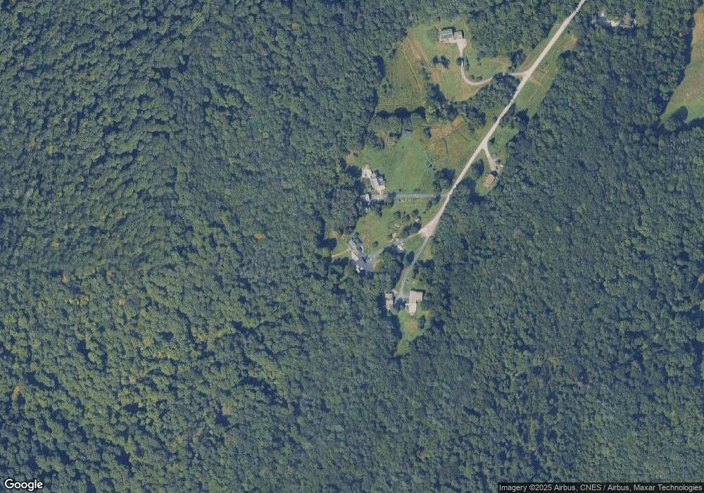
Map
Nearby Homes
- 1708 Bovat Rd
- 14 Andbron Rd
- 6 Leos Ln
- 6 Leos Ln Unit Lot 6
- 236 Leos Ln
- 422 Sam Webb Rd
- 34 Gaudette Farm Rd
- 60 Appletree Rd
- Lot 1 Highbridge Rd
- 34 Leach Rd
- 0 Highbridge Rd
- 733 Buck Hollow Rd
- 34 Sweet Bedrock Ln
- 190 Decker Rd
- 193 Austin Rd
- 177 Kingsland Hollow Rd
- 1120 Polly Hubbard Rd
- 74 Willow Way
- 0 North Rd Unit LotWP001
- 0 North Rd Unit 5064341
- 61 White Pine Rd
- 68 White Pine Rd
- 54 White Pine Rd
- 17 Heather Rd
- 41 White Pine Rd
- 24 White Pine Rd
- 128 Wagner Rd
- 16 Clark Rd
- 48 Clark Rd
- 19 Heritage Rd
- 110 Wagner Rd
- 67 Clark Rd
- 33 Goodrich Hill Rd
- 33 Goodrich Hill Rd
- 77 Wagner Rd
- 520 Nichols Rd
- 15 Heritage Rd
- 498 Nichols Rd
- 530 Nichols Rd
- 80 Wagner Rd