67 Whittier Hwy Moultonborough, NH 03254
Estimated Value: $1,494,663
--
Bed
--
Bath
12,100
Sq Ft
$124/Sq Ft
Est. Value
About This Home
This home is located at 67 Whittier Hwy, Moultonborough, NH 03254 and is currently estimated at $1,494,663, approximately $123 per square foot. 67 Whittier Hwy is a home located in Carroll County with nearby schools including Moultonborough Central School, Moultonborough Academy High School, and Immaculate Conception Apostolic School.
Ownership History
Date
Name
Owned For
Owner Type
Purchase Details
Closed on
Dec 14, 2022
Sold by
Crucon Re Holdings Llc
Bought by
Jads Pro Llc
Current Estimated Value
Purchase Details
Closed on
May 21, 2014
Sold by
Meredith Village Sb
Bought by
Crucon Real Est Hldg L
Home Financials for this Owner
Home Financials are based on the most recent Mortgage that was taken out on this home.
Original Mortgage
$620,000
Interest Rate
4.33%
Mortgage Type
Commercial
Create a Home Valuation Report for This Property
The Home Valuation Report is an in-depth analysis detailing your home's value as well as a comparison with similar homes in the area
Home Values in the Area
Average Home Value in this Area
Purchase History
| Date | Buyer | Sale Price | Title Company |
|---|---|---|---|
| Jads Pro Llc | $1,250,000 | None Available | |
| Jads Pro Llc | $1,250,000 | None Available | |
| Jads Pro Llc | $1,250,000 | None Available | |
| Crucon Real Est Hldg L | $775,000 | -- | |
| Crucon Real Est Hldg L | $775,000 | -- |
Source: Public Records
Mortgage History
| Date | Status | Borrower | Loan Amount |
|---|---|---|---|
| Previous Owner | Crucon Real Est Hldg L | $620,000 |
Source: Public Records
Tax History Compared to Growth
Tax History
| Year | Tax Paid | Tax Assessment Tax Assessment Total Assessment is a certain percentage of the fair market value that is determined by local assessors to be the total taxable value of land and additions on the property. | Land | Improvement |
|---|---|---|---|---|
| 2024 | $7,702 | $1,363,200 | $209,600 | $1,153,600 |
| 2023 | $7,119 | $1,249,000 | $171,000 | $1,078,000 |
| 2022 | $4,824 | $1,009,200 | $138,500 | $870,700 |
| 2021 | $6,941 | $994,400 | $138,500 | $855,900 |
| 2020 | $6,793 | $952,800 | $138,500 | $814,300 |
| 2019 | $5,907 | $826,200 | $115,200 | $711,000 |
| 2018 | $6,394 | $828,200 | $115,200 | $713,000 |
| 2017 | $6,492 | $789,800 | $115,200 | $674,600 |
| 2016 | $6,881 | $787,300 | $115,200 | $672,100 |
| 2015 | $7,157 | $794,300 | $122,200 | $672,100 |
| 2014 | $6,745 | $761,300 | $122,200 | $639,100 |
| 2013 | $6,935 | $798,000 | $122,200 | $675,800 |
Source: Public Records
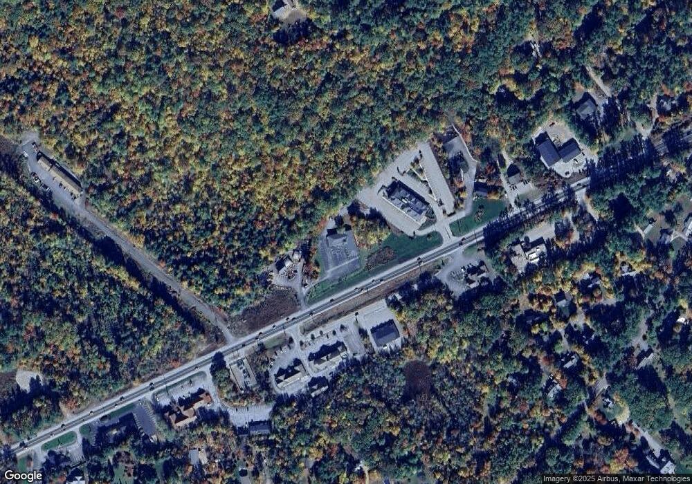
Map
Nearby Homes
- 25 Whittier Hwy
- 38 Lake Shore Dr Unit 10
- 38 Lake Shore Dr Unit 12
- 00 Whittier Hwy Unit 8
- 24 Dew Point Ln
- 20 Coe Hill Rd
- 11 Jennifer's Path
- 21 Burton Rd
- 122 Coe Hill Rd
- 320 Redding Ln
- 71 Butterfield Rd
- 145 Hanson Dr
- 525 Whittier Hwy
- 203 Krainewood Dr
- 100 Marvin Rd
- 314 Dane Rd Unit 318
- 4 Schneider Rd
- 647 Whittier Hwy
- 122 Toltec Point Rd
- 00 Gilman Hill Rd
- 81 Whittier Hwy
- 70 Whittier Hwy
- 34 Whittier Hwy Unit 23/34
- 34 Whittier Hwy Unit 23/34
- 34 Whittier Hwy
- 73 Whittier Hwy
- 118 Whittier Hwy
- 87 Whittier Hwy
- 130 Whittier Hwy
- 24 Bentley Rd
- 18 Bentley Rd
- 28 Bentley Rd
- 14 Bentley Rd
- 83 Lake Shore Dr
- 79 Lake Shore Dr
- 60 Whittier Hwy
- 60 Whittier Hwy Unit 7B
- 60 Whittier Hwy Unit LL
- 60 Whittier Hwy Unit 13
- 60 Whittier Hwy Unit 11