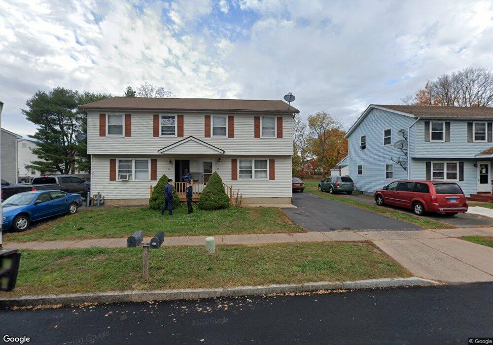
67 Wilfred Rd Manchester, CT 06040
Spencer NeighborhoodEstimated Value: $326,000 - $388,000
--
Bed
2
Baths
--
Sq Ft
0.3
Acres
About This Home
This home is located at 67 Wilfred Rd, Manchester, CT 06040 and is currently estimated at $347,920. 67 Wilfred Rd is a home located in Hartford County with nearby schools including Verplanck Elementary School, Elisabeth M. Bennet Academy, and Illing Middle School.
Ownership History
Date
Name
Owned For
Owner Type
Purchase Details
Closed on
Dec 27, 2018
Sold by
Le Tuan
Bought by
Le Tuan and Le Thoai
Current Estimated Value
Purchase Details
Closed on
Feb 16, 2018
Sold by
Le Thoai
Bought by
Le Tuan
Home Financials for this Owner
Home Financials are based on the most recent Mortgage that was taken out on this home.
Original Mortgage
$178,000
Interest Rate
3.38%
Mortgage Type
Credit Line Revolving
Purchase Details
Closed on
Jul 18, 2012
Sold by
Le Tuan
Bought by
Le Tuan and Le Thoai
Purchase Details
Closed on
Jun 14, 2010
Sold by
Dasilva Rogerio and Dasilva Jean M
Bought by
Le Tuan
Home Financials for this Owner
Home Financials are based on the most recent Mortgage that was taken out on this home.
Original Mortgage
$196,000
Interest Rate
5.11%
Create a Home Valuation Report for This Property
The Home Valuation Report is an in-depth analysis detailing your home's value as well as a comparison with similar homes in the area
Home Values in the Area
Average Home Value in this Area
Purchase History
| Date | Buyer | Sale Price | Title Company |
|---|---|---|---|
| Le Tuan | -- | -- | |
| Le Tuan | -- | -- | |
| Le Tuan | -- | -- | |
| Le Tuan | -- | -- | |
| Le Tuan | -- | -- | |
| Le Tuan | -- | -- | |
| Le Tuan | $245,000 | -- | |
| Le Tuan | $245,000 | -- |
Source: Public Records
Mortgage History
| Date | Status | Borrower | Loan Amount |
|---|---|---|---|
| Previous Owner | Le Tuan | $178,000 | |
| Previous Owner | Le Tuan | $196,000 | |
| Previous Owner | Le Tuan | $148,000 |
Source: Public Records
Tax History Compared to Growth
Tax History
| Year | Tax Paid | Tax Assessment Tax Assessment Total Assessment is a certain percentage of the fair market value that is determined by local assessors to be the total taxable value of land and additions on the property. | Land | Improvement |
|---|---|---|---|---|
| 2025 | $6,925 | $173,900 | $32,000 | $141,900 |
| 2024 | $6,726 | $173,900 | $32,000 | $141,900 |
| 2023 | $6,469 | $173,900 | $32,000 | $141,900 |
| 2022 | $6,281 | $173,900 | $32,000 | $141,900 |
| 2021 | $6,386 | $152,300 | $29,100 | $123,200 |
| 2020 | $6,377 | $152,300 | $29,100 | $123,200 |
| 2019 | $6,351 | $152,300 | $29,100 | $123,200 |
| 2018 | $6,231 | $152,300 | $29,100 | $123,200 |
| 2017 | $6,054 | $152,300 | $29,100 | $123,200 |
| 2016 | $6,019 | $151,700 | $36,900 | $114,800 |
| 2015 | $5,977 | $151,700 | $36,900 | $114,800 |
| 2014 | $5,863 | $151,700 | $36,900 | $114,800 |
Source: Public Records
Map
Nearby Homes
- 22 Wilfred Rd
- 11 Spencer & 363 365 Olcott St
- 36 Oleary Dr
- 18 Chalmers St
- 4 Tyler Cir
- 21 Trebbe Dr
- 61 Cougar Dr
- 83 Olcott St
- 102 Wetherell St Unit 16
- 367 Hillstown Rd
- 158 Mckee St
- 365 Hillstown Rd
- 126 Falknor Dr
- 633 Center St Unit E
- 633 Center St Unit A
- 600 Center St
- 20 Thompson Rd Unit 8A
- 15 Saint John St
- 21 Saint John St
- 565 Adams St