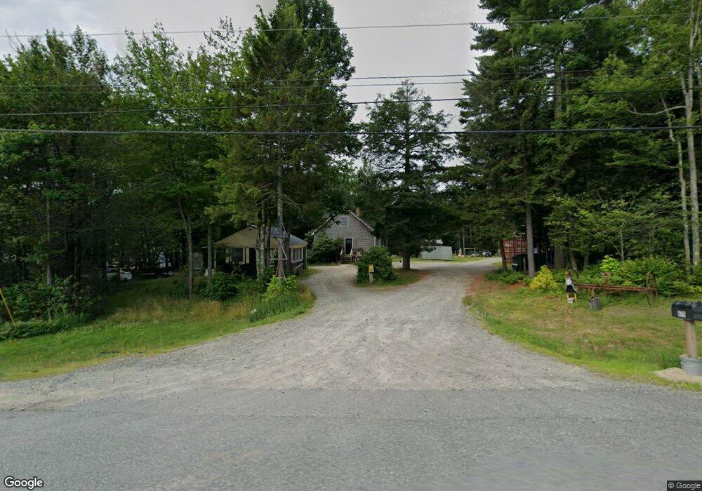
670 Bangor Rd Ellsworth, ME 04605
Estimated Value: $311,143 - $372,000
3
Beds
1
Bath
1,326
Sq Ft
$253/Sq Ft
Est. Value
About This Home
This home is located at 670 Bangor Rd, Ellsworth, ME 04605 and is currently estimated at $335,036, approximately $252 per square foot. 670 Bangor Rd is a home located in Hancock County with nearby schools including Sumner Memorial High School.
Ownership History
Date
Name
Owned For
Owner Type
Purchase Details
Closed on
Apr 2, 2015
Sold by
Davis Chad E and Davis Amanda L
Bought by
Davis Chad E and Davis Amanda L
Current Estimated Value
Home Financials for this Owner
Home Financials are based on the most recent Mortgage that was taken out on this home.
Original Mortgage
$118,700
Interest Rate
3.87%
Mortgage Type
FHA
Create a Home Valuation Report for This Property
The Home Valuation Report is an in-depth analysis detailing your home's value as well as a comparison with similar homes in the area
Home Values in the Area
Average Home Value in this Area
Purchase History
| Date | Buyer | Sale Price | Title Company |
|---|---|---|---|
| Davis Chad E | -- | -- |
Source: Public Records
Mortgage History
| Date | Status | Borrower | Loan Amount |
|---|---|---|---|
| Closed | Davis Chad E | $118,700 |
Source: Public Records
Tax History Compared to Growth
Tax History
| Year | Tax Paid | Tax Assessment Tax Assessment Total Assessment is a certain percentage of the fair market value that is determined by local assessors to be the total taxable value of land and additions on the property. | Land | Improvement |
|---|---|---|---|---|
| 2024 | $3,579 | $205,080 | $31,920 | $173,160 |
| 2023 | $3,183 | $184,000 | $30,590 | $153,410 |
| 2022 | $2,889 | $184,000 | $30,590 | $153,410 |
| 2021 | $2,677 | $148,500 | $26,600 | $121,900 |
| 2020 | $2,765 | $147,300 | $26,600 | $120,700 |
| 2019 | $2,771 | $147,300 | $26,600 | $120,700 |
| 2018 | $2,687 | $147,300 | $26,600 | $120,700 |
| 2017 | $2,580 | $143,600 | $26,600 | $117,000 |
| 2016 | $2,539 | $143,600 | $26,600 | $117,000 |
| 2015 | $2,542 | $143,600 | $26,600 | $117,000 |
| 2014 | $2,362 | $143,600 | $26,600 | $117,000 |
| 2012 | $2,219 | $143,600 | $26,600 | $117,000 |
Source: Public Records
Map
Nearby Homes
- 0 Bangor Rd
- 498 Bangor Rd
- 775 Red Bridge Rd
- 928 Red Bridge Rd
- 428 Bangor Rd
- 403 Bangor Rd
- 75 Bridgetwin Rd
- Lot 9 Foggy Ridge Way
- Lot 5 Foggy Ridge Way
- 198 Bangor Rd
- 1 Eagle Island
- 34 Eagle Rd
- 0 Branch Pond Rd
- 0 Nevells Way
- 1101
- 20 Upper Boggy Brook Rd
- 1400 Bangor Rd
- 18 Tamarac Rd
- 24 Tamarac Rd
- 363 Shore Rd
- 664 Bangor Rd
- 654 Bangor Rd
- 0 Rt 1 & Dales Way 66-16&67-02 Unit 925334
- 21 Taylor Way
- 667 Bangor Rd Unit D
- 667 Bangor Rd
- 0 Boggy Brook & Dales Way 104-25 Unit 925374
- 696 Bangor Rd
- 9 Taylor Way
- 634 Bangor Rd
- 634A Bangor Rd
- 0 Route 1a (Bangor Road) Unit 989142
- 0 Route 1a (Bangor Road) Unit 1156295
- 726 Bangor Rd
- 23 Ledge Way
- 6-23 Ledge Way
- 6 Ledge Way
- 735 Bangor Rd
- 734 Bangor Rd
- 750 Bangor Rd