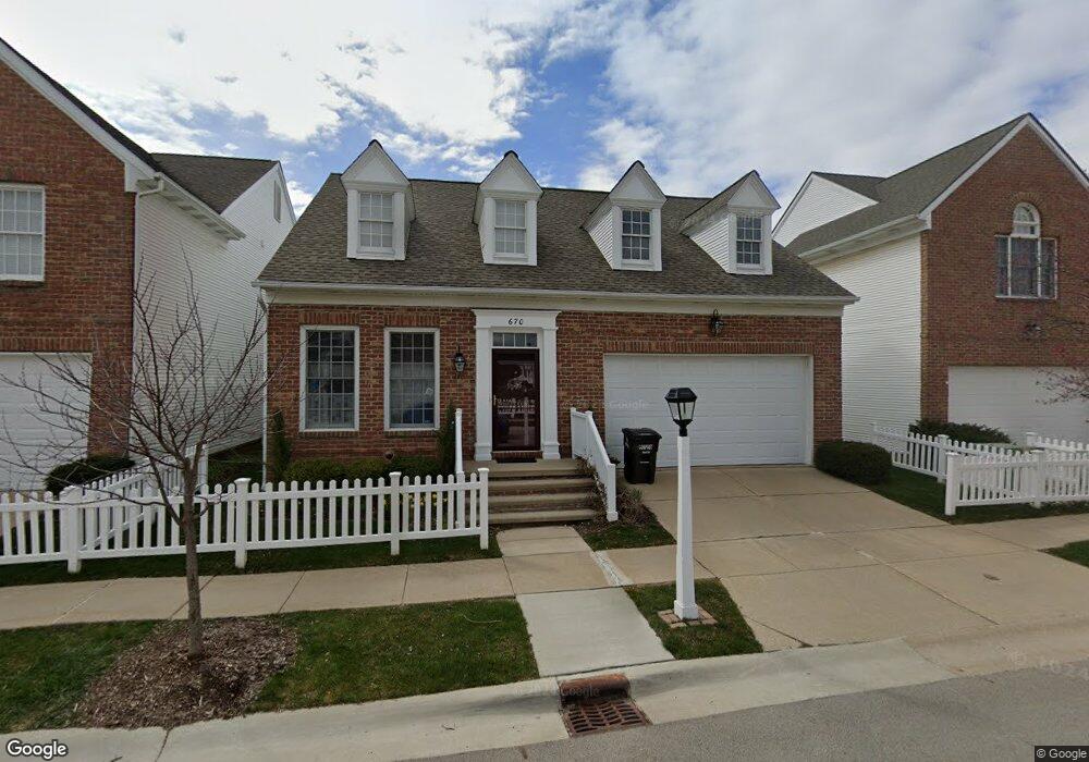
670 Boston Ct Ann Arbor, MI 48103
Liberty Glen NeighborhoodEstimated Value: $412,000 - $492,000
3
Beds
2
Baths
1,725
Sq Ft
$265/Sq Ft
Est. Value
About This Home
This home is located at 670 Boston Ct, Ann Arbor, MI 48103 and is currently estimated at $457,560, approximately $265 per square foot. 670 Boston Ct is a home located in Washtenaw County with nearby schools including Lakewood Elementary School, Forsythe Middle School, and Skyline High School.
Ownership History
Date
Name
Owned For
Owner Type
Purchase Details
Closed on
Mar 23, 2022
Sold by
Ida Copeland
Bought by
Ida Copeland Trust
Current Estimated Value
Purchase Details
Closed on
Mar 30, 2001
Sold by
Ndc Of Liberty Oaks Ltd
Bought by
Copeland Ida
Purchase Details
Closed on
Aug 15, 1997
Sold by
Oaks L L C Liberty
Bought by
Ndc Of Liberty Oaks Ltd
Create a Home Valuation Report for This Property
The Home Valuation Report is an in-depth analysis detailing your home's value as well as a comparison with similar homes in the area
Home Values in the Area
Average Home Value in this Area
Purchase History
| Date | Buyer | Sale Price | Title Company |
|---|---|---|---|
| Ida Copeland Trust | -- | None Listed On Document | |
| Copeland Ida | -- | None Listed On Document | |
| Copeland Ida | $277,185 | -- | |
| Ndc Of Liberty Oaks Ltd | $34,500 | -- |
Source: Public Records
Tax History Compared to Growth
Tax History
| Year | Tax Paid | Tax Assessment Tax Assessment Total Assessment is a certain percentage of the fair market value that is determined by local assessors to be the total taxable value of land and additions on the property. | Land | Improvement |
|---|---|---|---|---|
| 2025 | $7,423 | $220,700 | $0 | $0 |
| 2024 | $6,913 | $210,900 | $0 | $0 |
| 2023 | $6,374 | $193,700 | $0 | $0 |
| 2022 | $6,946 | $173,400 | $0 | $0 |
| 2021 | $6,782 | $181,300 | $0 | $0 |
| 2020 | $6,645 | $174,800 | $0 | $0 |
| 2019 | $6,324 | $180,000 | $180,000 | $0 |
| 2018 | $6,235 | $166,900 | $0 | $0 |
| 2017 | $6,065 | $167,100 | $0 | $0 |
| 2016 | $5,852 | $121,285 | $0 | $0 |
| 2015 | $5,573 | $120,923 | $0 | $0 |
| 2014 | $5,573 | $117,145 | $0 | $0 |
| 2013 | -- | $117,145 | $0 | $0 |
Source: Public Records
Map
Nearby Homes
- 609 Liberty Pointe Dr Unit 45
- 922 W Summerfield Glen Cir Unit 110
- 324 Highlake Ave
- 1008 W Summerfield Glen Cir
- 2564 W Towne St
- 570 S Maple Rd
- 2509 W Liberty St
- 3177 Sunnywood Dr
- 3224 Lakewood Dr
- 1053 Bluestem Ln
- 1255 Joyce Ln Unit 1
- 2149 Fair St
- 1235 S Maple Rd Unit 101
- 1235 S Maple Rd Unit 202
- 1225 S Maple Rd Unit 307
- 1366 N Bay Dr Unit 144
- 1265 S Maple Rd Unit 207
- 2052 Liberty Heights
- 2120 Pauline Blvd Unit 305
- 1419 N Bay Dr Unit 73
- 674 Boston Ct
- 2963 Salem Dr Unit 3
- 2973 Salem Dr
- 0 Boston Ct
- 0 Salem St
- 678 Boston Ct Unit 7
- 2935 Salem Dr Unit 17
- 2962 Salem Dr
- 2952 Salem Dr
- 2972 Salem Dr Unit 28
- 671 Boston Ct Unit 16
- 2983 Salem Dr
- 692 Boston Ct Unit Bldg-Unit
- 692 Boston Ct
- 682 Boston Ct Unit 8
- 2982 Salem Dr
- 679 Boston Ct Unit 15
- 690 Boston Ct Unit 10
- 2925 Salem Dr
- 683 Boston Ct Unit 14