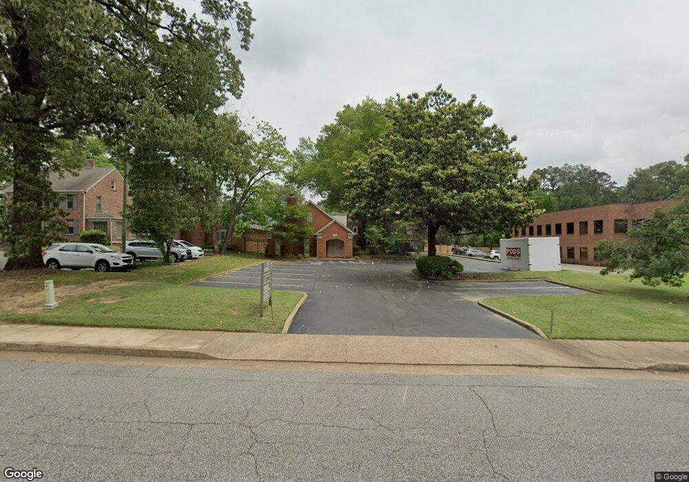
670 Colonial Rd Unit 5 Memphis, TN 38117
Audubon Park NeighborhoodEstimated Value: $449,731
--
Bed
--
Bath
2,142
Sq Ft
$210/Sq Ft
Est. Value
About This Home
This home is located at 670 Colonial Rd Unit 5, Memphis, TN 38117 and is currently estimated at $449,731, approximately $209 per square foot. 670 Colonial Rd Unit 5 is a home located in Shelby County with nearby schools including Sea Isle Elementary School, White Station High, and Colonial Middle.
Ownership History
Date
Name
Owned For
Owner Type
Purchase Details
Closed on
Aug 9, 2022
Sold by
Thomas Marrio R and Thomas Leslie
Bought by
Dr Marrio Smiles Pllc
Current Estimated Value
Home Financials for this Owner
Home Financials are based on the most recent Mortgage that was taken out on this home.
Original Mortgage
$971,400
Outstanding Balance
$815,250
Interest Rate
5.51%
Mortgage Type
New Conventional
Estimated Equity
-$365,519
Purchase Details
Closed on
Aug 13, 2020
Sold by
Frezza Bradley M and Frezza Nan Y
Bought by
Thomas Mario and Smith Thomas Leslie
Purchase Details
Closed on
Nov 11, 2008
Sold by
Hawks Stephen
Bought by
Frezza Bradley M and Frezza Nan Y
Create a Home Valuation Report for This Property
The Home Valuation Report is an in-depth analysis detailing your home's value as well as a comparison with similar homes in the area
Home Values in the Area
Average Home Value in this Area
Purchase History
| Date | Buyer | Sale Price | Title Company |
|---|---|---|---|
| Dr Marrio Smiles Pllc | -- | Wyatt Tarrant & Combs Llp | |
| Thomas Mario | $385,000 | Realty Title & Escrow | |
| Frezza Bradley M | $200,000 | Realty Title & Escrow |
Source: Public Records
Mortgage History
| Date | Status | Borrower | Loan Amount |
|---|---|---|---|
| Open | Dr Marrio Smiles Pllc | $971,400 |
Source: Public Records
Tax History Compared to Growth
Tax History
| Year | Tax Paid | Tax Assessment Tax Assessment Total Assessment is a certain percentage of the fair market value that is determined by local assessors to be the total taxable value of land and additions on the property. | Land | Improvement |
|---|---|---|---|---|
| 2025 | -- | $143,960 | $18,720 | $125,240 |
| 2024 | $4,799 | $141,560 | $18,720 | $122,840 |
| 2023 | $8,623 | $141,560 | $18,720 | $122,840 |
| 2022 | $8,623 | $141,560 | $18,720 | $122,840 |
| 2021 | $8,724 | $141,560 | $18,720 | $122,840 |
| 2020 | $2,876 | $90,000 | $18,720 | $71,280 |
| 2019 | $2,876 | $90,000 | $18,720 | $71,280 |
| 2018 | $2,876 | $90,000 | $18,720 | $71,280 |
| 2017 | $2,944 | $90,000 | $18,720 | $71,280 |
| 2016 | $4,055 | $92,800 | $0 | $0 |
| 2014 | $4,055 | $92,800 | $0 | $0 |
Source: Public Records
Map
Nearby Homes
- 4779 Eagle Crest Dr Unit 1
- 688 Berry Rd
- 4859 Spottswood Ave
- 4776 Audubon View Cir Unit 1
- 4777 Audubon View Cir Unit 3004
- 809 Merrywood Dr Unit 4
- 4821 Kingsgate Place S
- 4930 Spottswood Ave
- 730 Forest Lake Dr Unit 3304
- 678 Moss Rd
- 4764 Eagle Crest Dr Unit 4002
- 814 Thistledown Dr Unit 1206
- 812 Creekside Dr Unit 2
- 820 Creekside Dr Unit 1
- 830 Colonial Rd
- 468 Kingsgate Cove
- 755 S Perkins Rd
- 4948 Fairfield Cir
- 435 Fairfield Cir
- 4903 Greenway Ave
- 665 Saint Nick Dr
- 673 Saint Nick Dr
- 657 Saint Nick Dr
- 642 Colonial Rd
- 673 St Nick
- 681 Saint Nick Dr
- 653 Saint Nick Dr
- 687 Saint Nick Dr
- 645 Saint Nick Dr
- 695 Saint Nick Dr
- 4855 Southern Ave
- 674 Saint Nick Dr
- 682 Saint Nick Dr
- 703 Saint Nick Dr
- 688 Saint Nick Dr
- 4859 Southern Ave
- 4856 Southern Ave
- 696 Saint Nick Dr
- 805 Creekside Dr Unit 105
- 713 Saint Nick Dr