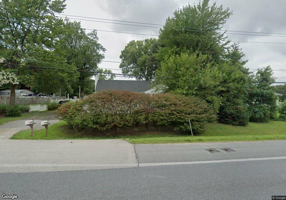
670 Donaldson Ave Severn, MD 21144
Estimated Value: $545,000 - $607,000
--
Bed
2
Baths
2,136
Sq Ft
$266/Sq Ft
Est. Value
About This Home
This home is located at 670 Donaldson Ave, Severn, MD 21144 and is currently estimated at $567,828, approximately $265 per square foot. 670 Donaldson Ave is a home located in Anne Arundel County with nearby schools including Severn Elementary School, Old Mill Middle School North, and Old Mill High School.
Ownership History
Date
Name
Owned For
Owner Type
Purchase Details
Closed on
Mar 11, 2016
Sold by
Us Bank Na
Bought by
Wyatt David
Current Estimated Value
Home Financials for this Owner
Home Financials are based on the most recent Mortgage that was taken out on this home.
Original Mortgage
$265,899
Interest Rate
4.19%
Mortgage Type
New Conventional
Purchase Details
Closed on
Jul 14, 2015
Sold by
Faulkner Norman V and Faulkner Melissa
Bought by
Us Bank National Association
Purchase Details
Closed on
Oct 29, 2002
Sold by
Faulkner Norman V
Bought by
Faulkner Norman V and Faulkner Melissa
Create a Home Valuation Report for This Property
The Home Valuation Report is an in-depth analysis detailing your home's value as well as a comparison with similar homes in the area
Home Values in the Area
Average Home Value in this Area
Purchase History
| Date | Buyer | Sale Price | Title Company |
|---|---|---|---|
| Wyatt David | $154,500 | Mileston Title Llc | |
| Us Bank National Association | $364,000 | Attorney | |
| Faulkner Norman V | -- | -- |
Source: Public Records
Mortgage History
| Date | Status | Borrower | Loan Amount |
|---|---|---|---|
| Previous Owner | Wyatt David | $265,899 | |
| Closed | Faulkner Norman V | -- |
Source: Public Records
Tax History Compared to Growth
Tax History
| Year | Tax Paid | Tax Assessment Tax Assessment Total Assessment is a certain percentage of the fair market value that is determined by local assessors to be the total taxable value of land and additions on the property. | Land | Improvement |
|---|---|---|---|---|
| 2025 | $5,084 | $440,500 | $175,300 | $265,200 |
| 2024 | $5,084 | $418,433 | $0 | $0 |
| 2023 | $2,570 | $396,367 | $0 | $0 |
| 2022 | $4,342 | $374,300 | $165,300 | $209,000 |
| 2021 | $8,424 | $361,867 | $0 | $0 |
| 2020 | $4,042 | $349,433 | $0 | $0 |
| 2019 | $3,916 | $337,000 | $135,300 | $201,700 |
| 2018 | $3,417 | $337,000 | $135,300 | $201,700 |
| 2017 | $3,817 | $337,000 | $0 | $0 |
| 2016 | -- | $352,600 | $0 | $0 |
| 2015 | -- | $332,433 | $0 | $0 |
| 2014 | -- | $312,267 | $0 | $0 |
Source: Public Records
Map
Nearby Homes
- 7711 Phelps Farm Ln
- 7811 Wolf Run Ln
- 564 Eason Dr
- 7844 Clark Station Rd
- 911 S Wieker Rd
- 1012 Morgan Station Dr
- 900 S Wieker Rd
- 7875 Telegraph Rd
- 1207 Thompson Ave
- 7884 Walnut Grove Rd
- 7860 Telegraph Rd
- 802 Lucky Rd
- 1010 Tuscany Ln
- 7966 Foster Ave
- 1402 Valley Creek Rd
- 7959 Telegraph Rd Unit 34
- 1002B Elbridge Way
- 725 Blackhorse Trail
- 8118 Quarterfield Road - Sussex K Model
- 207 Otis Dr
- 670 Donaldson Ave
- 670 Donaldson Ave
- 6 Brasswood Ln
- 7 Brasswood Ln
- 7707 Brasswood Ln
- 672 Donaldson Ave
- 3 Brasswood Ln
- 7710 Phelps Farm Ln
- 7705 Brasswood Ln
- 7709 Brasswood Ln
- 7711 Brasswood Ln
- 4 Brasswood Ln
- 0 Brasswood Ln Unit LOT 4 AA7956737
- 0 Brasswood Ln Unit 1009713066
- 0 Brasswood Ln Unit 1009712910
- 0 Brasswood Ln Unit 1009641088
- 7703 Brasswood Ln
- 7713 Brasswood Ln
- 00 Donaldson Ave
- 674 Donaldson Ave