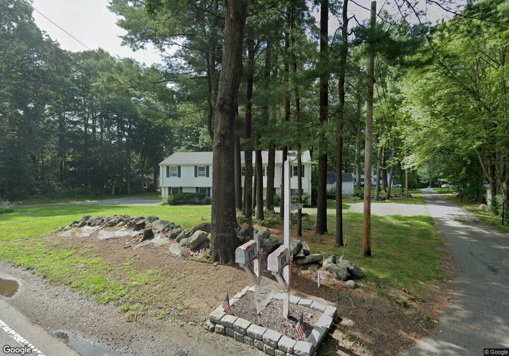
670 East St Tewksbury, MA 01876
Estimated Value: $687,000 - $801,000
3
Beds
3
Baths
1,456
Sq Ft
$504/Sq Ft
Est. Value
About This Home
This home is located at 670 East St, Tewksbury, MA 01876 and is currently estimated at $734,396, approximately $504 per square foot. 670 East St is a home located in Middlesex County with nearby schools including John F. Ryan Elementary School, John W. Wynn Middle School, and Tewksbury Memorial High School.
Create a Home Valuation Report for This Property
The Home Valuation Report is an in-depth analysis detailing your home's value as well as a comparison with similar homes in the area
Home Values in the Area
Average Home Value in this Area
Tax History Compared to Growth
Tax History
| Year | Tax Paid | Tax Assessment Tax Assessment Total Assessment is a certain percentage of the fair market value that is determined by local assessors to be the total taxable value of land and additions on the property. | Land | Improvement |
|---|---|---|---|---|
| 2025 | $8,060 | $609,700 | $296,100 | $313,600 |
| 2024 | $7,747 | $578,600 | $282,200 | $296,400 |
| 2023 | $7,532 | $534,200 | $256,700 | $277,500 |
| 2022 | $7,117 | $468,200 | $223,100 | $245,100 |
| 2021 | $21,657 | $434,700 | $202,900 | $231,800 |
| 2020 | $6,711 | $420,200 | $193,100 | $227,100 |
| 2019 | $14,585 | $373,800 | $183,700 | $190,100 |
| 2018 | $13,790 | $356,000 | $183,700 | $172,300 |
| 2017 | $12,934 | $337,500 | $183,700 | $153,800 |
| 2016 | $5,391 | $329,700 | $183,700 | $146,000 |
| 2015 | $5,168 | $315,700 | $178,100 | $137,600 |
| 2014 | $4,886 | $303,300 | $178,100 | $125,200 |
Source: Public Records
Map
Nearby Homes
- 110 Royal Crest Cir
- 5 Kensington Way Unit 5
- 51 Nolan Ct Unit 51
- 837 Livingston St
- 109 Apache Way
- 71 Apache Way Unit 71
- 120 Judique Rd
- 261 Apache Way
- 93 Vale St
- 69 Blanchard St
- 111 Patrick Rd Unit 111
- 61 Patrick Rd
- 58 Blanchard St
- 142 Patrick Rd
- 11 Orchard St
- 13 Berkeley
- 127 Caddy Ct
- 107 Eagle Dr Unit 107
- 93 Fairway Dr
- 1334 Main St
- 680 East St
- 3 Karen Lee Ln
- 665 East St
- 669 East St
- 674 East St
- 675 East St
- 690 East St
- 676 East St
- 4 Karen Lee Ln
- 693 East St
- 22 Karen Lee Ln
- 692 East St
- 39 Karen Lee Ln
- 715 East St
- 755 East St
- 9 Hampton Cir
- 16 Yorkshire Dr Unit 72
- 14 Yorkshire Dr Unit 71
- 16 Yorkshire Dr Unit 16
- 11 Hampton Cir Unit 11