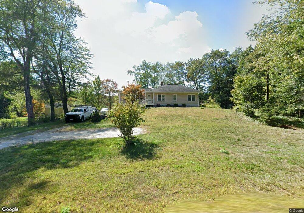
670 Main St Dunstable, MA 01827
Estimated Value: $609,737 - $713,000
3
Beds
1
Bath
1,664
Sq Ft
$406/Sq Ft
Est. Value
About This Home
This home is located at 670 Main St, Dunstable, MA 01827 and is currently estimated at $675,434, approximately $405 per square foot. 670 Main St is a home located in Middlesex County with nearby schools including Groton Dunstable Regional High School and 2nd Nature Academy.
Create a Home Valuation Report for This Property
The Home Valuation Report is an in-depth analysis detailing your home's value as well as a comparison with similar homes in the area
Home Values in the Area
Average Home Value in this Area
Tax History Compared to Growth
Tax History
| Year | Tax Paid | Tax Assessment Tax Assessment Total Assessment is a certain percentage of the fair market value that is determined by local assessors to be the total taxable value of land and additions on the property. | Land | Improvement |
|---|---|---|---|---|
| 2025 | $7,128 | $518,400 | $239,000 | $279,400 |
| 2024 | $6,752 | $483,700 | $216,700 | $267,000 |
| 2023 | $6,964 | $465,200 | $216,700 | $248,500 |
| 2022 | $6,812 | $446,700 | $216,700 | $230,000 |
| 2021 | $6,059 | $369,200 | $197,400 | $171,800 |
| 2020 | $5,990 | $355,700 | $197,400 | $158,300 |
| 2019 | $5,754 | $337,300 | $197,400 | $139,900 |
| 2018 | $5,678 | $323,700 | $194,400 | $129,300 |
| 2017 | $5,411 | $317,900 | $194,400 | $123,500 |
| 2016 | $5,127 | $309,800 | $186,200 | $123,600 |
| 2015 | $4,614 | $275,800 | $158,500 | $117,300 |
| 2014 | $4,349 | $275,800 | $158,500 | $117,300 |
Source: Public Records
Map
Nearby Homes
- 319 Pleasant St
- 153 Off Pond St
- 0 Lowell St
- 91 Century Way
- 41 Pinebrook Rd
- 446 Westford St
- 5 Doucet Ave
- 3 Doucet Ave Unit The Cub
- 1 Doucet Ave
- 63 Wilderness Dr Unit Derby 2
- 58 Wilderness Dr
- 2 Wilderness Dr
- 50 Wilderness Dr
- 1 Wilderness Dr
- 4 Wilderness Dr
- 79 Wilderness Dr
- 65 Wilderness Dr
- 7 Wilderness Dr
- 3 Wilderness Dr
- 6 Wilderness Dr