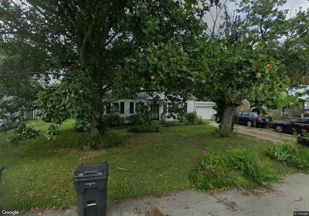
670 Maplecrest Dr Whiteland, IN 46184
Estimated Value: $228,706 - $266,000
4
Beds
1
Bath
1,464
Sq Ft
$166/Sq Ft
Est. Value
About This Home
This home is located at 670 Maplecrest Dr, Whiteland, IN 46184 and is currently estimated at $242,427, approximately $165 per square foot. 670 Maplecrest Dr is a home located in Johnson County with nearby schools including Whiteland Elementary School, Clark-Pleasant Middle School, and Whiteland Community High School.
Ownership History
Date
Name
Owned For
Owner Type
Purchase Details
Closed on
Nov 30, 2004
Sold by
Miller Roger D and Miller Linda K
Bought by
Porter Ruby R
Current Estimated Value
Home Financials for this Owner
Home Financials are based on the most recent Mortgage that was taken out on this home.
Original Mortgage
$79,050
Outstanding Balance
$44,450
Interest Rate
7.62%
Mortgage Type
Adjustable Rate Mortgage/ARM
Estimated Equity
$197,977
Create a Home Valuation Report for This Property
The Home Valuation Report is an in-depth analysis detailing your home's value as well as a comparison with similar homes in the area
Home Values in the Area
Average Home Value in this Area
Purchase History
| Date | Buyer | Sale Price | Title Company |
|---|---|---|---|
| Porter Ruby R | -- | Brentwood Title Services Llc |
Source: Public Records
Mortgage History
| Date | Status | Borrower | Loan Amount |
|---|---|---|---|
| Open | Porter Ruby R | $79,050 |
Source: Public Records
Tax History Compared to Growth
Tax History
| Year | Tax Paid | Tax Assessment Tax Assessment Total Assessment is a certain percentage of the fair market value that is determined by local assessors to be the total taxable value of land and additions on the property. | Land | Improvement |
|---|---|---|---|---|
| 2025 | $1,643 | $212,200 | $42,000 | $170,200 |
| 2024 | $1,643 | $169,700 | $42,000 | $127,700 |
| 2023 | $1,593 | $162,600 | $42,000 | $120,600 |
| 2022 | $1,566 | $150,600 | $35,000 | $115,600 |
| 2021 | $1,381 | $132,500 | $35,000 | $97,500 |
| 2020 | $932 | $101,100 | $22,200 | $78,900 |
| 2019 | $818 | $93,500 | $16,900 | $76,600 |
| 2018 | $821 | $92,200 | $14,300 | $77,900 |
| 2017 | $812 | $91,400 | $14,300 | $77,100 |
| 2016 | $646 | $82,800 | $14,300 | $68,500 |
| 2014 | $520 | $68,500 | $7,600 | $60,900 |
| 2013 | $520 | $70,000 | $7,600 | $62,400 |
Source: Public Records
Map
Nearby Homes
- 400 S U S Highway 31
- 10 Thurman Dr
- 657 Whiteland Rd
- 545 Whiteland Rd
- 229 Arlington St
- 320 Briar Hill Dr
- 409 Parkway St
- 389 Parkway St
- 79 Gnarled Oak Ln
- Aruba Bay Plan at Briar Creek - Ranches
- Grand Bahama Plan at Briar Creek - Ranches
- Dominica Spring Plan at Briar Creek - Ranches
- Grand Cayman Plan at Briar Creek - Ranches
- Hudson with 3-Car Garage Plan at Briar Creek - Estates
- Columbia with 3-Car Garage Plan at Briar Creek - Estates
- 213 Mcnair Rd
- Lehigh with 3-Car Garage Plan at Briar Creek - Estates
- 338 Mcnair Rd
- 180 Briar Hill Dr
- 62 Wild Turkey Run
- 660 Maplecrest Dr
- 680 Maplecrest Dr
- 679 Woodruff St
- 669 Woodruff St
- 689 Woodruff St
- 650 Maplecrest Dr
- 659 Woodruff St
- 8 N Us Highway 31
- 640 Maplecrest Dr
- 29 Thurman Dr
- 649 Woodruff St
- 660 Woodruff St
- 19 Thurman Dr
- 656 Woodruff St
- 670 Woodruff St
- 650 Woodruff St
- 680 Woodruff St
- 630 Maplecrest Dr
- 639 Woodruff St
- 9 Thurman Dr