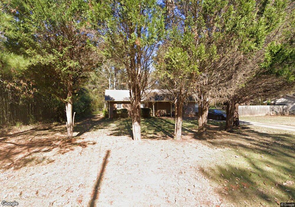
670 Mills Dr Unit 4 Covington, GA 30016
Estimated Value: $204,184 - $256,000
--
Bed
1
Bath
1,383
Sq Ft
$169/Sq Ft
Est. Value
About This Home
This home is located at 670 Mills Dr Unit 4, Covington, GA 30016 and is currently estimated at $233,796, approximately $169 per square foot. 670 Mills Dr Unit 4 is a home located in Newton County with nearby schools including South Salem Elementary School, Liberty Middle School, and Alcovy High School.
Ownership History
Date
Name
Owned For
Owner Type
Purchase Details
Closed on
Jun 25, 2008
Sold by
Green Robert L
Bought by
Green Robert L and Copeland Patricia
Current Estimated Value
Home Financials for this Owner
Home Financials are based on the most recent Mortgage that was taken out on this home.
Original Mortgage
$137,228
Outstanding Balance
$88,035
Interest Rate
5.96%
Mortgage Type
FHA
Estimated Equity
$145,761
Purchase Details
Closed on
Sep 29, 1999
Sold by
Green Robert L
Bought by
Green Robert L and Green Rose M
Home Financials for this Owner
Home Financials are based on the most recent Mortgage that was taken out on this home.
Original Mortgage
$89,264
Interest Rate
7.91%
Mortgage Type
FHA
Create a Home Valuation Report for This Property
The Home Valuation Report is an in-depth analysis detailing your home's value as well as a comparison with similar homes in the area
Home Values in the Area
Average Home Value in this Area
Purchase History
| Date | Buyer | Sale Price | Title Company |
|---|---|---|---|
| Green Robert L | -- | -- | |
| Green Robert L | -- | -- | |
| Green Robert L | -- | -- | |
| Green Robert L | $89,600 | -- |
Source: Public Records
Mortgage History
| Date | Status | Borrower | Loan Amount |
|---|---|---|---|
| Open | Green Robert L | $137,228 | |
| Previous Owner | Green Robert L | $89,264 |
Source: Public Records
Tax History Compared to Growth
Tax History
| Year | Tax Paid | Tax Assessment Tax Assessment Total Assessment is a certain percentage of the fair market value that is determined by local assessors to be the total taxable value of land and additions on the property. | Land | Improvement |
|---|---|---|---|---|
| 2024 | $1,234 | $90,280 | $12,800 | $77,480 |
| 2023 | $1,372 | $79,560 | $6,000 | $73,560 |
| 2022 | $1,009 | $66,200 | $6,000 | $60,200 |
| 2021 | $423 | $43,080 | $4,200 | $38,880 |
| 2020 | $25 | $27,960 | $4,200 | $23,760 |
| 2019 | $25 | $28,080 | $4,200 | $23,880 |
| 2018 | $24 | $27,040 | $4,200 | $22,840 |
| 2017 | $24 | $26,960 | $4,200 | $22,760 |
| 2016 | $23 | $25,640 | $3,800 | $21,840 |
| 2015 | $722 | $24,920 | $3,600 | $21,320 |
| 2014 | $432 | $16,480 | $0 | $0 |
Source: Public Records
Map
Nearby Homes
- 25 Woodcrest Dr
- 800 Mills Dr
- 115 Cross Creek Dr
- 70 Countryside Ln
- 134 St Annes Place
- 149 St Annes Place
- 145 St Annes Place
- 128 St Annes Place
- 139 Saint Anne's Place
- 155 St Annes Place
- 135 Woodcrest Dr
- 445 Brickstone Way
- 40 Brickstone Pkwy
- 410 Brickstone Way
- Radcliffe Plan at Westminster
- Horizon Plan at Westminster
- Zoey II Plan at Westminster