670 Powers Ferry North SE Unit 7 Marietta, GA 30067
Powers Park NeighborhoodEstimated Value: $247,690 - $255,000
2
Beds
3
Baths
1,416
Sq Ft
$178/Sq Ft
Est. Value
About This Home
This home is located at 670 Powers Ferry North SE Unit 7, Marietta, GA 30067 and is currently estimated at $252,173, approximately $178 per square foot. 670 Powers Ferry North SE Unit 7 is a home located in Cobb County with nearby schools including Sedalia Park Elementary School, East Cobb Middle School, and Wheeler High School.
Ownership History
Date
Name
Owned For
Owner Type
Purchase Details
Closed on
Aug 2, 2010
Sold by
Earns Marianne D
Bought by
Dunn Suzanne L
Current Estimated Value
Home Financials for this Owner
Home Financials are based on the most recent Mortgage that was taken out on this home.
Original Mortgage
$57,832
Interest Rate
4.5%
Mortgage Type
FHA
Purchase Details
Closed on
Sep 12, 2002
Sold by
Hadjimirzaei Kourosh
Bought by
Earns Marianne D
Home Financials for this Owner
Home Financials are based on the most recent Mortgage that was taken out on this home.
Original Mortgage
$110,750
Interest Rate
6.18%
Mortgage Type
FHA
Purchase Details
Closed on
May 28, 2002
Sold by
Hadjimirzaei Kourosh
Bought by
Hadjimirzaei Kourosh
Create a Home Valuation Report for This Property
The Home Valuation Report is an in-depth analysis detailing your home's value as well as a comparison with similar homes in the area
Home Values in the Area
Average Home Value in this Area
Purchase History
| Date | Buyer | Sale Price | Title Company |
|---|---|---|---|
| Dunn Suzanne L | $58,900 | -- | |
| Earns Marianne D | $114,200 | -- | |
| Hadjimirzaei Kourosh | -- | -- |
Source: Public Records
Mortgage History
| Date | Status | Borrower | Loan Amount |
|---|---|---|---|
| Closed | Dunn Suzanne L | $57,832 | |
| Previous Owner | Earns Marianne D | $110,750 |
Source: Public Records
Tax History Compared to Growth
Tax History
| Year | Tax Paid | Tax Assessment Tax Assessment Total Assessment is a certain percentage of the fair market value that is determined by local assessors to be the total taxable value of land and additions on the property. | Land | Improvement |
|---|---|---|---|---|
| 2024 | $368 | $105,268 | $34,000 | $71,268 |
| 2023 | $261 | $105,268 | $34,000 | $71,268 |
| 2022 | $230 | $59,328 | $18,000 | $41,328 |
| 2021 | $230 | $59,328 | $18,000 | $41,328 |
| 2020 | $223 | $56,908 | $7,200 | $49,708 |
| 2019 | $223 | $56,908 | $7,200 | $49,708 |
| 2018 | $173 | $40,136 | $7,200 | $32,936 |
| 2017 | $152 | $35,664 | $7,200 | $28,464 |
| 2016 | $144 | $32,024 | $6,000 | $26,024 |
| 2015 | $141 | $27,988 | $4,000 | $23,988 |
| 2014 | $134 | $25,272 | $0 | $0 |
Source: Public Records
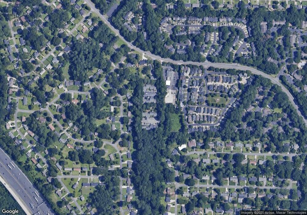
Map
Nearby Homes
- 2330 Trellis Ln SE
- 830 Bonnie Glen Dr SE
- 1051 Oriole Ln SE
- 3155 Woodberry Ln SE
- 2238 Surrey Ct SE
- 651 Inglis Dr SE
- 2514 Sunny Ln SE
- 2339 Engineers Dr SE
- 2490 Freydale Rd SE
- 470 Oriole Dr SE
- 402 Terrydale Dr SE
- 2240 Runnymead Ridge SE
- 708 Hanover Ln SE
- 640 Smithstone Rd SE
- 731 Smithstone Ct SE
- 2059 Clearwater Dr SE
- 738 Brentwood Place SE
- 2471 Cedar Brook W
- 670 Powers Ferry Rd SE
- 662 Powers Ferry Rd
- 720 Gardenside Cir SE
- 722 Gardenside Cir SE
- 724 Gardenside Cir SE
- 718 Gardenside Cir SE
- 726 Gardenside Cir SE Unit 1
- 716 Gardenside Cir SE Unit 1
- 666 Powers Ferry North SE
- 666 Powers Ferry North SE
- 728 Gardenside Cir SE
- 714 Gardenside Cir SE
- 634 Powers Ferry North SE Unit 634
- 624 Powers Ferry North SE Unit 4
- 634 Powers Ferry North SE Unit 634
- 630 Powers Ferry North SE
- 634 Powers Ferry Rd
- 634 Powers Ferry North SE
- 630 Powers Ferry North SE Unit 27
- 624 Powers Ferry North SE