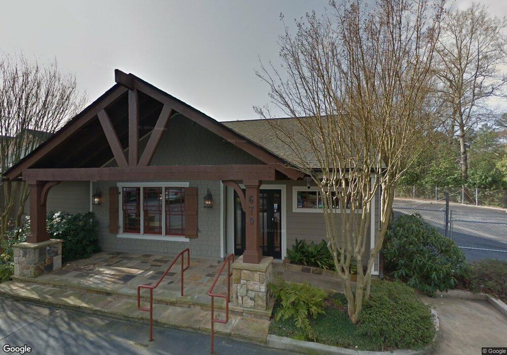
670 Powers Ferry Rd SE Marietta, GA 30067
Powers Park Neighborhood
2
Beds
3
Baths
1,416
Sq Ft
1.85
Acres
About This Home
This home is located at 670 Powers Ferry Rd SE, Marietta, GA 30067. 670 Powers Ferry Rd SE is a home located in Cobb County with nearby schools including Sedalia Park Elementary School, East Cobb Middle School, and Wheeler High School.
Ownership History
Date
Name
Owned For
Owner Type
Purchase Details
Closed on
Dec 3, 2024
Sold by
Phillips Stephen M
Bought by
Phillips East Cobb Llc
Purchase Details
Closed on
Aug 5, 2011
Sold by
Future Green
Bought by
Phillips Stephen M
Purchase Details
Closed on
May 28, 2002
Sold by
Bates Robert M
Bought by
Hadjimirzaei Kourosh
Home Financials for this Owner
Home Financials are based on the most recent Mortgage that was taken out on this home.
Original Mortgage
$82,620
Interest Rate
6.92%
Mortgage Type
Commercial
Create a Home Valuation Report for This Property
The Home Valuation Report is an in-depth analysis detailing your home's value as well as a comparison with similar homes in the area
Home Values in the Area
Average Home Value in this Area
Purchase History
| Date | Buyer | Sale Price | Title Company |
|---|---|---|---|
| Phillips East Cobb Llc | -- | None Listed On Document | |
| Phillips East Cobb Llc | -- | None Listed On Document | |
| Phillips Stephen M | $800,000 | -- | |
| Hadjimirzaei Kourosh | $91,800 | -- |
Source: Public Records
Mortgage History
| Date | Status | Borrower | Loan Amount |
|---|---|---|---|
| Previous Owner | Hadjimirzaei Kourosh | $82,620 |
Source: Public Records
Tax History Compared to Growth
Tax History
| Year | Tax Paid | Tax Assessment Tax Assessment Total Assessment is a certain percentage of the fair market value that is determined by local assessors to be the total taxable value of land and additions on the property. | Land | Improvement |
|---|---|---|---|---|
| 2025 | $10,994 | $364,900 | $251,740 | $113,160 |
| 2024 | $11,002 | $364,900 | $251,740 | $113,160 |
| 2023 | $12,676 | $420,440 | $251,740 | $168,700 |
| 2022 | $11,307 | $372,560 | $232,372 | $140,188 |
| 2021 | $11,280 | $371,652 | $232,372 | $139,280 |
| 2020 | $11,280 | $371,652 | $232,372 | $139,280 |
| 2019 | $10,850 | $357,492 | $232,372 | $125,120 |
| 2018 | $10,850 | $357,492 | $232,372 | $125,120 |
| 2017 | $10,278 | $357,492 | $232,372 | $125,120 |
| 2016 | $8,969 | $311,964 | $193,644 | $118,320 |
| 2015 | $9,190 | $311,964 | $193,644 | $118,320 |
Source: Public Records
Map
Nearby Homes
- 2330 Trellis Ln SE
- 789 Gardenside Cir SE
- 830 Bonnie Glen Dr SE
- 2409 Powers Ferry Dr SE
- 1051 Oriole Ln SE
- 558 Lullingstone Dr SE
- 2238 Surrey Ct SE
- 2160 Palmyra Dr SE
- 489 Little Rd SE
- 2223 Runnymead Ridge SE
- 2240 Runnymead Ridge SE
- 2514 Sunny Ln SE
- 708 Hanover Ln SE
- 2182 Freydale Rd SE
- 2490 Freydale Rd SE
- 2471 Cedar Brook W
- 2484 Cedar Canyon Rd SE
- 567 Boyds Dr SE
- 2497 Cedar Canyon Place SE
- 61 Holt Rd NE
- 670 Powers Ferry North SE Unit 7
- 662 Powers Ferry Rd
- 720 Gardenside Cir SE
- 722 Gardenside Cir SE
- 724 Gardenside Cir SE
- 716 Gardenside Cir SE Unit 1
- 718 Gardenside Cir SE
- 666 Powers Ferry North SE
- 666 Powers Ferry North SE
- 726 Gardenside Cir SE Unit 1
- 714 Gardenside Cir SE
- 728 Gardenside Cir SE
- 620 Powers Ferry North SE
- 634 Powers Ferry North SE Unit 634
- 624 Powers Ferry North SE Unit 4
- 634 Powers Ferry North SE Unit 634
- 630 Powers Ferry North SE
- 634 Powers Ferry Rd
- 634 Powers Ferry North SE
- 630 Powers Ferry North SE Unit 27