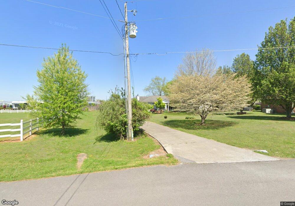
670 Spike Trail Murfreesboro, TN 37129
Estimated Value: $314,000 - $321,040
--
Bed
2
Baths
1,340
Sq Ft
$237/Sq Ft
Est. Value
About This Home
This home is located at 670 Spike Trail, Murfreesboro, TN 37129 and is currently estimated at $317,510, approximately $236 per square foot. 670 Spike Trail is a home located in Rutherford County with nearby schools including Blackman Elementary School, Blackman Middle School, and Blackman High School.
Ownership History
Date
Name
Owned For
Owner Type
Purchase Details
Closed on
May 21, 2025
Sold by
Le Thanh C
Bought by
Santos Michelle
Current Estimated Value
Purchase Details
Closed on
Apr 2, 2003
Sold by
Wagner and Barbara
Bought by
Le Thanh C
Home Financials for this Owner
Home Financials are based on the most recent Mortgage that was taken out on this home.
Original Mortgage
$91,200
Interest Rate
5.74%
Purchase Details
Closed on
Jan 31, 2002
Sold by
Lowery and Dennie
Bought by
Wagner Kenneth W and Wagner Barbara
Create a Home Valuation Report for This Property
The Home Valuation Report is an in-depth analysis detailing your home's value as well as a comparison with similar homes in the area
Home Values in the Area
Average Home Value in this Area
Purchase History
| Date | Buyer | Sale Price | Title Company |
|---|---|---|---|
| Santos Michelle | $312,000 | Biltmore Title | |
| Le Thanh C | $114,000 | -- | |
| Wagner Kenneth W | $106,900 | -- |
Source: Public Records
Mortgage History
| Date | Status | Borrower | Loan Amount |
|---|---|---|---|
| Previous Owner | Wagner Kenneth W | $91,200 | |
| Previous Owner | Wagner Kenneth W | $11,400 |
Source: Public Records
Tax History Compared to Growth
Tax History
| Year | Tax Paid | Tax Assessment Tax Assessment Total Assessment is a certain percentage of the fair market value that is determined by local assessors to be the total taxable value of land and additions on the property. | Land | Improvement |
|---|---|---|---|---|
| 2025 | $1,242 | $66,175 | $13,750 | $52,425 |
| 2024 | $1,242 | $66,175 | $13,750 | $52,425 |
| 2023 | $1,242 | $66,175 | $13,750 | $52,425 |
| 2022 | $1,070 | $66,175 | $13,750 | $52,425 |
| 2021 | $1,049 | $47,250 | $9,250 | $38,000 |
| 2020 | $1,049 | $47,250 | $9,250 | $38,000 |
| 2019 | $1,049 | $47,250 | $9,250 | $38,000 |
| 2018 | $992 | $47,250 | $0 | $0 |
| 2017 | $882 | $32,900 | $0 | $0 |
| 2016 | $882 | $32,900 | $0 | $0 |
| 2015 | $882 | $32,900 | $0 | $0 |
| 2014 | $818 | $32,900 | $0 | $0 |
| 2013 | -- | $28,775 | $0 | $0 |
Source: Public Records
Map
Nearby Homes
- 621 Buck Ln
- 3750 Chippewa Place
- 1036 Wolves Den Place
- 1022 Sitting Bull Crossing
- 3718 Red Willow Ct
- 3726 Selina Dr
- 1028 Shaman Crossing
- 928 Sitting Bull Crossing
- 924 Sitting Bull Crossing
- 913 Battleview Place
- 3927 Cannonsgate Ln
- 4010 Cannonsgate Ln
- 3741 Southbend Dr
- 2842 Grange Place
- 478 Deerfield Dr
- 917 Round Dr
- 2747 Brookrun Rd
- 920 Manson Crossing Dr
- 929 Manson Crossing Dr
- 411 Campfire Dr
- 664 Spike Trail
- 660 Spike Trail
- 701 Spike Trail
- 663 Spike Trail
- 696 Spike Trail
- 707 Spike Trail
- 658 Spike Trail
- 653 Spike Trail
- 713 Spike Trail
- 793 Rack Ct
- 621 Doe Dr
- 645 Spike Trail
- 705 Spike Trail
- 777 Rack Ct
- 960 John Rice Blvd Unit 72
- 719 Spike Trail
- 720 Spike Trail
- 712 Spike Trail
- 773 Rack Ct
- 631 Doe Dr