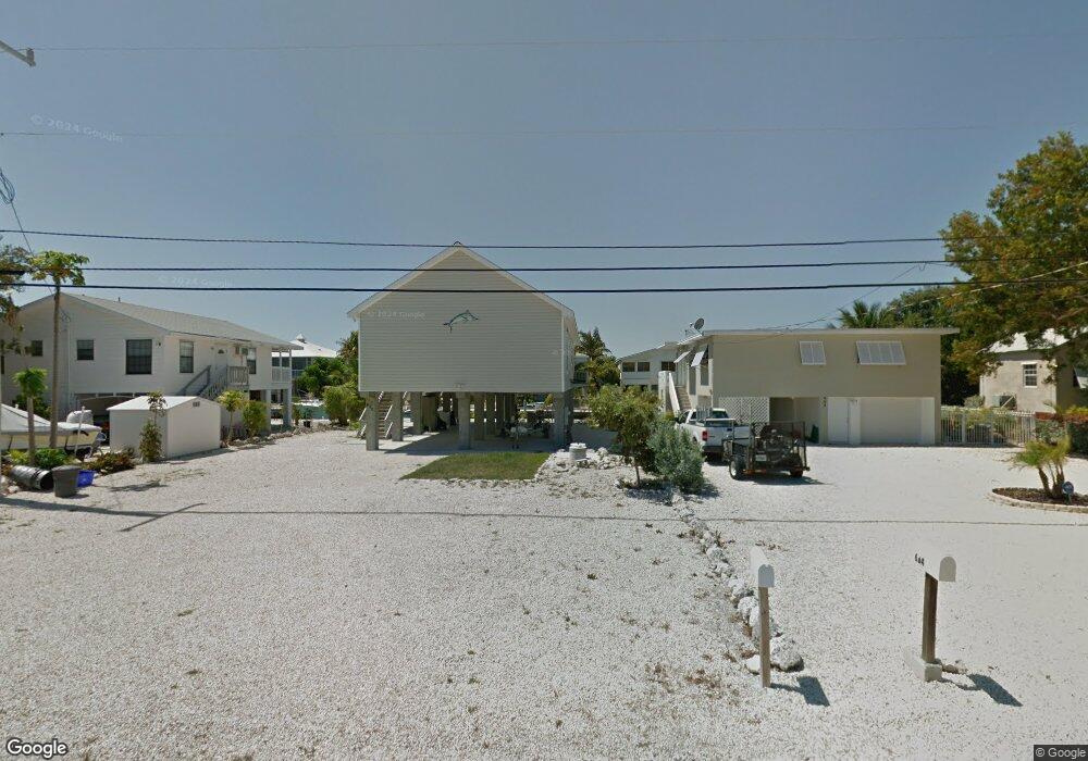
670 W Shore Dr Summerland Key, FL 33042
Estimated Value: $973,173 - $1,171,000
--
Bed
1
Bath
1,232
Sq Ft
$872/Sq Ft
Est. Value
About This Home
This home is located at 670 W Shore Dr, Summerland Key, FL 33042 and is currently estimated at $1,074,793, approximately $872 per square foot. 670 W Shore Dr is a home located in Monroe County with nearby schools including Sugarloaf School and Key West High School.
Ownership History
Date
Name
Owned For
Owner Type
Purchase Details
Closed on
Sep 10, 2009
Sold by
Mitchell Kenneth and Assad Patrick G
Bought by
Gocher James E and Gocher Susan E
Current Estimated Value
Purchase Details
Closed on
Mar 28, 2006
Sold by
Mitchell Ken
Bought by
Mitchell Kenneth and Assad Patrick G
Purchase Details
Closed on
May 18, 2001
Bought by
Gocher James E and Gocher Susan E
Purchase Details
Closed on
Jun 1, 1992
Bought by
Gocher James E and Gocher Susan E
Purchase Details
Closed on
Feb 1, 1970
Bought by
Gocher James E and Gocher Susan E
Create a Home Valuation Report for This Property
The Home Valuation Report is an in-depth analysis detailing your home's value as well as a comparison with similar homes in the area
Home Values in the Area
Average Home Value in this Area
Purchase History
| Date | Buyer | Sale Price | Title Company |
|---|---|---|---|
| Gocher James E | $160,000 | True Title Agency Inc | |
| Mitchell Kenneth | $48,000 | Attorney | |
| Gocher James E | $60,000 | -- | |
| Gocher James E | $35,000 | -- | |
| Gocher James E | $3,000 | -- |
Source: Public Records
Tax History Compared to Growth
Tax History
| Year | Tax Paid | Tax Assessment Tax Assessment Total Assessment is a certain percentage of the fair market value that is determined by local assessors to be the total taxable value of land and additions on the property. | Land | Improvement |
|---|---|---|---|---|
| 2024 | $5,896 | $859,430 | $606,000 | $253,430 |
| 2023 | $5,896 | $885,140 | $643,875 | $241,265 |
| 2022 | $4,842 | $607,827 | $363,600 | $244,227 |
| 2021 | $4,308 | $427,096 | $209,070 | $218,026 |
| 2020 | $4,140 | $405,002 | $203,010 | $201,992 |
| 2019 | $4,121 | $401,550 | $196,950 | $204,600 |
| 2018 | $4,225 | $402,195 | $198,465 | $203,730 |
| 2017 | $3,838 | $364,805 | $0 | $0 |
| 2016 | $3,716 | $341,408 | $0 | $0 |
| 2015 | $3,934 | $351,586 | $0 | $0 |
| 2014 | $3,747 | $316,388 | $0 | $0 |
Source: Public Records
Map
Nearby Homes
- 554 W Shore Dr
- 937 Gulf Dr
- 948 Gulf Dr
- 466 W Shore Dr
- 1082 Bay Dr
- 876 Gulf Dr
- 951 Lagoon Dr
- 835 Gulf Dr
- 815 E Shore Dr
- 1147 Flagship Dr
- 860 Lagoon Dr
- 680 Cruikshank Island
- 655 E Shore Dr
- 974 Flagship Dr
- 25057 7th St
- 25368 2nd St
- 231 E Shore Dr Unit 7
- 231 E Shore Dr Unit 6
- 231 E Shore Dr Unit 4
- 231 E Shore Dr Unit 2
- 664 W Shore Dr
- 686 W Shore Dr
- 718 W Shore Dr
- 656 W Shore Dr
- 1061 Caribbean Dr E
- 1051 Caribbean Dr E
- 1071 Caribbean Dr E
- 728 W Shore Dr
- 1041 E Caribbean Dr
- LOT # E Caribbean Dr
- 1041 Caribbean Dr
- 1081 Caribbean Dr E
- 636 W Shore Dr
- 665 W Shore Dr
- 1031 Caribbean Dr E
- 738 W Shore Dr
- 1113 Caribbean Dr E
- 645 W Shore Dr
- 626 W Shore Dr
- 748 W Shore Dr