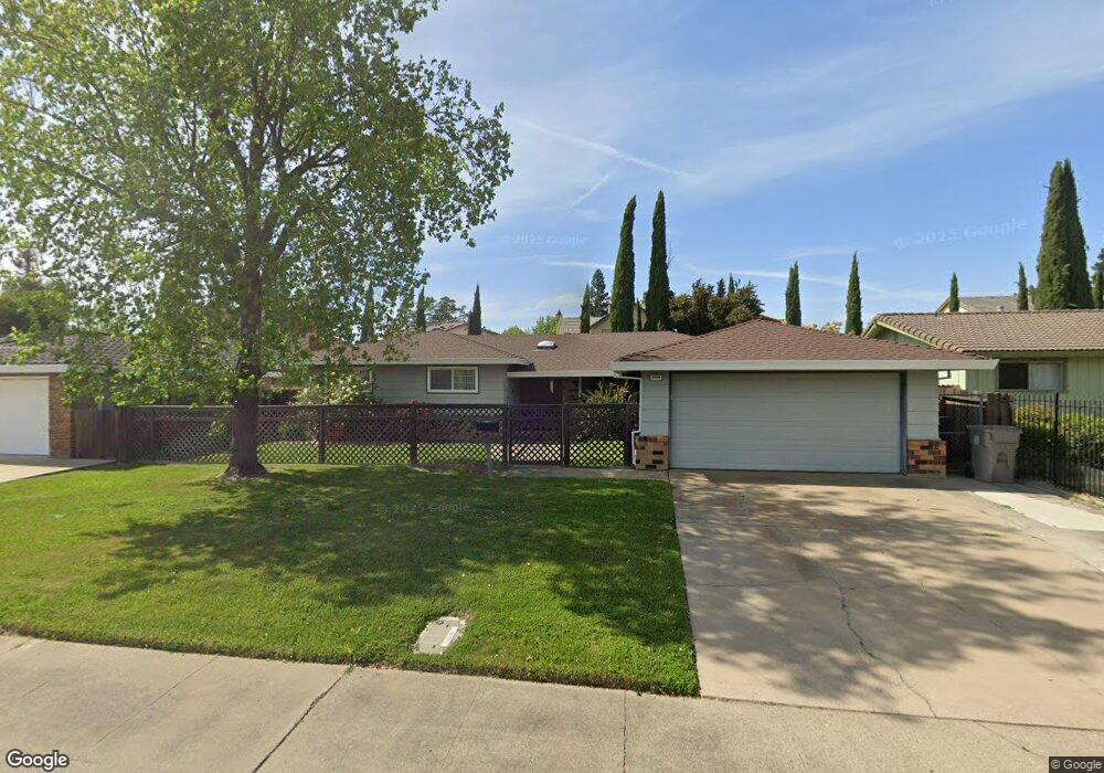
6700 Spurlock Way Sacramento, CA 95831
Pocket-Greenhaven NeighborhoodEstimated Value: $647,623 - $730,000
4
Beds
3
Baths
1,935
Sq Ft
$355/Sq Ft
Est. Value
About This Home
This home is located at 6700 Spurlock Way, Sacramento, CA 95831 and is currently estimated at $687,406, approximately $355 per square foot. 6700 Spurlock Way is a home located in Sacramento County with nearby schools including Genevieve Didion School, Sam Brannan Middle School, and John F. Kennedy High School.
Ownership History
Date
Name
Owned For
Owner Type
Purchase Details
Closed on
Jul 16, 2019
Sold by
Forrester Steven A and Forrester Helena D
Bought by
Forrester Steven A and Forrester Helena D
Current Estimated Value
Purchase Details
Closed on
Jun 15, 1998
Sold by
Forrester Steven A
Bought by
Forrester Steven A and Forrester Helena D
Home Financials for this Owner
Home Financials are based on the most recent Mortgage that was taken out on this home.
Original Mortgage
$155,800
Outstanding Balance
$31,331
Interest Rate
7.11%
Estimated Equity
$656,075
Create a Home Valuation Report for This Property
The Home Valuation Report is an in-depth analysis detailing your home's value as well as a comparison with similar homes in the area
Home Values in the Area
Average Home Value in this Area
Purchase History
| Date | Buyer | Sale Price | Title Company |
|---|---|---|---|
| Forrester Steven A | -- | None Available | |
| Forrester Steven A | -- | Financial Title Company | |
| Forrester Steven A | -- | Financial Title Company | |
| Forrester Steven A | $164,000 | Financial Title Company |
Source: Public Records
Mortgage History
| Date | Status | Borrower | Loan Amount |
|---|---|---|---|
| Open | Forrester Steven A | $155,800 |
Source: Public Records
Tax History Compared to Growth
Tax History
| Year | Tax Paid | Tax Assessment Tax Assessment Total Assessment is a certain percentage of the fair market value that is determined by local assessors to be the total taxable value of land and additions on the property. | Land | Improvement |
|---|---|---|---|---|
| 2025 | $3,383 | $261,841 | $95,790 | $166,051 |
| 2024 | $3,383 | $256,708 | $93,912 | $162,796 |
| 2023 | $3,298 | $251,675 | $92,071 | $159,604 |
| 2022 | $3,257 | $246,741 | $90,266 | $156,475 |
| 2021 | $3,103 | $241,904 | $88,497 | $153,407 |
| 2020 | $3,120 | $239,424 | $87,590 | $151,834 |
| 2019 | $3,055 | $234,730 | $85,873 | $148,857 |
| 2018 | $2,978 | $230,129 | $84,190 | $145,939 |
| 2017 | $2,934 | $225,618 | $82,540 | $143,078 |
| 2016 | $2,833 | $221,195 | $80,922 | $140,273 |
| 2015 | $2,765 | $217,873 | $79,707 | $138,166 |
| 2014 | $2,701 | $213,606 | $78,146 | $135,460 |
Source: Public Records
Map
Nearby Homes
- 6797 Frates Way
- 0 Riverside Blvd
- 6980 Riverside Blvd
- 6810 Arabella Way
- 9 Sandhill Ct
- 487 Twin River Way
- 506 Roundtree Ct
- 5 Dumfries Ct
- 14 Westlite Ct
- 657 Brickyard Dr
- 625 Valim Way
- 6235 Allenport Way
- 792 Parklin Ave
- 763 La Contenta Way
- 37 Starlit Cir
- 420 Seagull Way
- 462 de Mar Dr
- 4 Bingham Cir
- 1052 Johnfer Way
- 7441 Spicewood Dr
- 6706 Spurlock Way
- 6696 Spurlock Way
- 6678 Pocket Rd
- 6674 Pocket Rd
- 6688 Surfside Way
- 6685 Surfside Way
- 6692 Spurlock Way
- 6701 Spurlock Way
- 6735 Park Riviera Way
- 6683 Pocket Rd
- 6670 Pocket Rd
- 6695 Spurlock Way
- 6681 Surfside Way
- 6676 Surfside Way
- 6679 Surfside Way
- 6750 Langrell Way
- 6745 Park Riviera Way
- 6688 Spurlock Way
- 6672 Surfside Way
- 6675 Surfside Way