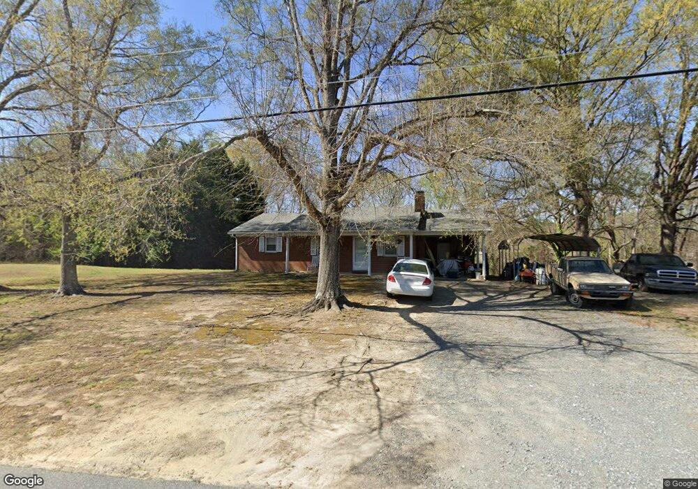
6701 Linwood Dr Clemmons, NC 27012
Estimated Value: $225,000 - $257,848
3
Beds
2
Baths
2,646
Sq Ft
$91/Sq Ft
Est. Value
About This Home
This home is located at 6701 Linwood Dr, Clemmons, NC 27012 and is currently estimated at $241,212, approximately $91 per square foot. 6701 Linwood Dr is a home located in Forsyth County with nearby schools including Frank Morgan Elementary School, Clemmons Middle School, and West Forsyth High.
Ownership History
Date
Name
Owned For
Owner Type
Purchase Details
Closed on
Mar 31, 2000
Sold by
Bonnett Roger N and Bonnett Darla
Bought by
Wood Barry Ray and Wood Christina Lane
Current Estimated Value
Home Financials for this Owner
Home Financials are based on the most recent Mortgage that was taken out on this home.
Original Mortgage
$93,400
Outstanding Balance
$31,859
Interest Rate
8.38%
Mortgage Type
FHA
Estimated Equity
$209,353
Create a Home Valuation Report for This Property
The Home Valuation Report is an in-depth analysis detailing your home's value as well as a comparison with similar homes in the area
Home Values in the Area
Average Home Value in this Area
Purchase History
| Date | Buyer | Sale Price | Title Company |
|---|---|---|---|
| Wood Barry Ray | $93,500 | -- |
Source: Public Records
Mortgage History
| Date | Status | Borrower | Loan Amount |
|---|---|---|---|
| Open | Wood Barry Ray | $93,400 |
Source: Public Records
Tax History Compared to Growth
Tax History
| Year | Tax Paid | Tax Assessment Tax Assessment Total Assessment is a certain percentage of the fair market value that is determined by local assessors to be the total taxable value of land and additions on the property. | Land | Improvement |
|---|---|---|---|---|
| 2025 | $1,320 | $194,500 | $49,500 | $145,000 |
| 2024 | $1,294 | $130,000 | $37,200 | $92,800 |
| 2023 | $1,294 | $130,000 | $37,200 | $92,800 |
| 2022 | $1,294 | $130,000 | $37,200 | $92,800 |
| 2021 | $1,294 | $130,000 | $37,200 | $92,800 |
| 2020 | $1,114 | $113,900 | $31,900 | $82,000 |
| 2019 | $1,126 | $113,900 | $31,900 | $82,000 |
| 2018 | $1,088 | $113,900 | $31,900 | $82,000 |
| 2016 | $1,007 | $104,512 | $30,432 | $74,080 |
| 2015 | $1,007 | $104,512 | $30,432 | $74,080 |
| 2014 | $981 | $104,512 | $30,432 | $74,080 |
Source: Public Records
Map
Nearby Homes
- 975 Boyer Dr
- 2566 Brook Stone Dr
- 816 Newington Dr
- 2512 Newington Ct
- 2732 Knob Hill Dr
- 3606 Townland Cir
- 3600 Townland Cir
- 3619 Townland Cir Unit 26
- 3584 Townland Cir
- 3613 Townland Cir
- 3607 Townland Cir
- 3601 Townland Cir
- 1720 Lower Brook Dr
- Finley Plan at Springfield Village
- Addison Plan at Springfield Village
- 3515 Townland Cir
- 6815 Hanesbrook Cir Unit 304
- 3540 Townland Cir Unit 13
- 3522 Townland Cir
- 3528 Townland Cir
- 6700 Linwood Dr
- 6718 Linwood Dr
- 761 Newington Dr
- 6728 Linwood Dr
- 767 Newington Dr
- 6675 Linwood Dr
- 6738 Linwood Dr
- 995 Boyer Dr
- 985 Boyer Dr
- 965 Boyer Dr
- 955 Boyer Dr
- 2578 Brook Stone Dr
- 6761 Linwood Dr
- 6748 Linwood Dr
- 2572 Brook Stone Dr
- 0 Boyer Dr
- 945 Boyer Dr
- 6731 Brook Stone Ct
- 990 Boyer Dr
- 980 Boyer Dr