6701 Mossy Rock Cir Somerset, CA 95684
Estimated Value: $441,000 - $740,000
2
Beds
2
Baths
1,976
Sq Ft
$279/Sq Ft
Est. Value
About This Home
This home is located at 6701 Mossy Rock Cir, Somerset, CA 95684 and is currently estimated at $550,475, approximately $278 per square foot. 6701 Mossy Rock Cir is a home located in El Dorado County with nearby schools including Union Mine High School.
Ownership History
Date
Name
Owned For
Owner Type
Purchase Details
Closed on
Apr 29, 1998
Sold by
Zangger Urs H
Bought by
Zangger Helen S
Current Estimated Value
Home Financials for this Owner
Home Financials are based on the most recent Mortgage that was taken out on this home.
Original Mortgage
$127,200
Outstanding Balance
$24,357
Interest Rate
6.87%
Estimated Equity
$526,118
Create a Home Valuation Report for This Property
The Home Valuation Report is an in-depth analysis detailing your home's value as well as a comparison with similar homes in the area
Home Values in the Area
Average Home Value in this Area
Purchase History
| Date | Buyer | Sale Price | Title Company |
|---|---|---|---|
| Zangger Helen S | -- | Inter County Title Co | |
| Zangger Helen S | $159,000 | Inter County Title Co |
Source: Public Records
Mortgage History
| Date | Status | Borrower | Loan Amount |
|---|---|---|---|
| Open | Zangger Helen S | $127,200 |
Source: Public Records
Tax History Compared to Growth
Tax History
| Year | Tax Paid | Tax Assessment Tax Assessment Total Assessment is a certain percentage of the fair market value that is determined by local assessors to be the total taxable value of land and additions on the property. | Land | Improvement |
|---|---|---|---|---|
| 2025 | $2,417 | $231,986 | $59,554 | $172,432 |
| 2024 | $2,417 | $227,438 | $58,387 | $169,051 |
| 2023 | $2,369 | $222,980 | $57,243 | $165,737 |
| 2022 | $2,330 | $218,609 | $56,121 | $162,488 |
| 2021 | $2,296 | $214,323 | $55,021 | $159,302 |
| 2020 | $2,266 | $212,126 | $54,457 | $157,669 |
| 2019 | $2,234 | $207,968 | $53,390 | $154,578 |
| 2018 | $2,169 | $203,892 | $52,344 | $151,548 |
| 2017 | $2,132 | $199,895 | $51,318 | $148,577 |
| 2016 | $2,097 | $195,976 | $50,312 | $145,664 |
| 2015 | $2,024 | $193,034 | $49,557 | $143,477 |
| 2014 | $2,024 | $189,254 | $48,587 | $140,667 |
Source: Public Records
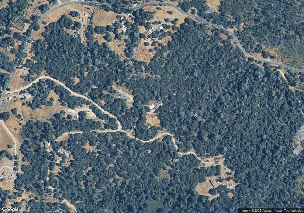
Map
Nearby Homes
- 8120 Rocky Bar Rd
- 6700 Patsy Cline Ln
- 8161 Boondock Trail
- 6294 Gray Rock Rd
- 7152 Fire Pine Ln
- 7040 Idlewild Rd
- 0 Lodestone Rd Unit 225135039
- 8600 Lodestone Rd
- 8074 Perry Creek Rd Unit 31
- 5000 Omo Ranch Rd
- 8054 Fairplay Rd
- 8170 Grizzly Flat Rd
- 6860 Ant Hill Rd
- 7277 Red Ant Rd
- 8205 Grizzly Flat Rd
- 8260 Fairplay Rd
- 7531 Fairplay Rd
- 39 AC Old School House Rd
- 10-Acres Old School House Rd
- 2401 Myrick Rd
- 7581 Silent Path Rd
- 6770 Mossy Rock Cir
- 7621 Silent Path Rd
- 6660 Slug Gulch Rd
- 7650 Silent Path Rd
- 7641 Silent Path Rd
- 6801 Mossy Rock Cir
- 6620 Slug Gulch Rd
- 7640 Silent Path Rd
- 6719 Slug Gulch Rd
- 6661 Slug Gulch Rd
- 6745 Slug Gulch Rd
- 7526 Silent Path Rd
- 6641 Slug Gulch Rd
- 6785 Slug Gulch Rd
- 6518 Slug Gulch Rd
- 6800 Slug Gulch Rd
- 7700 Silent Path Rd
- 6521 Slug Gulch Rd
- 6817 Slug Gulch Rd