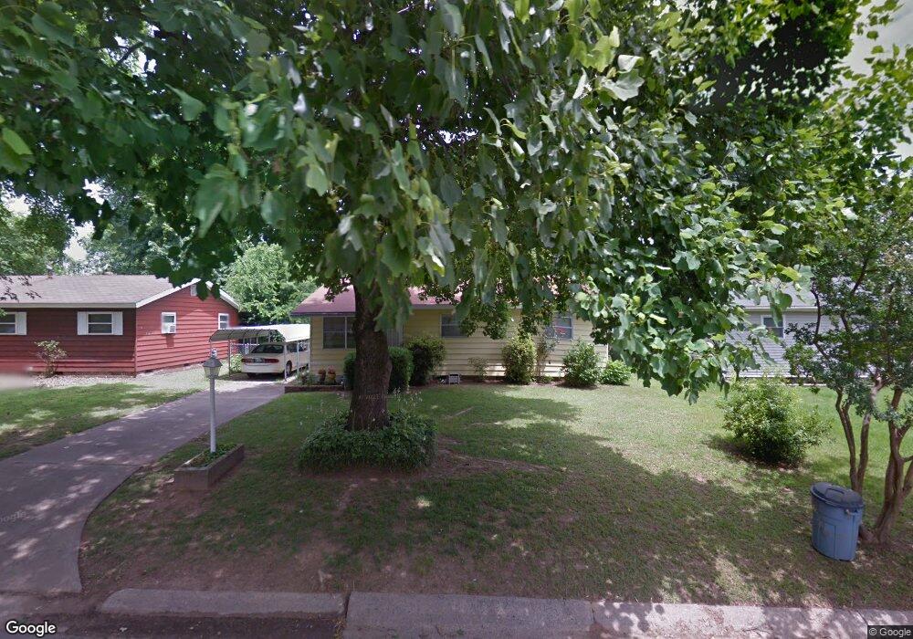
6702 Dove Ln Little Rock, AR 72206
East Little Rock NeighborhoodEstimated Value: $85,929 - $126,000
--
Bed
1
Bath
912
Sq Ft
$118/Sq Ft
Est. Value
About This Home
This home is located at 6702 Dove Ln, Little Rock, AR 72206 and is currently estimated at $107,982, approximately $118 per square foot. 6702 Dove Ln is a home located in Pulaski County with nearby schools including Washington Magnet Elementary School, Pulaski Heights Middle School, and Central High School.
Ownership History
Date
Name
Owned For
Owner Type
Purchase Details
Closed on
Mar 17, 2020
Sold by
White Keisha
Bought by
Glassco Belinda
Current Estimated Value
Purchase Details
Closed on
Mar 27, 2019
Sold by
Henderson Scott
Bought by
White Keisha
Purchase Details
Closed on
Nov 22, 2017
Sold by
Miller Joyce Joann
Bought by
Henderson Scott
Purchase Details
Closed on
Sep 13, 2002
Sold by
Patton Mary R
Bought by
Miller Joyce Joann and Earnhart Mary Gale
Create a Home Valuation Report for This Property
The Home Valuation Report is an in-depth analysis detailing your home's value as well as a comparison with similar homes in the area
Home Values in the Area
Average Home Value in this Area
Purchase History
| Date | Buyer | Sale Price | Title Company |
|---|---|---|---|
| Glassco Belinda | -- | None Available | |
| White Keisha | -- | None Available | |
| Henderson Scott | -- | None Available | |
| Miller Joyce Joann | -- | -- |
Source: Public Records
Tax History Compared to Growth
Tax History
| Year | Tax Paid | Tax Assessment Tax Assessment Total Assessment is a certain percentage of the fair market value that is determined by local assessors to be the total taxable value of land and additions on the property. | Land | Improvement |
|---|---|---|---|---|
| 2025 | $648 | $11,390 | $400 | $10,990 |
| 2024 | $555 | $11,390 | $400 | $10,990 |
| 2023 | $555 | $11,390 | $400 | $10,990 |
| 2022 | $509 | $11,390 | $400 | $10,990 |
| 2021 | $466 | $6,610 | $700 | $5,910 |
| 2020 | $463 | $6,610 | $700 | $5,910 |
| 2019 | $463 | $6,610 | $700 | $5,910 |
| 2018 | $463 | $6,610 | $700 | $5,910 |
| 2017 | $9 | $6,610 | $700 | $5,910 |
| 2016 | $9 | $9,410 | $1,880 | $7,530 |
| 2015 | $359 | $5,127 | $1,880 | $3,247 |
| 2014 | $359 | $5,127 | $1,880 | $3,247 |
Source: Public Records
Map
Nearby Homes
- 6504 Tracy Ave
- 3007 Bermuda Ln
- TBD E Roosevlt Rd
- TBD E 33rd St
- 00 Baucum Pike
- 343 Oro Ct
- 25 Quillen Ave
- 22 Quillen Ave
- 137 Saunders Dr
- 131 Saunders Dr
- 6512 Whippoorwill Ln
- 123 Saunders Dr
- 119 Saunders Dr
- 6613 Pioneer Rd
- 8 Spear Rd
- 111 Saunders Dr
- 204 Healy St
- 11 Neal Place
- 0 E Roosevelt Rd Unit 1253502
- 1 Neal Place