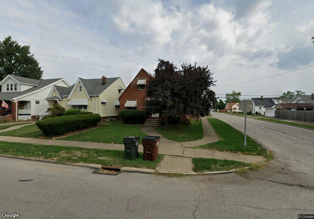
6702 Hampstead Ave Cleveland, OH 44129
Estimated Value: $200,000 - $228,000
3
Beds
1
Bath
1,470
Sq Ft
$148/Sq Ft
Est. Value
About This Home
This home is located at 6702 Hampstead Ave, Cleveland, OH 44129 and is currently estimated at $218,120, approximately $148 per square foot. 6702 Hampstead Ave is a home located in Cuyahoga County with nearby schools including Thoreau Park Elementary School, Shiloh Middle School, and Parma High School.
Ownership History
Date
Name
Owned For
Owner Type
Purchase Details
Closed on
Aug 20, 2021
Sold by
Kniola Keith N
Bought by
Kniola Keith N and Kniola Jacob Robert
Current Estimated Value
Home Financials for this Owner
Home Financials are based on the most recent Mortgage that was taken out on this home.
Original Mortgage
$107,000
Interest Rate
3.45%
Mortgage Type
New Conventional
Purchase Details
Closed on
Jan 10, 1994
Sold by
Belt Donald A
Bought by
Kniola Keith N
Purchase Details
Closed on
Apr 23, 1987
Sold by
Belt Anna C
Bought by
Belt Donald A
Purchase Details
Closed on
Jan 1, 1975
Bought by
Belt Anna C
Create a Home Valuation Report for This Property
The Home Valuation Report is an in-depth analysis detailing your home's value as well as a comparison with similar homes in the area
Home Values in the Area
Average Home Value in this Area
Purchase History
| Date | Buyer | Sale Price | Title Company |
|---|---|---|---|
| Kniola Keith N | -- | Nationallink | |
| Kniola Keith N | $81,500 | -- | |
| Belt Donald A | -- | -- | |
| Belt Anna C | -- | -- |
Source: Public Records
Mortgage History
| Date | Status | Borrower | Loan Amount |
|---|---|---|---|
| Previous Owner | Kniola Keith N | $107,000 |
Source: Public Records
Tax History Compared to Growth
Tax History
| Year | Tax Paid | Tax Assessment Tax Assessment Total Assessment is a certain percentage of the fair market value that is determined by local assessors to be the total taxable value of land and additions on the property. | Land | Improvement |
|---|---|---|---|---|
| 2024 | $3,181 | $61,635 | $10,605 | $51,030 |
| 2023 | $2,484 | $43,300 | $9,380 | $33,920 |
| 2022 | $2,485 | $43,300 | $9,380 | $33,920 |
| 2021 | $3,127 | $43,300 | $9,380 | $33,920 |
| 2020 | $2,736 | $33,290 | $7,210 | $26,080 |
| 2019 | $2,619 | $95,100 | $20,600 | $74,500 |
| 2018 | $2,439 | $33,290 | $7,210 | $26,080 |
| 2017 | $2,406 | $28,210 | $5,600 | $22,610 |
| 2016 | $2,391 | $28,210 | $5,600 | $22,610 |
| 2015 | $2,280 | $28,210 | $5,600 | $22,610 |
| 2014 | $2,280 | $28,780 | $5,710 | $23,070 |
Source: Public Records
Map
Nearby Homes
- 6704 Charles Ave
- 6818 Hampstead Ave
- 6708 Thornton Dr
- 6903 Alber Ave
- 7115 Hampstead Ave
- 7014 Thornton Dr
- 6706 Alber Ave
- 6506 Snow Rd
- 5815 Wilber Ave
- 6021 Snow Rd
- 6610 Renwood Dr
- 7514 Spring Garden Rd
- 6096 Wareham Dr
- 6403 Kenneth Ave
- 6111 Manchester Rd
- 7615 Bertha Ave
- 5603 Allanwood Dr
- 6143 Wareham Dr
- 6306 Gilbert Ave
- 6136 Ridge Rd
- 6706 Hampstead Ave
- 6610 Hampstead Ave
- 6710 Hampstead Ave
- 3283 Wareham Dr
- 6705 Charles Ave
- 6606 Hampstead Ave
- 6709 Charles Ave
- 6609 Charles Ave
- 6715 Charles Ave
- 6718 Hampstead Ave
- 6602 Hampstead Ave
- 6703 Hampstead Ave
- 6719 Charles Ave
- 6605 Charles Ave
- 6611 Hampstead Ave
- 6802 Hampstead Ave
- 6711 Hampstead Ave
- 6514 Hampstead Ave
- 6607 Hampstead Ave
- 6517 Charles Ave