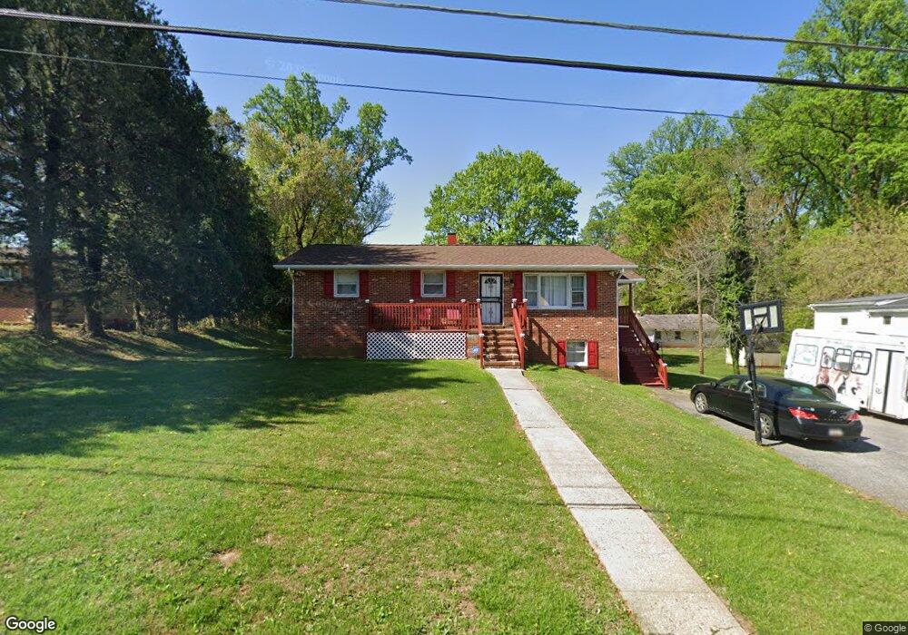
6702 Parsons Ave Baltimore, MD 21215
Estimated Value: $227,000 - $325,000
--
Bed
2
Baths
1,092
Sq Ft
$273/Sq Ft
Est. Value
About This Home
This home is located at 6702 Parsons Ave, Baltimore, MD 21215 and is currently estimated at $298,103, approximately $272 per square foot. 6702 Parsons Ave is a home located in Baltimore County with nearby schools including Wellwood International Elementary, Pikesville Middle School, and Woodlawn High School.
Ownership History
Date
Name
Owned For
Owner Type
Purchase Details
Closed on
Dec 21, 2007
Sold by
Stonesifer Charles C
Bought by
Tate Willie Samuel and Wright Bertha M
Current Estimated Value
Home Financials for this Owner
Home Financials are based on the most recent Mortgage that was taken out on this home.
Original Mortgage
$251,016
Outstanding Balance
$158,883
Interest Rate
6.3%
Mortgage Type
Purchase Money Mortgage
Estimated Equity
$139,220
Purchase Details
Closed on
Dec 10, 2007
Sold by
Stonesifer Charles C
Bought by
Tate Willie Samuel and Wright Bertha M
Home Financials for this Owner
Home Financials are based on the most recent Mortgage that was taken out on this home.
Original Mortgage
$251,016
Outstanding Balance
$158,883
Interest Rate
6.3%
Mortgage Type
Purchase Money Mortgage
Estimated Equity
$139,220
Create a Home Valuation Report for This Property
The Home Valuation Report is an in-depth analysis detailing your home's value as well as a comparison with similar homes in the area
Home Values in the Area
Average Home Value in this Area
Purchase History
| Date | Buyer | Sale Price | Title Company |
|---|---|---|---|
| Tate Willie Samuel | $253,000 | -- | |
| Tate Willie Samuel | $253,000 | -- |
Source: Public Records
Mortgage History
| Date | Status | Borrower | Loan Amount |
|---|---|---|---|
| Open | Tate Willie Samuel | $251,016 | |
| Closed | Tate Willie Samuel | $251,016 |
Source: Public Records
Tax History Compared to Growth
Tax History
| Year | Tax Paid | Tax Assessment Tax Assessment Total Assessment is a certain percentage of the fair market value that is determined by local assessors to be the total taxable value of land and additions on the property. | Land | Improvement |
|---|---|---|---|---|
| 2025 | $3,273 | $210,700 | $54,700 | $156,000 |
| 2024 | $3,273 | $192,667 | $0 | $0 |
| 2023 | $1,542 | $174,633 | $0 | $0 |
| 2022 | $2,791 | $156,600 | $54,700 | $101,900 |
| 2021 | $1,912 | $156,033 | $0 | $0 |
| 2020 | $1,884 | $155,467 | $0 | $0 |
| 2019 | $1,877 | $154,900 | $54,700 | $100,200 |
| 2018 | $2,661 | $153,767 | $0 | $0 |
| 2017 | $11 | $152,633 | $0 | $0 |
| 2016 | $2,173 | $151,500 | $0 | $0 |
| 2015 | $2,173 | $151,500 | $0 | $0 |
| 2014 | $2,173 | $151,500 | $0 | $0 |
Source: Public Records
Map
Nearby Homes
- 6705 Fairmount Ave
- 6603 Fairmount Ave
- 6811 Parsons Ave
- 6509 Parr Ave
- 6615 Laurel Dr
- 3833 Arbutus Ave
- 4348 Danlou Dr
- 3809 Southern Cross Dr
- 7023 Concord Rd
- 3805 Arbutus Ave
- 7004 Alden Rd
- 4108 Fords Ln
- 3716 Sylvan Dr
- 503 Nassau St
- 3724 Oak Ave
- 4209 Lowell Dr
- 3655 Forest Garden Ave
- 6804 Carol Rd
- 3651 Campfield Rd
- 4115 Old Milford Mill Rd
- 6707 Fairmount Ave
- 6710 Parsons Ave
- 6711 Fairmount Ave
- 6700 Parsons Ave
- 6701 Fairmount Ave
- 6704 Fairmount Ave
- 6714 Parsons Ave
- 6706 Fairmount Ave
- 6705 Parsons Ave
- 6703 Parsons Ave
- 6711 Parsons Ave
- 6617 Fairmount Ave
- 6713 Parsons Ave
- 6701 Parsons Ave
- 6620 Parsons Ave
- 6716 Parsons Ave
- 6613 Fairmount Ave
- 6618 Parsons Ave
- 6706 Brighton Ave
- 6705 Mount Vernon Ave