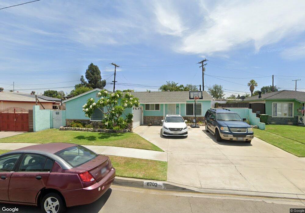
6702 Pioneer Blvd Whittier, CA 90606
West Whittier-Los Nietos NeighborhoodEstimated Value: $735,000 - $776,000
3
Beds
2
Baths
1,080
Sq Ft
$694/Sq Ft
Est. Value
About This Home
This home is located at 6702 Pioneer Blvd, Whittier, CA 90606 and is currently estimated at $749,505, approximately $693 per square foot. 6702 Pioneer Blvd is a home located in Los Angeles County with nearby schools including West Whittier Elementary School, Katherine Edwards Middle School, and Pioneer High School.
Ownership History
Date
Name
Owned For
Owner Type
Purchase Details
Closed on
Oct 19, 2001
Sold by
Legaspi Rosie and Rosie Legaspi Living Trust
Bought by
Moreno Gerald
Current Estimated Value
Home Financials for this Owner
Home Financials are based on the most recent Mortgage that was taken out on this home.
Original Mortgage
$186,966
Interest Rate
6.67%
Mortgage Type
FHA
Purchase Details
Closed on
Jun 7, 1994
Sold by
Legaspi Rosie
Bought by
Legaspi Rosie
Create a Home Valuation Report for This Property
The Home Valuation Report is an in-depth analysis detailing your home's value as well as a comparison with similar homes in the area
Home Values in the Area
Average Home Value in this Area
Purchase History
| Date | Buyer | Sale Price | Title Company |
|---|---|---|---|
| Moreno Gerald | $190,000 | Chicago Title | |
| Legaspi Rosie | -- | -- |
Source: Public Records
Mortgage History
| Date | Status | Borrower | Loan Amount |
|---|---|---|---|
| Previous Owner | Moreno Gerald | $186,966 | |
| Closed | Moreno Gerald | $5,697 |
Source: Public Records
Tax History Compared to Growth
Tax History
| Year | Tax Paid | Tax Assessment Tax Assessment Total Assessment is a certain percentage of the fair market value that is determined by local assessors to be the total taxable value of land and additions on the property. | Land | Improvement |
|---|---|---|---|---|
| 2025 | $3,635 | $280,665 | $200,754 | $79,911 |
| 2024 | $3,635 | $275,163 | $196,818 | $78,345 |
| 2023 | $3,570 | $269,768 | $192,959 | $76,809 |
| 2022 | $3,497 | $264,479 | $189,176 | $75,303 |
| 2021 | $3,424 | $259,294 | $185,467 | $73,827 |
| 2019 | $3,363 | $251,605 | $179,967 | $71,638 |
| 2018 | $3,225 | $246,673 | $176,439 | $70,234 |
| 2016 | $3,092 | $237,096 | $169,589 | $67,507 |
| 2015 | $3,027 | $233,535 | $167,042 | $66,493 |
| 2014 | $2,985 | $228,961 | $163,770 | $65,191 |
Source: Public Records
Map
Nearby Homes
- 6725 Pioneer Blvd
- 6919 Pioneer Blvd
- 10550 Dunlap Crossing Rd Unit 55
- 10704 Balfour St
- 11005 Mines Blvd
- 10825 Loch Avon Dr
- 10943 Loch Lomond Dr
- 9430 Mines Ave
- 11002 Winchell St
- 5903 Redman Ave
- 9409 Loch Avon Dr
- 5328 Lemoran Ave
- 9347 Via Azul
- 9603 Homebrook St
- 9140 Rosehedge Dr
- 11402 Rose Hedge Dr
- 7608 Duchess Dr
- 11409 Bradhurst St
- 5729 Juarez Ave
- 9619 Wampler St
- 6708 Pioneer Blvd
- 6644 Pioneer Blvd
- 10414 Rose Hedge Dr
- 6712 Pioneer Blvd
- 10412 Rose Hedge Dr
- 6638 Pioneer Blvd
- 10420 Rose Hedge Dr
- 6703 Pioneer Blvd
- 6647 Pioneer Blvd
- 6709 Pioneer Blvd
- 6718 Pioneer Blvd
- 10406 Rose Hedge Dr
- 10424 Rose Hedge Dr
- 6641 Pioneer Blvd
- 6715 Pioneer Blvd
- 6632 Pioneer Blvd
- 10309 Bradhurst St
- 10402 Rose Hedge Dr
- 10305 Bradhurst St
- 6719 Pioneer Blvd