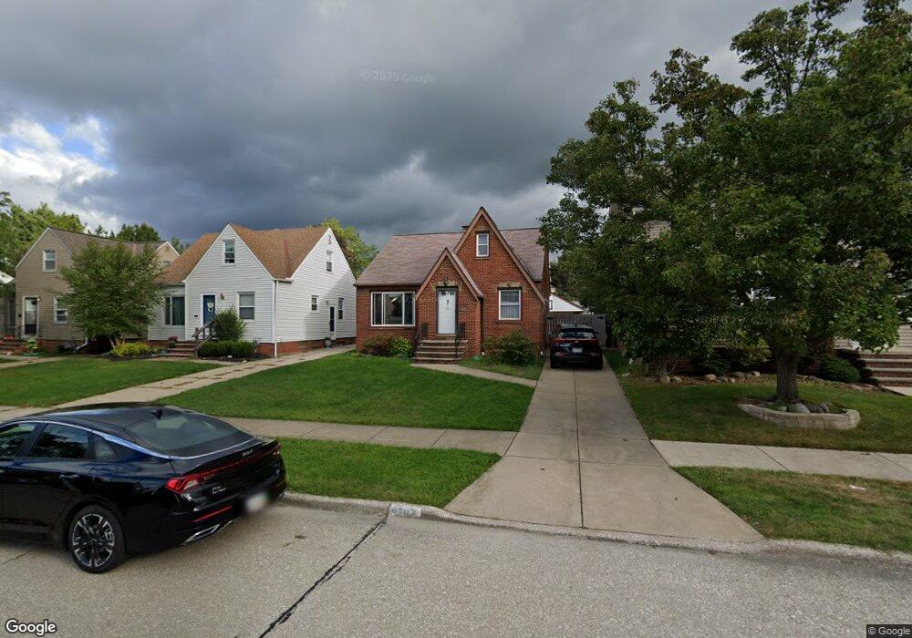
6704 Sunderland Dr Cleveland, OH 44129
Estimated Value: $189,000 - $219,000
3
Beds
1
Bath
1,418
Sq Ft
$147/Sq Ft
Est. Value
About This Home
This home is located at 6704 Sunderland Dr, Cleveland, OH 44129 and is currently estimated at $208,268, approximately $146 per square foot. 6704 Sunderland Dr is a home located in Cuyahoga County with nearby schools including Renwood Elementary School, Hillside Middle School, and Parma High School.
Ownership History
Date
Name
Owned For
Owner Type
Purchase Details
Closed on
Dec 13, 2023
Sold by
Petrick Gail A
Bought by
Petrick Kristin
Current Estimated Value
Purchase Details
Closed on
Sep 11, 2002
Sold by
Petrick Anne
Bought by
Petrick Gail A
Purchase Details
Closed on
Jan 13, 1994
Sold by
Petrick George
Bought by
The Petrick Living Trust
Purchase Details
Closed on
Feb 15, 1985
Sold by
Petrick George and Petrick Ann
Bought by
Petrick George
Purchase Details
Closed on
Jan 1, 1975
Bought by
Petrick George and Petrick Ann
Create a Home Valuation Report for This Property
The Home Valuation Report is an in-depth analysis detailing your home's value as well as a comparison with similar homes in the area
Home Values in the Area
Average Home Value in this Area
Purchase History
| Date | Buyer | Sale Price | Title Company |
|---|---|---|---|
| Petrick Kristin | -- | None Listed On Document | |
| Petrick Gail A | -- | -- | |
| The Petrick Living Trust | -- | -- | |
| Petrick George | -- | -- | |
| Petrick George | -- | -- |
Source: Public Records
Tax History Compared to Growth
Tax History
| Year | Tax Paid | Tax Assessment Tax Assessment Total Assessment is a certain percentage of the fair market value that is determined by local assessors to be the total taxable value of land and additions on the property. | Land | Improvement |
|---|---|---|---|---|
| 2024 | $3,934 | $65,450 | $10,430 | $55,020 |
| 2023 | $2,993 | $42,010 | $9,210 | $32,800 |
| 2022 | $2,964 | $42,000 | $9,205 | $32,795 |
| 2021 | $3,048 | $42,000 | $9,210 | $32,800 |
| 2020 | $2,670 | $32,310 | $7,070 | $25,240 |
| 2019 | $2,555 | $92,300 | $20,200 | $72,100 |
| 2018 | $2,569 | $32,310 | $7,070 | $25,240 |
| 2017 | $2,356 | $27,480 | $5,250 | $22,230 |
| 2016 | $2,342 | $27,480 | $5,250 | $22,230 |
| 2015 | $2,230 | $27,480 | $5,250 | $22,230 |
| 2014 | $2,230 | $28,040 | $5,360 | $22,680 |
Source: Public Records
Map
Nearby Homes
- 6701 Pelham Dr
- 6234 N Canterbury Rd
- 6111 Manchester Rd
- 6227 Ridge Rd
- 6610 Renwood Dr
- 6096 Wareham Dr
- 6510 Belmere Dr
- 6136 Ridge Rd
- 6298 Chestnut Hills Dr
- 6708 Thornton Dr
- 7503 Whittington Dr
- 7014 Thornton Dr
- 5415 Pelham Dr
- 6921 Hollywood Dr
- 5700 Hollywood Dr
- 7115 Hampstead Ave
- 6189 W 54th St
- 5603 Allanwood Dr
- 8017 Wainstead Dr
- 8017 Ackley Rd
- 6700 Sunderland Dr
- 6706 Sunderland Dr
- 6610 Sunderland Dr
- 6710 Sunderland Dr
- 6703 Pelham Dr
- 6606 Sunderland Dr
- 6802 Sunderland Dr
- 6707 Pelham Dr
- 6711 Pelham Dr
- 6611 Pelham Dr
- 6602 Sunderland Dr
- 6808 Sunderland Dr
- 6703 Sunderland Dr
- 6607 Pelham Dr
- 6803 Pelham Dr
- 6707 Sunderland Dr
- 6701 Sunderland Dr
- 6711 Sunderland Dr
- 6611 Sunderland Dr
- 6185 N Canterbury Rd