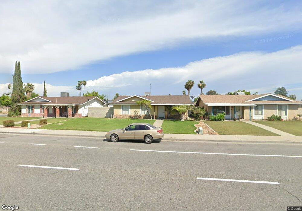
6704 Wilson Rd Bakersfield, CA 93309
Spice NeighborhoodEstimated Value: $280,494 - $318,000
3
Beds
1
Bath
1,088
Sq Ft
$272/Sq Ft
Est. Value
About This Home
This home is located at 6704 Wilson Rd, Bakersfield, CA 93309 and is currently estimated at $295,624, approximately $271 per square foot. 6704 Wilson Rd is a home located in Kern County with nearby schools including Ronald Reagan Elementary School, O.J. Actis Junior High School, and West High School.
Ownership History
Date
Name
Owned For
Owner Type
Purchase Details
Closed on
Dec 20, 2000
Sold by
Hannah William and Hannah Tori A
Bought by
Flores Raymond and Flores Angelica
Current Estimated Value
Home Financials for this Owner
Home Financials are based on the most recent Mortgage that was taken out on this home.
Original Mortgage
$72,353
Outstanding Balance
$26,106
Interest Rate
7.41%
Mortgage Type
FHA
Estimated Equity
$269,518
Create a Home Valuation Report for This Property
The Home Valuation Report is an in-depth analysis detailing your home's value as well as a comparison with similar homes in the area
Home Values in the Area
Average Home Value in this Area
Purchase History
| Date | Buyer | Sale Price | Title Company |
|---|---|---|---|
| Flores Raymond | $73,000 | First American Title Co |
Source: Public Records
Mortgage History
| Date | Status | Borrower | Loan Amount |
|---|---|---|---|
| Open | Flores Raymond | $72,353 | |
| Closed | Flores Raymond | $2,811 |
Source: Public Records
Tax History
| Year | Tax Paid | Tax Assessment Tax Assessment Total Assessment is a certain percentage of the fair market value that is determined by local assessors to be the total taxable value of land and additions on the property. | Land | Improvement |
|---|---|---|---|---|
| 2025 | $1,926 | $109,975 | $30,125 | $79,850 |
| 2024 | $1,888 | $107,820 | $29,535 | $78,285 |
| 2023 | $1,888 | $105,706 | $28,956 | $76,750 |
| 2022 | $1,806 | $103,635 | $28,389 | $75,246 |
| 2021 | $1,702 | $101,604 | $27,833 | $73,771 |
| 2020 | $1,659 | $100,563 | $27,548 | $73,015 |
| 2019 | $1,635 | $100,563 | $27,548 | $73,015 |
| 2018 | $1,569 | $96,660 | $26,479 | $70,181 |
| 2017 | $1,545 | $94,765 | $25,960 | $68,805 |
| 2016 | $1,460 | $92,907 | $25,451 | $67,456 |
| 2015 | $1,443 | $91,512 | $25,069 | $66,443 |
| 2014 | $1,405 | $89,720 | $24,578 | $65,142 |
Source: Public Records
Map
Nearby Homes
- 3812 Curry Ct
- 3516 Sesame St
- 6104 Cumin Ln
- 5204 Corriander Ct
- 5209 Hartford Ave
- 5812 Appletree Ln
- 6608 Edgemont Dr
- 6601 Chelan Ct
- 5409 Peppertree Ln
- 3108 Corvallis Ln
- 3535 Stine Rd Unit 148
- 3535 Stine Rd Unit 159
- 3535 Stine Rd Unit 48
- 3535 Stine Rd Unit 17
- 3535 Stine Rd Unit 14
- 3535 Stine Rd Unit 149
- 3535 Stine Rd Unit 124
- 3535 Stine Rd Unit 180
- 3535 Stine Rd Unit 65
- 3535 Stine Rd Unit 177
Your Personal Tour Guide
Ask me questions while you tour the home.