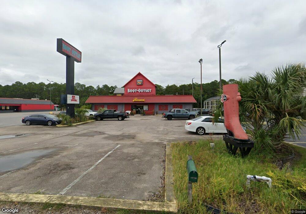
6706 Highway 63 Moss Point, MS 39563
Estimated Value: $2,375,392
--
Bed
--
Bath
7,400
Sq Ft
$321/Sq Ft
Est. Value
About This Home
This home is located at 6706 Highway 63, Moss Point, MS 39563 and is currently estimated at $2,375,392, approximately $320 per square foot. 6706 Highway 63 is a home located in Jackson County with nearby schools including Kreole Primary Elementary School, Escatawpa Upper Elementary School, and Magnolia Middle School.
Ownership History
Date
Name
Owned For
Owner Type
Purchase Details
Closed on
May 17, 2013
Sold by
Spirit Master Funding Llc
Bought by
Parker Robert Dale and Parker Judy Lynn
Current Estimated Value
Home Financials for this Owner
Home Financials are based on the most recent Mortgage that was taken out on this home.
Original Mortgage
$574,598
Interest Rate
3.42%
Mortgage Type
Commercial
Create a Home Valuation Report for This Property
The Home Valuation Report is an in-depth analysis detailing your home's value as well as a comparison with similar homes in the area
Home Values in the Area
Average Home Value in this Area
Purchase History
| Date | Buyer | Sale Price | Title Company |
|---|---|---|---|
| Parker Robert Dale | -- | -- |
Source: Public Records
Mortgage History
| Date | Status | Borrower | Loan Amount |
|---|---|---|---|
| Closed | Parker Robert Dale | $574,598 | |
| Closed | Parker Robert Dale | $655,000 |
Source: Public Records
Tax History Compared to Growth
Tax History
| Year | Tax Paid | Tax Assessment Tax Assessment Total Assessment is a certain percentage of the fair market value that is determined by local assessors to be the total taxable value of land and additions on the property. | Land | Improvement |
|---|---|---|---|---|
| 2024 | $19,063 | $111,030 | $44,876 | $66,154 |
| 2023 | $19,063 | $111,030 | $44,876 | $66,154 |
| 2022 | $18,128 | $111,029 | $0 | $0 |
| 2021 | $18,137 | $111,029 | $0 | $0 |
| 2020 | $18,600 | $112,900 | $44,876 | $68,024 |
| 2019 | $18,556 | $112,900 | $44,876 | $68,024 |
| 2018 | $18,556 | $112,900 | $44,876 | $68,024 |
| 2017 | $18,487 | $112,900 | $44,876 | $68,024 |
| 2016 | $6,346 | $123,542 | $44,876 | $78,666 |
| 2015 | $5,982 | $776,340 | $299,170 | $477,170 |
| 2014 | $5,982 | $116,452 | $44,876 | $71,576 |
| 2013 | $5,982 | $116,452 | $44,876 | $71,576 |
Source: Public Records
Map
Nearby Homes
- 5002 Frison Ave
- 0 Interstate 10
- 40.2 Elder Ferry Rd
- 0 Tanner St Unit 4106008
- 4437 Brentz Ln
- 5818 Elder Ferry Rd
- 7116 Elder Ferry Rd
- 4319 Adcock St
- 7208 Elder Ferry Rd
- 7316 Elder Ferry Rd
- 0 Miller Rd
- 3916 Dutch Bayou Rd
- 6908 Barnes Rd
- 6924 Barnes Rd
- 7621 Elder Ferry Rd
- 0 Frank Griffin Rd
- 7324 Mississippi 613
- 0 Hwy 613 Hwy Unit 4127039
- 0 Hwy 613 Hwy Unit 4129036
- 3712 Dale Ln
- 0 Highway 63 Hwy Unit 3211355
- 0 Highway 63 Hwy Unit 3244871
- 6528 Highway 63
- 6522 Highway 63
- 6800 Highway 63
- 6016 Mississippi 63
- 6016 Highway 63
- NKN Nkn Elder Ferry Rd
- 6212 Elder Ferry Rd
- 6416 Elder Ferry Rd
- 6408 Elder Ferry Rd
- 6404 Elder Ferry Rd
- 0 Elder Ferry Point Unit 3248110
- 4830 Dutch Bayou Rd
- 6505 Elder Ferry Rd
- 6417 Elder Ferry Rd
- 6413 Elder Ferry Rd
- 6401 Elder Ferry Rd
- 6228 Elder Ferry Rd
- 6709 Elder Ferry Point