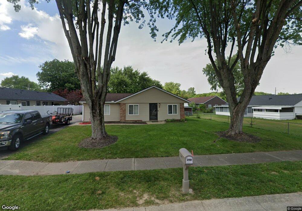
6707 Sandy Dr Dayton, OH 45426
Estimated Value: $132,286 - $146,000
3
Beds
1
Bath
1,107
Sq Ft
$126/Sq Ft
Est. Value
About This Home
This home is located at 6707 Sandy Dr, Dayton, OH 45426 and is currently estimated at $139,322, approximately $125 per square foot. 6707 Sandy Dr is a home located in Montgomery County with nearby schools including Trotwood-Madison Middle School, Trotwood-Madison High School, and Trotwood Preparatory & Fitness Academy.
Ownership History
Date
Name
Owned For
Owner Type
Purchase Details
Closed on
Feb 19, 2020
Sold by
Estate Of Patricia Jo Edwards
Bought by
Edwards Orlando and Taylor Antore
Current Estimated Value
Purchase Details
Closed on
Jul 8, 1998
Sold by
Jo Edwards Patricia and Edwards Patricia
Bought by
Taylor Patricia Edwards
Home Financials for this Owner
Home Financials are based on the most recent Mortgage that was taken out on this home.
Original Mortgage
$46,500
Interest Rate
7.15%
Mortgage Type
Balloon
Create a Home Valuation Report for This Property
The Home Valuation Report is an in-depth analysis detailing your home's value as well as a comparison with similar homes in the area
Home Values in the Area
Average Home Value in this Area
Purchase History
We collect this data history from publicly available records. To have your information removed, we recommend requesting removal directly through your county’s website.
| Date | Buyer | Sale Price | Title Company |
|---|---|---|---|
| Edwards Orlando | -- | None Available | |
| Taylor Patricia Edwards | -- | -- | |
| Taylor Patricia Edwards | -- | -- |
Source: Public Records
Mortgage History
We collect this data history from publicly available records. To have your information removed, we recommend requesting removal directly through your county’s website.
| Date | Status | Borrower | Loan Amount |
|---|---|---|---|
| Closed | Taylor Patricia Edwards | $46,500 |
Source: Public Records
Tax History
| Year | Tax Paid | Tax Assessment Tax Assessment Total Assessment is a certain percentage of the fair market value that is determined by local assessors to be the total taxable value of land and additions on the property. | Land | Improvement |
|---|---|---|---|---|
| 2025 | $1,405 | $21,990 | $7,080 | $14,910 |
| 2024 | $1,371 | $21,990 | $7,080 | $14,910 |
| 2023 | $1,371 | $21,990 | $7,080 | $14,910 |
| 2022 | $1,213 | $15,810 | $5,090 | $10,720 |
| 2021 | $1,215 | $15,810 | $5,090 | $10,720 |
| 2020 | $1,214 | $15,810 | $5,090 | $10,720 |
| 2019 | $577 | $15,420 | $5,090 | $10,330 |
| 2018 | $578 | $15,420 | $5,090 | $10,330 |
| 2017 | $575 | $15,420 | $5,090 | $10,330 |
| 2016 | $519 | $14,730 | $5,090 | $9,640 |
| 2015 | $509 | $14,730 | $5,090 | $9,640 |
| 2014 | $509 | $14,730 | $5,090 | $9,640 |
| 2012 | -- | $14,830 | $4,970 | $9,860 |
Source: Public Records
Map
Nearby Homes
- 0 Little Richmond Rd
- 80 Brookhaven Dr
- 325 Stubbs Dr
- 314 Stubbs Dr
- 63 Soloman St
- 98 Gump Place
- 9 Mario Dr
- 4 Pleasant Ave
- NA Olive Rd
- 2511 N Snyder Rd
- 5353 Little Richmond Rd
- 206 E Worley Ave
- 6290 Forestdale Ave
- 1500 N Snyder Rd
- 0 Trotwood Blvd Unit 952242
- 0 Northwest Pkwy
- 100 Macgregor Dr
- 14 W Sherry Dr
- 220 E Sunrise Ave
- 211 E Sunrise Ave
- 7098 Marsh Creek Dr
- 6600 Post Town Rd
- 6610 Post Town Rd
- 7096 Marsh Creek Dr
- 6620 Post Town Rd
- 6712 Sandy Dr
- 6706 Sandy Dr
- 6718 Sandy Dr
- 7095 Marsh Creek Dr
- 6700 Sandy Dr
- 7088 Marsh Creek Dr
- 6630 Post Town Rd
- 7085 Marsh Creek Dr
- 7080 Marsh Creek Dr
- 6737 Sandy Dr
- 6730 Sandy Dr
- 6640 Post Town Rd
- 7079 Marsh Creek Dr
- 6736 Sandy Dr
- 7072 Marsh Creek Dr
Your Personal Tour Guide
Ask me questions while you tour the home.