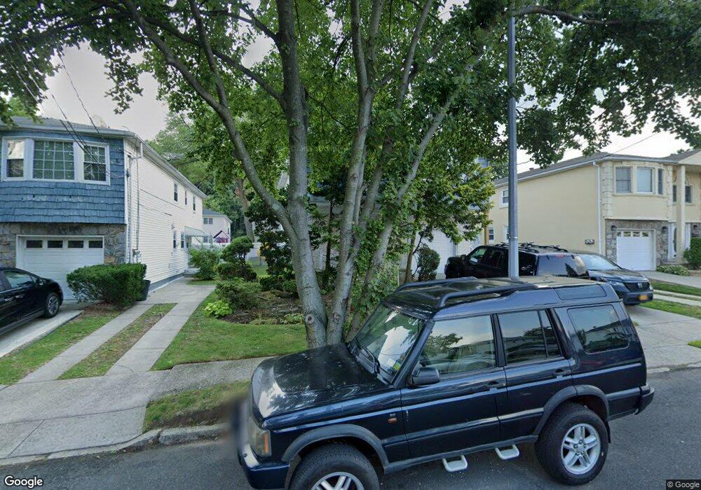
671 Collfield Ave Staten Island, NY 10314
Willowbrook NeighborhoodEstimated Value: $935,299 - $1,175,000
3
Beds
2
Baths
2,152
Sq Ft
$481/Sq Ft
Est. Value
About This Home
This home is located at 671 Collfield Ave, Staten Island, NY 10314 and is currently estimated at $1,036,075, approximately $481 per square foot. 671 Collfield Ave is a home located in Richmond County with nearby schools including P.S. 54 Charles W Leng, Is 72 Rocco Laurie, and Susan E Wagner High School.
Ownership History
Date
Name
Owned For
Owner Type
Purchase Details
Closed on
Oct 31, 2019
Sold by
Goldstein Paul V and Goldstein Lenore D
Bought by
Pearlman Stacey and Pearlman Jake
Current Estimated Value
Home Financials for this Owner
Home Financials are based on the most recent Mortgage that was taken out on this home.
Original Mortgage
$640,000
Outstanding Balance
$561,907
Interest Rate
3.5%
Estimated Equity
$474,168
Create a Home Valuation Report for This Property
The Home Valuation Report is an in-depth analysis detailing your home's value as well as a comparison with similar homes in the area
Home Values in the Area
Average Home Value in this Area
Purchase History
| Date | Buyer | Sale Price | Title Company |
|---|---|---|---|
| Pearlman Stacey | $800,000 | Title Issues Agency Llc |
Source: Public Records
Mortgage History
| Date | Status | Borrower | Loan Amount |
|---|---|---|---|
| Open | Pearlman Stacey | $640,000 |
Source: Public Records
Tax History Compared to Growth
Tax History
| Year | Tax Paid | Tax Assessment Tax Assessment Total Assessment is a certain percentage of the fair market value that is determined by local assessors to be the total taxable value of land and additions on the property. | Land | Improvement |
|---|---|---|---|---|
| 2025 | $9,163 | $57,420 | $10,661 | $46,759 |
| 2024 | $9,163 | $49,800 | $11,597 | $38,203 |
| 2023 | $9,002 | $44,323 | $9,612 | $34,711 |
| 2022 | $8,348 | $50,700 | $12,660 | $38,040 |
| 2021 | $8,801 | $46,980 | $12,660 | $34,320 |
| 2020 | $8,529 | $51,900 | $12,660 | $39,240 |
| 2019 | $7,953 | $53,340 | $12,660 | $40,680 |
| 2018 | $7,529 | $36,936 | $11,344 | $25,592 |
| 2017 | $7,104 | $34,848 | $10,400 | $24,448 |
| 2016 | $6,966 | $34,848 | $11,634 | $23,214 |
| 2015 | $6,080 | $33,580 | $10,405 | $23,175 |
| 2014 | $6,080 | $31,680 | $10,560 | $21,120 |
Source: Public Records
Map
Nearby Homes
- 0 Woodward Ave
- 27 Bascom Place
- 664 S Gannon Ave
- 490 Collfield Ave
- 274 Crafton Ave
- 592 Woolley Ave
- 207 Martin Ave
- 591 Woolley Ave
- 182 Ardmore Ave
- 245 Martin Ave
- 97 Martin Ave
- 777-805 Willowbrook Rd
- 523 Woolley Ave
- 35 Dreyer Ave Unit 7
- 198 Warwick Ave
- 37 Dreyer Ave Unit A
- 165 Warwick Ave
- 15 Boone St
- 58 Darcey Ave
- 49 Sheraden Ave
- 667 Collfield Ave
- 675 Collfield Ave
- 675 Collfield Ave Unit 1
- 663 Collfield Ave
- 679 Collfield Ave
- 188 Woodward Ave
- 661 Collfield Ave
- 190 Woodward Ave
- 184 Woodward Ave
- 194 Woodward Ave
- 180 Woodward Ave
- 683 Collfield Ave
- 670 Collfield Ave
- 657 Collfield Ave
- 198 Woodward Ave
- 174 Woodward Ave
- 660 Collfield Ave
- 682 Collfield Ave
- 653 Collfield Ave
- 689 Collfield Ave