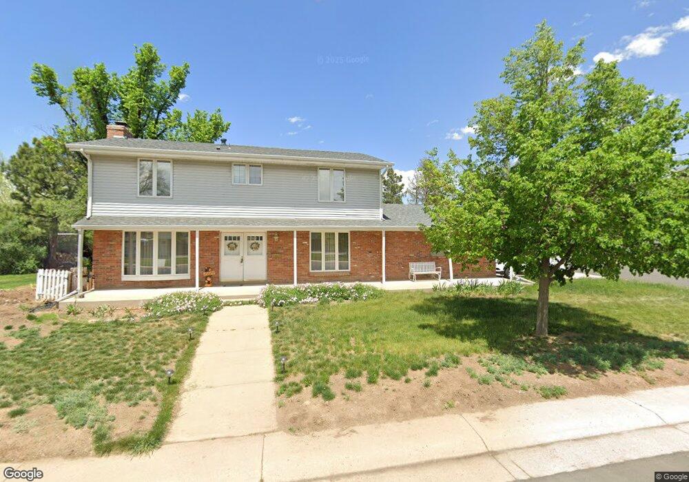
671 E Davies Ave Centennial, CO 80122
Southglenn NeighborhoodEstimated Value: $630,000 - $678,000
About This Home
This home is located at 671 E Davies Ave, Centennial, CO 80122 and is currently estimated at $649,291, approximately $375 per square foot. 671 E Davies Ave is a home located in Arapahoe County with nearby schools including Hopkins Elementary School, John Wesley Powell Middle School, and Heritage High School.
Ownership History
We collect this data history from publicly available records. To have your information removed, we recommend requesting removal directly through your county’s website.
Purchase Details
Home Financials for this Owner
Home Financials are based on the most recent Mortgage that was taken out on this home.Purchase Details
Purchase Details
Home Values in the Area
Average Home Value in this Area
Purchase History
We collect this data history from publicly available records. To have your information removed, we recommend requesting removal directly through your county’s website.
| Date | Buyer | Sale Price | Title Company |
|---|---|---|---|
| $263,500 | First American Heritage Titl | ||
| -- | -- | ||
| -- | -- |
Mortgage History
We collect this data history from publicly available records. To have your information removed, we recommend requesting removal directly through your county’s website.
| Date | Status | Borrower | Loan Amount |
|---|---|---|---|
| Open | $225,200 | ||
| Closed | $234,000 | ||
| Closed | $12,000 | ||
| Closed | $237,150 | ||
| Previous Owner | $119,000 | ||
| Previous Owner | $120,000 |
Tax History
We collect this data history from publicly available records. To have your information removed, we recommend requesting removal directly through your county’s website.
| Year | Tax Paid | Tax Assessment Tax Assessment Total Assessment is a certain percentage of the fair market value that is determined by local assessors to be the total taxable value of land and additions on the property. | Land | Improvement |
|---|---|---|---|---|
| 2026 | $4,814 | $37,167 | ||
| 2025 | $4,271 | $37,956 | ||
| 2024 | $4,006 | $37,353 | ||
| 2023 | $4,006 | $37,353 | $0 | $0 |
| 2022 | $3,743 | $32,894 | $0 | $0 |
| 2021 | $3,740 | $32,894 | $0 | $0 |
| 2020 | $3,034 | $27,277 | $0 | $0 |
| 2019 | $3,315 | $27,277 | $0 | $0 |
| 2018 | $3,003 | $24,437 | $0 | $0 |
| 2017 | $2,806 | $24,437 | $0 | $0 |
| 2016 | $2,705 | $22,559 | $0 | $0 |
| 2015 | $2,706 | $22,559 | $0 | $0 |
| 2014 | -- | $18,228 | $0 | $0 |
| 2013 | -- | $17,660 | $0 | $0 |
Map
- 6861 S Washington St
- 488 E Highline Cir Unit 488
- 1061 E Briarwood Cir N
- 1186 E Davies Ct
- 190 E Highline Cir Unit 202
- 620 E Geddes Ave
- 7223 S Clarkson St
- 1260 E Easter Ave
- 6870 S Broadway
- 7367 S Pennsylvania St
- 6702 S Kit Carson Cir E
- 6916 S Broadway
- 400 E Fremont Place Unit 204
- 7360 S Logan St
- 521 E Hinsdale Ave
- 6688 S Wellington Ct
- 6696 S Kit Carson St
- 1393 E Easter Cir
- 638 E Hinsdale Ave
- 7232 S Broadway
- 7085 S Penrose Ct
- 7098 S Pennsylvania St
- 690 E Davies Ave
- 7080 S Pennsylvania St
- 7098 S Penrose Ct
- 7065 S Penrose Ct
- 610 E Davies Ave
- 7080 S Penrose Ct
- 7115 S Penrose Ct
- 7100 S Penrose Ct
- 7060 S Penrose Ct
- 7045 S Penrose Ct
- 7050 S Pennsylvania St
- 7110 S Pennsylvania St
- 7031 S Washington St
- 7021 S Washington St
- 7125 S Penrose Ct
- 7040 S Penrose Ct
- 7085 S Pennsylvania St
- 7120 S Penrose Ct
Ask me questions while you tour the home.