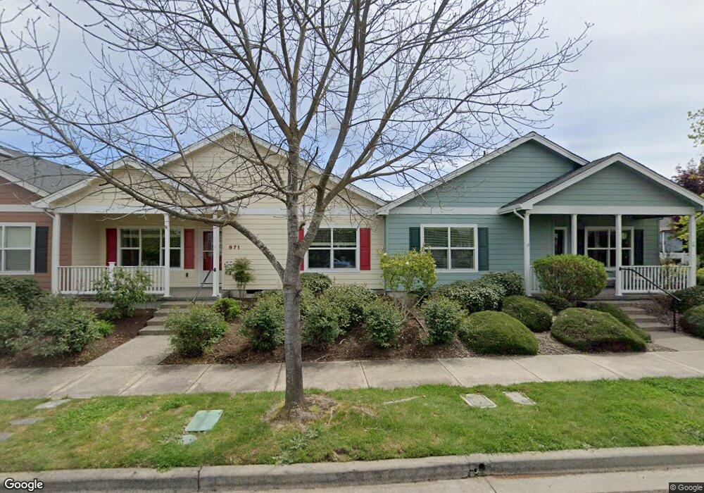
671 Grouse Ridge Dr Central Point, OR 97502
Estimated Value: $339,459 - $432,000
2
Beds
2
Baths
1,337
Sq Ft
$285/Sq Ft
Est. Value
About This Home
This home is located at 671 Grouse Ridge Dr, Central Point, OR 97502 and is currently estimated at $381,115, approximately $285 per square foot. 671 Grouse Ridge Dr is a home located in Jackson County with nearby schools including Richardson Elementary School, Scenic Middle School, and Crater High School.
Ownership History
Date
Name
Owned For
Owner Type
Purchase Details
Closed on
Oct 19, 2017
Sold by
Moore Amy M
Bought by
Ffc Properties Llc
Current Estimated Value
Purchase Details
Closed on
Apr 28, 2016
Sold by
Ffc Properties Llc
Bought by
Moore Amy M
Purchase Details
Closed on
Apr 22, 2008
Sold by
W L Moore Properties Llc
Bought by
Moore Amy M
Create a Home Valuation Report for This Property
The Home Valuation Report is an in-depth analysis detailing your home's value as well as a comparison with similar homes in the area
Home Values in the Area
Average Home Value in this Area
Purchase History
| Date | Buyer | Sale Price | Title Company |
|---|---|---|---|
| Ffc Properties Llc | -- | Accommodation | |
| Moore Amy M | -- | Accommodation | |
| Moore Amy M | -- | Accommodation |
Source: Public Records
Tax History Compared to Growth
Tax History
| Year | Tax Paid | Tax Assessment Tax Assessment Total Assessment is a certain percentage of the fair market value that is determined by local assessors to be the total taxable value of land and additions on the property. | Land | Improvement |
|---|---|---|---|---|
| 2025 | $3,410 | $205,090 | $91,540 | $113,550 |
| 2024 | $3,410 | $199,120 | $88,880 | $110,240 |
| 2023 | $3,300 | $193,330 | $86,290 | $107,040 |
| 2022 | $3,223 | $193,330 | $86,290 | $107,040 |
| 2021 | $3,131 | $187,700 | $83,780 | $103,920 |
| 2020 | $3,040 | $182,240 | $81,340 | $100,900 |
| 2019 | $2,965 | $171,790 | $76,670 | $95,120 |
| 2018 | $2,875 | $166,790 | $74,440 | $92,350 |
| 2017 | $2,802 | $166,790 | $74,440 | $92,350 |
| 2016 | $2,721 | $157,230 | $70,170 | $87,060 |
| 2015 | $2,607 | $157,230 | $70,170 | $87,060 |
| 2014 | $2,541 | $148,220 | $66,150 | $82,070 |
Source: Public Records
Map
Nearby Homes
- 1167 Boulder Ridge St
- 0 Boulder Ridge St
- 1159 Rustler Peak St
- 526 Stone Pointe Dr
- 629 Bridge Creek Dr
- 426 Bridge Creek Dr
- 1317 River Run St
- 327 Brookhaven Dr
- 4626 N Pacific Hwy
- 905 Comet Ave
- 356 Marian Ave Unit 40
- 1135 Shake Dr
- 422 Castle Rock Dr
- 1134 Steamboat Dr
- 413 Sand Pointe Dr
- 626 Griffin Oaks Dr
- 335 Applewood Dr
- 407 Silver Creek Dr
- 1010 N 3rd St
- 55 Crater Ln
- 663 Grouse Ridge Dr
- 679 Grouse Ridge Dr
- 655 Grouse Ridge Dr
- 687 Grouse Ridge Dr
- 647 Grouse Ridge Dr
- 695 Grouse Ridge Dr
- 639 Grouse Ridge Dr
- 660 Grouse Ridge Dr
- 676 Grouse Ridge Dr
- 1099 N Haskell St
- 1107 N Haskell St
- 1091 N Haskell St
- 703 Grouse Ridge Dr
- 684 Grouse Ridge Dr
- 1115 N Haskell St
- 700 Grouse Ridge Dr
- 676 Golden Peak Dr
- 668 Golden Peak Dr
- 684 Golden Peak Dr
- 711 Grouse Ridge Dr