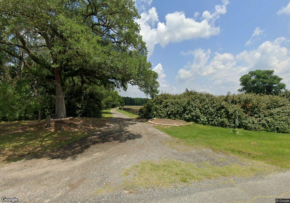
671 Martin Rd Boston, GA 31626
Estimated Value: $124,000 - $805,743
3
Beds
3
Baths
2,619
Sq Ft
$152/Sq Ft
Est. Value
About This Home
This home is located at 671 Martin Rd, Boston, GA 31626 and is currently estimated at $398,914, approximately $152 per square foot. 671 Martin Rd is a home located in Thomas County with nearby schools including Hand in Hand Primary School, Garrison-Pilcher Elementary School, and Cross Creek Elementary School.
Ownership History
Date
Name
Owned For
Owner Type
Purchase Details
Closed on
Jun 26, 2017
Sold by
Brown Mitchell P
Bought by
Freeman Jason F
Current Estimated Value
Purchase Details
Closed on
Jun 8, 2004
Sold by
Kemp Dannise T
Bought by
Brown Mitchel P and Brown Margaret M
Purchase Details
Closed on
May 20, 2004
Sold by
Wolff Ellen Edgar
Bought by
Kemp Dannise T
Purchase Details
Closed on
Dec 1, 2000
Sold by
Lane Jack R
Bought by
Kemp Dannise T
Purchase Details
Closed on
Oct 29, 1999
Sold by
Lane Jack R
Bought by
Lane Jack R
Purchase Details
Closed on
May 20, 1994
Bought by
Lane Jack R
Create a Home Valuation Report for This Property
The Home Valuation Report is an in-depth analysis detailing your home's value as well as a comparison with similar homes in the area
Home Values in the Area
Average Home Value in this Area
Purchase History
| Date | Buyer | Sale Price | Title Company |
|---|---|---|---|
| Freeman Jason F | $640,000 | -- | |
| Brown Mitchel P | $388,000 | -- | |
| Kemp Dannise T | -- | -- | |
| Kemp Dannise T | $248,900 | -- | |
| Lane Jack R | -- | -- | |
| Lane Jack R | $170,000 | -- |
Source: Public Records
Tax History Compared to Growth
Tax History
| Year | Tax Paid | Tax Assessment Tax Assessment Total Assessment is a certain percentage of the fair market value that is determined by local assessors to be the total taxable value of land and additions on the property. | Land | Improvement |
|---|---|---|---|---|
| 2024 | $2,816 | $258,241 | $154,331 | $103,910 |
| 2023 | $2,612 | $246,514 | $148,608 | $97,906 |
| 2022 | $2,633 | $236,035 | $148,608 | $87,427 |
| 2021 | $2,568 | $204,330 | $128,900 | $75,430 |
| 2020 | $2,574 | $202,722 | $128,900 | $73,822 |
| 2019 | $2,584 | $202,722 | $128,900 | $73,822 |
| 2018 | $2,579 | $201,185 | $128,900 | $72,285 |
| 2017 | $2,330 | $208,697 | $144,320 | $64,377 |
| 2016 | $2,314 | $208,176 | $144,320 | $63,857 |
| 2015 | $0 | $211,957 | $144,320 | $67,637 |
| 2014 | -- | $210,544 | $144,320 | $66,225 |
| 2013 | -- | $0 | $0 | $0 |
Source: Public Records
Map
Nearby Homes
- 130 E Adams St
- 2815 Parker Rd
- 682 Salem Rd
- 146 Old Highway 84 W
- 185 Community Ln
- 2156 County Road 78
- 8820 Grooverville Rd
- 9900 Ozell Rd
- 431 Dry Lake Rd
- 2818 Dry Lake Rd
- 0 Spencer Rd
- 5199 U S 84
- 4311 Ozell Rd
- 00 Summer Hill Rd Unit 1
- 7500 U S 19
- 842 Crabapple Dr
- 00 Cone Road & Beulah Church Rd
- 7402 Coffee Rd
- 138
- 454 Fox Meadow Ln
- 671 Martin Rd
- 1101 Martin Rd
- 632 Martin Rd
- 998 Martin Rd
- 51 Hosea Brooks Ln
- 990 Martin Rd
- 1635 Martin Rd
- 646 Martin Rd
- 410 Martin Rd
- 2075 Grooverville Rd
- 2505 Grooverville Rd
- 1686 Martin Rd
- 390 Martin Rd
- 1556 Martin Rd
- 1320 Martin Rd
- 1390 Martin Rd
- 1354 Martin Rd
- 1851 Grooverville Rd
- 2671 Grooverville Rd
- 1835 Grooversville Rd