Estimated Value: $176,444 - $234,000
3
Beds
1
Bath
1,102
Sq Ft
$178/Sq Ft
Est. Value
About This Home
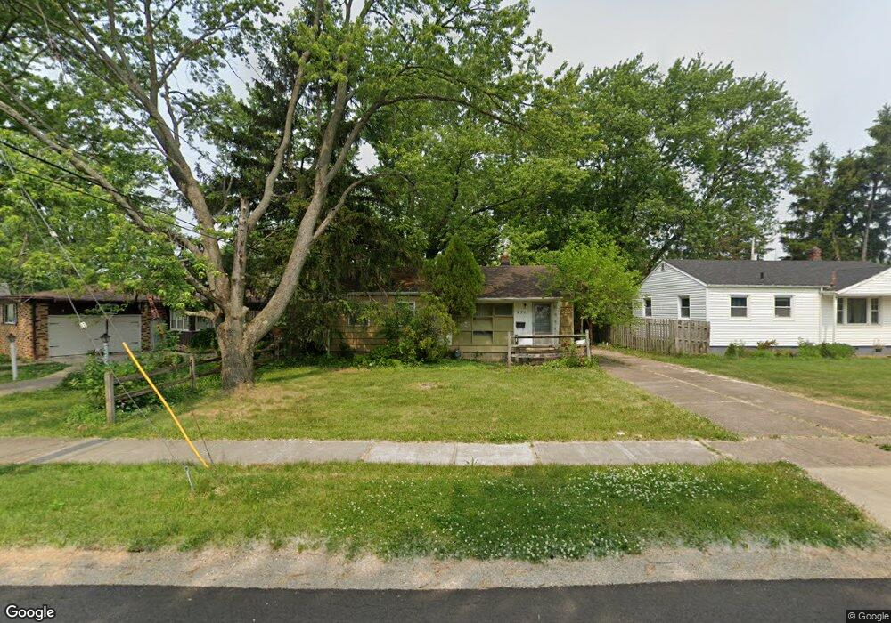
This home is located at 671 the Burns, Berea, OH 44017 and is currently estimated at $195,861, approximately $177 per square foot. 671 the Burns is a home located in Cuyahoga County with nearby schools including Grindstone Elementary School, Berea-Midpark Middle School, and Berea-Midpark High School.
Ownership History
Date
Name
Owned For
Owner Type
Purchase Details
Closed on
Apr 3, 1985
Sold by
Johns Albert L and J A
Bought by
Johns Albert L and Johns Joyce A
Current Estimated Value
Purchase Details
Closed on
Jan 1, 1975
Bought by
Johns Albert L and J A
Create a Home Valuation Report for This Property
The Home Valuation Report is an in-depth analysis detailing your home's value as well as a comparison with similar homes in the area
Home Values in the Area
Average Home Value in this Area
Purchase History
| Date | Buyer | Sale Price | Title Company |
|---|---|---|---|
| Johns Albert L | -- | -- | |
| Johns Albert L | -- | -- |
Source: Public Records
Tax History Compared to Growth
Tax History
| Year | Tax Paid | Tax Assessment Tax Assessment Total Assessment is a certain percentage of the fair market value that is determined by local assessors to be the total taxable value of land and additions on the property. | Land | Improvement |
|---|---|---|---|---|
| 2024 | $2,584 | $44,485 | $10,465 | $34,020 |
| 2023 | $2,792 | $40,430 | $9,100 | $31,330 |
| 2022 | $2,775 | $40,425 | $9,100 | $31,325 |
| 2021 | $2,750 | $40,430 | $9,100 | $31,330 |
| 2020 | $2,570 | $33,500 | $7,700 | $25,800 |
| 2019 | $2,501 | $95,700 | $22,000 | $73,700 |
| 2018 | $2,584 | $33,500 | $7,700 | $25,800 |
| 2017 | $2,871 | $35,880 | $6,510 | $29,370 |
| 2016 | $2,849 | $35,880 | $6,510 | $29,370 |
| 2015 | $2,614 | $35,880 | $6,510 | $29,370 |
| 2014 | $2,614 | $34,830 | $6,340 | $28,490 |
Source: Public Records
Map
Nearby Homes
- 6574 Burton Dr
- 35 W 5th Ave
- 467 Birchwood Dr
- 135 W Bagley Rd
- 20406 Williamsburg Ct Unit 2068
- 24402 Barrett Rd
- 75 Sunset Dr
- 190 Lee Rd
- 132 Stonefield Dr
- 154 Lee Rd
- 517 Bishop Place
- 0 E Bagley Rd Unit 5111166
- 41 Riverside Dr
- 19 Baker St
- 47 Prospect St
- 217 Kraft St
- 617 Lindberg Blvd
- 28 Crocker St
- 100 River Rock Way
- 136 River Rock Way Unit D
- 677 the Burns
- 670 Longfellow Dr
- 660 Longfellow Dr
- 676 Longfellow Dr
- 683 the Burns
- 682 Longfellow Dr
- 195 The Mall
- 675 Wesley Dr
- 644 Longfellow Dr
- 215 The Mall
- 671 Longfellow Dr
- 665 Longfellow Dr
- 659 Longfellow Dr
- 675 Longfellow Dr
- 661 Wesley Dr
- 653 Longfellow Dr
- 681 Longfellow Dr
- 229 The Mall
- 674 Wesley Dr
- 181 The Mall