6710 10th St NE Buffalo, MN 55313
Estimated Value: $670,000 - $1,774,382
5
Beds
2
Baths
2,170
Sq Ft
$563/Sq Ft
Est. Value
About This Home
This home is located at 6710 10th St NE, Buffalo, MN 55313 and is currently estimated at $1,222,191, approximately $563 per square foot. 6710 10th St NE is a home with nearby schools including Parkside Elementary School, Buffalo Community Middle School, and Buffalo Senior High School.
Ownership History
Date
Name
Owned For
Owner Type
Purchase Details
Closed on
Aug 22, 2024
Sold by
Deisting Mark and Deisting Charlene
Bought by
Rdeisting Llc
Current Estimated Value
Home Financials for this Owner
Home Financials are based on the most recent Mortgage that was taken out on this home.
Original Mortgage
$850,000
Outstanding Balance
$840,418
Interest Rate
6.89%
Mortgage Type
New Conventional
Estimated Equity
$381,773
Create a Home Valuation Report for This Property
The Home Valuation Report is an in-depth analysis detailing your home's value as well as a comparison with similar homes in the area
Home Values in the Area
Average Home Value in this Area
Purchase History
| Date | Buyer | Sale Price | Title Company |
|---|---|---|---|
| Rdeisting Llc | $850,000 | -- |
Source: Public Records
Mortgage History
| Date | Status | Borrower | Loan Amount |
|---|---|---|---|
| Open | Rdeisting Llc | $850,000 |
Source: Public Records
Tax History Compared to Growth
Tax History
| Year | Tax Paid | Tax Assessment Tax Assessment Total Assessment is a certain percentage of the fair market value that is determined by local assessors to be the total taxable value of land and additions on the property. | Land | Improvement |
|---|---|---|---|---|
| 2025 | $6,228 | $1,895,000 | $1,684,100 | $210,900 |
| 2024 | $5,708 | $1,972,100 | $1,767,100 | $205,000 |
| 2023 | $5,252 | $1,957,400 | $1,757,100 | $200,300 |
| 2022 | $5,642 | $1,689,800 | $1,506,200 | $183,600 |
| 2021 | $5,724 | $1,505,700 | $1,340,000 | $165,700 |
| 2020 | $5,926 | $1,448,600 | $1,285,400 | $163,200 |
| 2019 | $5,582 | $1,253,500 | $0 | $0 |
| 2018 | $5,314 | $157,200 | $0 | $0 |
| 2017 | $5,392 | $1,320,300 | $0 | $0 |
| 2016 | $5,252 | $0 | $0 | $0 |
| 2015 | $5,328 | $0 | $0 | $0 |
| 2014 | -- | $0 | $0 | $0 |
Source: Public Records
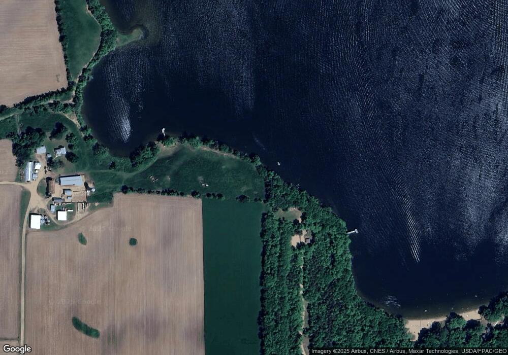
Map
Nearby Homes
- 68 Gillard Ave SE
- 5000 10th St NE
- 552 Halsey Ave SE
- xxxx Jamison Ave NE
- 2656 Ivy Ave NE
- 9234 25th St NE
- 2733 Iverson Ave NE
- 2717 Iverson Ave NE
- 2709 Iverson Ave NE
- The Primrose Plan at Legacy Bay Farms - Single Family Homes
- The Mulberry Plan at Legacy Bay Farms - Single Family Homes
- The Brook View Plan at Legacy Bay Farms - Single Family Homes
- The Everest Plan at Legacy Bay Farms - Single Family Homes
- The Ashton Plan at Legacy Bay Farms - Single Family Homes
- The Newport Plan at Legacy Bay Farms - Single Family Homes
- The Cheyenne Plan at Legacy Bay Farms - Single Family Homes
- The Water Stone Plan at Legacy Bay Farms - Single Family Homes
- The Rockport Plan at Legacy Bay Farms - Single Family Homes
- The Waverly Plan at Legacy Bay Farms - Single Family Homes
- The Barrett (2.5 Car) Plan at Legacy Bay Farms - Liberty
- 1132 Garrison Ave NE
- 6851 10th St NE
- 1661 Garrison Ave NE
- 1682 Garrison Ave NE
- 6651 10th St NE
- 6721 10th St NE
- 961 Garrison Ave NE
- 6380 10th St NE
- 760 Haug Ave NE
- 6991 20th St NE
- 6177 10th St NE
- xxx Garrison Ave NE
- 6209 10th St NE
- 690 Garrison Ave NE
- 7137 20th St NE
- 671 Haug Ave NE
- 705 Haug Ave NE
- 7031 20th St NE
- 64XX 20th St NE
- 64xx NE 20th St