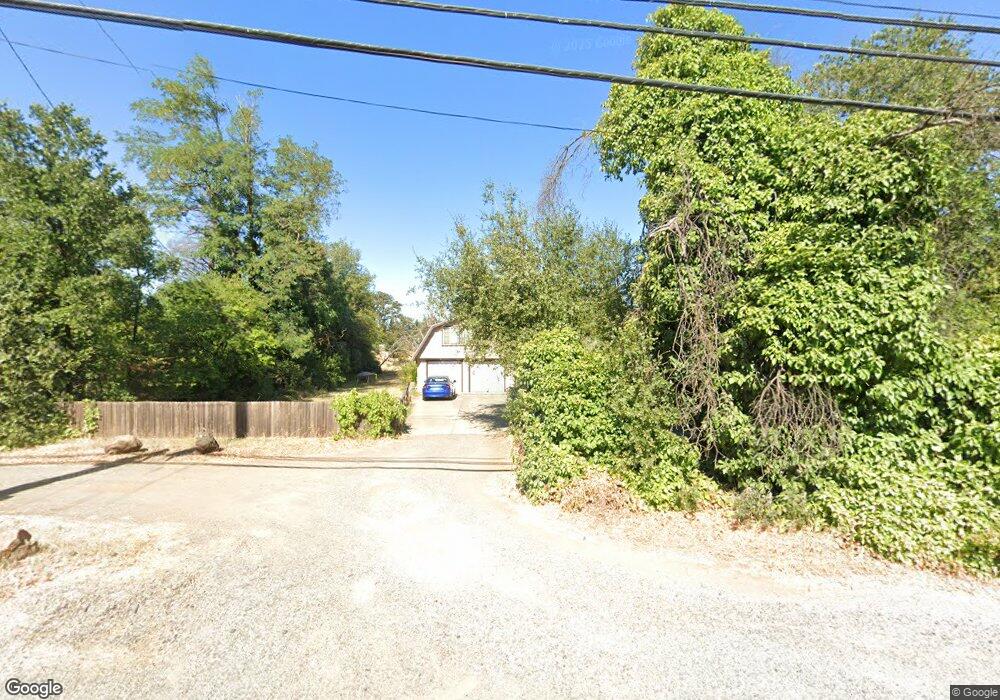
6710 Airport Rd Redding, CA 96002
Redding AreaEstimated Value: $434,000 - $470,000
About This Home
This home is located at 6710 Airport Rd, Redding, CA 96002 and is currently estimated at $450,277, approximately $193 per square foot. 6710 Airport Rd is a home located in Shasta County with nearby schools including Prairie Elementary School, Pacheco Elementary School, and Northern Summit Academy.
Ownership History
We collect this data history from publicly available records. To have your information removed, we recommend requesting removal directly through your county’s website.
Purchase Details
Purchase Details
Purchase History
We collect this data history from publicly available records. To have your information removed, we recommend requesting removal directly through your county’s website.
| Date | Buyer | Sale Price | Title Company |
|---|---|---|---|
| -- | None Available | ||
| -- | None Available | ||
| -- | None Available |
Mortgage History
We collect this data history from publicly available records. To have your information removed, we recommend requesting removal directly through your county’s website.
| Date | Status | Borrower | Loan Amount |
|---|---|---|---|
| Closed | $100,000 | ||
| Closed | $100,000 | ||
| Closed | $50,000 | ||
| Closed | $50,000 | ||
| Closed | $91,800 | ||
| Closed | $25,000 | ||
| Closed | $90,476 |
Tax History
We collect this data history from publicly available records. To have your information removed, we recommend requesting removal directly through your county’s website.
| Year | Tax Paid | Tax Assessment Tax Assessment Total Assessment is a certain percentage of the fair market value that is determined by local assessors to be the total taxable value of land and additions on the property. | Land | Improvement |
|---|---|---|---|---|
| 2025 | $1,787 | $154,275 | $33,673 | $120,602 |
| 2024 | $1,787 | $175,002 | $56,764 | $118,238 |
| 2023 | $1,787 | $171,571 | $55,651 | $115,920 |
| 2022 | $1,741 | $168,208 | $54,560 | $113,648 |
| 2021 | $1,711 | $164,911 | $53,491 | $111,420 |
| 2020 | $1,690 | $163,221 | $52,943 | $110,278 |
| 2019 | $1,667 | $160,021 | $51,905 | $108,116 |
| 2018 | $1,600 | $156,885 | $50,888 | $105,997 |
| 2017 | $1,621 | $153,810 | $49,891 | $103,919 |
| 2016 | $1,532 | $150,795 | $48,913 | $101,882 |
| 2015 | $1,529 | $148,531 | $48,179 | $100,352 |
| 2014 | $1,510 | $145,623 | $47,236 | $98,387 |
Map
- 20573 Sunset Ln
- 20577 Sunset Ln
- 20350 Hole in One Dr
- 20350 Hole in One Dr
- 20350 Hole in One Dr
- 20350 Hole in One Dr
- 20350 Hole in One Dr
- 3476 Shasta Dr
- 0000 Riata Dr
- 9 Poppy Ct
- 6908 Riata Dr
- 20221 Goleta Ct
- 3317 Riverside Dr
- 6936 Tucker Ln
- 0 North St
- 7089 Hermosa Way
- 20221 Sombrero Ct
- 3134 Aster St
- 7067 Tucker Ln
- 7530 Lockheed Dr
- 6732 Airport Rd
- 6683 Airport Rd
- 20442 Terry Ln
- 20470 Terry Ln
- 6699 Airport Rd
- 20509 Duryee Ln
- 20524 Duryee Ln
- 20519 Duryee Ln
- 20450 Terry Ln
- 6764 Airport Rd
- 20525 Duryee Ln Unit 1
- 20525 Duryee Ln
- 20530 Duryee Ln
- 6766 Airport Rd
- 20440 Terry Ln
- 20529 Duryee Ln
- 20546 Duryee Ln
- 6729 Airport Rd
- 20539 Duryee Ln
- 6654 Airport Rd
Ask me questions while you tour the home.