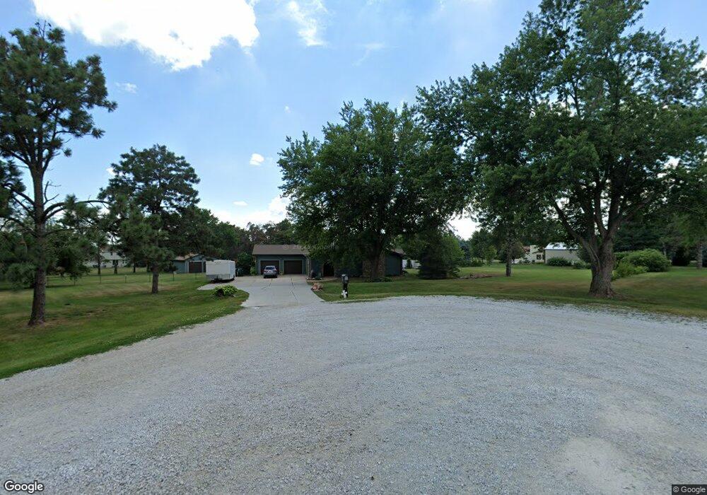
6711 Helen Cir Papillion, NE 68133
Estimated Value: $450,000 - $590,000
3
Beds
5
Baths
2,680
Sq Ft
$198/Sq Ft
Est. Value
About This Home
This home is located at 6711 Helen Cir, Papillion, NE 68133 and is currently estimated at $531,360, approximately $198 per square foot. 6711 Helen Cir is a home located in Sarpy County with nearby schools including Platteview Central Junior High School, Platteview Senior High School, and St. Matthew School.
Ownership History
Date
Name
Owned For
Owner Type
Purchase Details
Closed on
Apr 19, 2007
Sold by
Durbin Harold E and Durbin Linda A
Bought by
Mueller Eddie D and Mueller Mary Kay
Current Estimated Value
Home Financials for this Owner
Home Financials are based on the most recent Mortgage that was taken out on this home.
Original Mortgage
$213,750
Interest Rate
6.13%
Create a Home Valuation Report for This Property
The Home Valuation Report is an in-depth analysis detailing your home's value as well as a comparison with similar homes in the area
Home Values in the Area
Average Home Value in this Area
Purchase History
| Date | Buyer | Sale Price | Title Company |
|---|---|---|---|
| Mueller Eddie D | $225,000 | Midwest Title |
Source: Public Records
Mortgage History
| Date | Status | Borrower | Loan Amount |
|---|---|---|---|
| Closed | Mueller Eddie D | $213,750 |
Source: Public Records
Tax History Compared to Growth
Tax History
| Year | Tax Paid | Tax Assessment Tax Assessment Total Assessment is a certain percentage of the fair market value that is determined by local assessors to be the total taxable value of land and additions on the property. | Land | Improvement |
|---|---|---|---|---|
| 2025 | $4,072 | $638,898 | $151,704 | $487,194 |
| 2024 | $5,023 | $488,500 | $122,892 | $365,608 |
| 2023 | $5,023 | $434,846 | $119,616 | $315,230 |
| 2022 | $5,016 | $396,742 | $114,800 | $281,942 |
| 2021 | $4,899 | $348,507 | $111,197 | $237,310 |
| 2020 | $5,059 | $335,825 | $93,277 | $242,548 |
| 2019 | $5,120 | $340,421 | $76,869 | $263,552 |
| 2018 | $4,401 | $285,997 | $72,006 | $213,991 |
| 2017 | $4,322 | $277,024 | $71,961 | $205,063 |
| 2016 | $4,218 | $265,756 | $71,961 | $193,795 |
| 2015 | $4,302 | $270,103 | $81,238 | $188,865 |
| 2014 | $4,238 | $264,522 | $81,238 | $183,284 |
| 2012 | -- | $258,050 | $81,238 | $176,812 |
Source: Public Records
Map
Nearby Homes
- HAMILTON Plan at Oak Leaf
- NEUVILLE Plan at Oak Leaf
- BELLHAVEN Plan at Oak Leaf
- ABBOTT Plan at Oak Leaf
- 6615 Bluebell St
- 12918 S 66th Ave
- 12922 S 66th Ave
- 12921 S 66th Ave
- 12917 S 66th Ave
- 12913 S 66th Ave
- 12914 S 66th Ave
- 12926 S 66th Ave
- 12930 S 66th Ave
- 12929 S 66th Ave
- 12925 S 66th Ave
- 7610 S 66th St
- 12703 S 73rd St
- 7320 Leawood Cir
- 12375 S 74th St
- 6851 Stony Point Dr
- 12710 S 67th St
- 12711 S 68th Ave
- 6710 Capehart Rd
- 6710 Helen Cir
- 6700 Helen Cir
- 12705 S 68th Ave
- 6704 Capehart Rd
- 6802 Capehart Rd
- 12711 S 67th St
- 6612 Capehart Rd
- 12705 S 67th St
- 12710 S 68th Ave
- 6852 Capehart Rd
- 12704 S 68th Ave
- 12606 S 68th Ave
- 12711 S 70th St
- 6904 Capehart Rd
- 12705 S 70th St
- 12602 S 68th Ave
- 12607 S 70th St