6711 Rockhouse Rd Linden, TN 37096
Estimated Value: $595,000 - $853,000
2
Beds
2
Baths
1,200
Sq Ft
$627/Sq Ft
Est. Value
About This Home
This home is located at 6711 Rockhouse Rd, Linden, TN 37096 and is currently estimated at $752,224, approximately $626 per square foot. 6711 Rockhouse Rd is a home located in Perry County.
Ownership History
Date
Name
Owned For
Owner Type
Purchase Details
Closed on
May 15, 2025
Sold by
Buckley Dean and Ogrady Brian
Bought by
Mcdonald Walter
Current Estimated Value
Home Financials for this Owner
Home Financials are based on the most recent Mortgage that was taken out on this home.
Original Mortgage
$740,050
Interest Rate
6.25%
Mortgage Type
New Conventional
Purchase Details
Closed on
Jul 28, 2004
Purchase Details
Closed on
Aug 29, 2003
Bought by
Langer Karen Elizabeth
Create a Home Valuation Report for This Property
The Home Valuation Report is an in-depth analysis detailing your home's value as well as a comparison with similar homes in the area
Home Values in the Area
Average Home Value in this Area
Purchase History
| Date | Buyer | Sale Price | Title Company |
|---|---|---|---|
| Mcdonald Walter | $779,000 | Community Title & Escrow Pllc | |
| -- | -- | -- | |
| Langer Karen Elizabeth | $228,000 | -- | |
| Graham & Richardson Properties | $190,000 | -- |
Source: Public Records
Mortgage History
| Date | Status | Borrower | Loan Amount |
|---|---|---|---|
| Previous Owner | Mcdonald Walter | $740,050 |
Source: Public Records
Tax History Compared to Growth
Tax History
| Year | Tax Paid | Tax Assessment Tax Assessment Total Assessment is a certain percentage of the fair market value that is determined by local assessors to be the total taxable value of land and additions on the property. | Land | Improvement |
|---|---|---|---|---|
| 2025 | $1,787 | $77,825 | $0 | $0 |
| 2024 | $1,787 | $77,825 | $33,350 | $44,475 |
| 2023 | $1,787 | $77,825 | $33,350 | $44,475 |
| 2022 | $1,787 | $77,825 | $33,350 | $44,475 |
| 2021 | $1,787 | $77,825 | $33,350 | $44,475 |
| 2020 | $1,787 | $77,825 | $33,350 | $44,475 |
| 2019 | $1,668 | $67,250 | $27,225 | $40,025 |
| 2018 | $1,668 | $67,250 | $27,225 | $40,025 |
| 2017 | $1,648 | $67,250 | $27,225 | $40,025 |
| 2016 | $1,648 | $67,250 | $27,225 | $40,025 |
| 2015 | $1,615 | $67,250 | $27,225 | $40,025 |
| 2014 | $1,615 | $46,250 | $28,200 | $18,050 |
| 2013 | $847 | $35,249 | $0 | $0 |
Source: Public Records
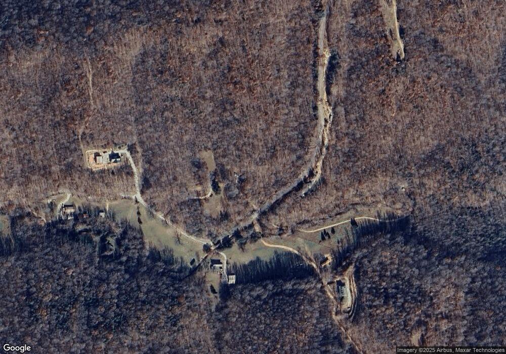
Map
Nearby Homes
- 5 Carter Hollow Rd
- 1661 Sassafras Stand Ridge Rd
- 0 Sassafras Stand Ridge Rd
- Paved Road Frontage
- 1 Remnant Way
- 190 Summerhill Rd
- 0 Hurricane Creek Rd Unit RTC2809380
- Hurricane Creek Rd
- 0 Rockhouse Rd Unit RTC3001092
- 320 Liberty Ridge Rd
- 278 Bear Brook Way
- 0 Liberty Ridge Rd
- 230 Fernwood Dr
- 0G Toll Hollow Rd
- 0F Toll Hollow Rd
- 0C Toll Hollow Rd
- 0D Toll Hollow Rd
- 0H Toll Hollow Rd
- 0B Toll Hollow Rd
- 0E Toll Hollow Rd
- 6636 Rockhouse Rd
- 6704 Rockhouse Rd
- 6692 Rockhouse Rd
- 6535 Rockhouse Rd
- 6450 Rockhouse Rd
- 7112 Rockhouse Rd
- 6282 Rockhouse Rd
- 0 Heavens Way Unit RTC2428705
- 0 Sassafras Ridge
- 392 Mercer Rd
- 0 Carter Hollow Rd Unit RTC2752850
- 0 Carter Hollow Rd Unit RTC2748717
- 0 Carter Hollow Rd Unit RTC2582017
- 0 Carter Hollow Rd Unit 2000039
- 0 Carter Hollow Rd Unit 2000047
- 0 Carter Hollow Rd Unit 2152685
- 0 Carter Hollow Rd Unit 2137061
- 0 Carter Hollow Rd Unit 1979940