Estimated Value: $637,000 - $830,000
--
Bed
1
Bath
2,297
Sq Ft
$306/Sq Ft
Est. Value
About This Home
This home is located at 6711 Tolleson Rd, Adams, TN 37010 and is currently estimated at $703,119, approximately $306 per square foot. 6711 Tolleson Rd is a home located in Robertson County with nearby schools including Jo Byrns Elementary School and Jo Byrns High School.
Ownership History
Date
Name
Owned For
Owner Type
Purchase Details
Closed on
May 14, 2019
Sold by
Davis Greg and Davis Michele
Bought by
Huff Brad and Huff Michelle
Current Estimated Value
Purchase Details
Closed on
Aug 17, 2007
Sold by
Fletcher John E
Bought by
Greg Davis
Purchase Details
Closed on
Apr 6, 1990
Bought by
Fletcher John E
Purchase Details
Closed on
Mar 25, 1988
Bought by
Fletcher Fletcher L and Fletcher Frankie R
Purchase Details
Closed on
Sep 15, 1982
Bought by
Fletcher Mack L
Create a Home Valuation Report for This Property
The Home Valuation Report is an in-depth analysis detailing your home's value as well as a comparison with similar homes in the area
Home Values in the Area
Average Home Value in this Area
Purchase History
| Date | Buyer | Sale Price | Title Company |
|---|---|---|---|
| Huff Brad | $29,840 | None Available | |
| Greg Davis | $361,250 | -- | |
| Fletcher John E | $86,000 | -- | |
| Fletcher Fletcher L | $79,000 | -- | |
| Fletcher Mack L | -- | -- |
Source: Public Records
Tax History Compared to Growth
Tax History
| Year | Tax Paid | Tax Assessment Tax Assessment Total Assessment is a certain percentage of the fair market value that is determined by local assessors to be the total taxable value of land and additions on the property. | Land | Improvement |
|---|---|---|---|---|
| 2024 | $1,818 | $101,000 | $18,125 | $82,875 |
| 2023 | $1,818 | $101,000 | $18,125 | $82,875 |
| 2022 | $1,465 | $56,875 | $10,475 | $46,400 |
| 2021 | $1,465 | $56,875 | $10,475 | $46,400 |
| 2020 | $1,465 | $56,875 | $10,475 | $46,400 |
| 2019 | $1,498 | $56,875 | $10,475 | $46,400 |
| 2018 | $1,435 | $58,150 | $11,750 | $46,400 |
| 2017 | $1,509 | $48,925 | $9,875 | $39,050 |
| 2016 | $1,509 | $48,925 | $9,875 | $39,050 |
| 2015 | $1,448 | $48,925 | $9,875 | $39,050 |
| 2014 | $1,251 | $42,275 | $9,875 | $32,400 |
Source: Public Records
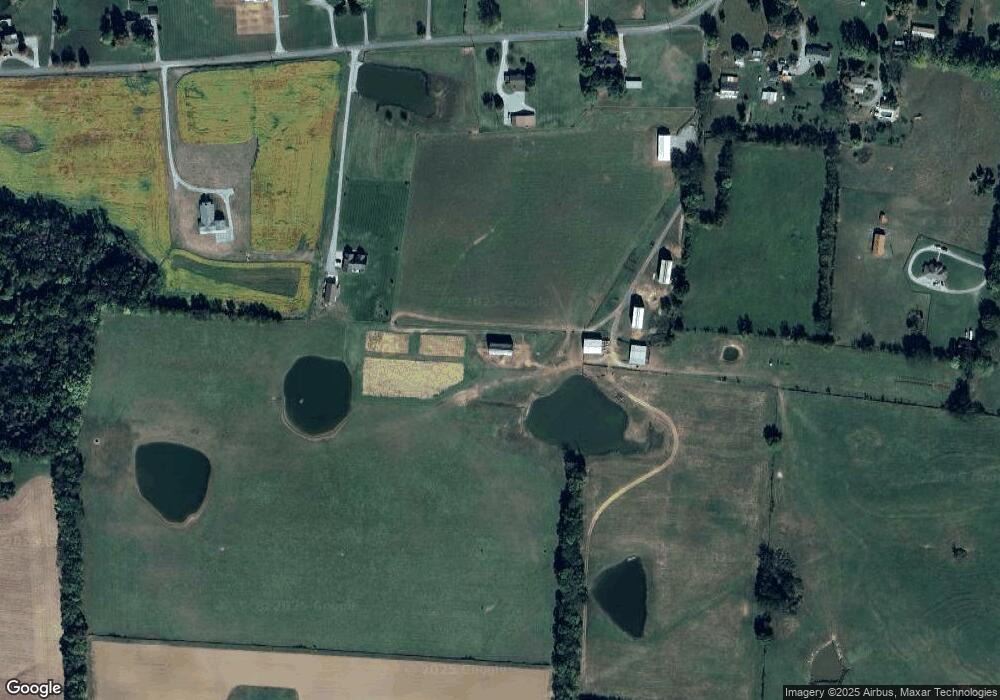
Map
Nearby Homes
- 0 Port Royal Unit RTC2976722
- 0 Port Royal Unit RTC2926688
- 3900 Sadlersville Rd
- 5016 Caney Sink Rd
- 0 W Bellar Rd
- 2160 Trieste Trail
- 2856 Highway 76 W
- 240 Hall Ct
- 230 Hall Ct
- 258 Woodruff Rd
- 7898 Highway 41 N
- 0 Old Clks Sprgfield Rd
- 1097 Landing Ln
- 1073 Landing Ln
- 1085 Landing Ln
- 1057 Landing Ln
- 1015 Landing Ln
- 1035 Landing Ln
- 1047 Landing Ln
- 2952 Old Clarksville Springfield Rd
- 5253 Tolleson Rd
- 6790 Tolleson Rd
- 6831 Tolleson Rd
- 5284 Tolleson Rd
- 6895 Tolleson Rd
- 6532 Tolleson Rd
- 6532 Tolleson Rd
- 6534 Tolleson Rd
- 6541 Tolleson Rd
- 5321 Tolleson Rd
- 6977 Tolleson Rd
- 6977 Tolleson Rd
- 6872 Tolleson Rd
- 1812 Highway 76 W
- 2211 Highway 76 W
- 5242 Tolleson Rd
- 6588 Tolleson Rd
- 6424 Tolleson Rd
- 6424 Tolleson Rd
- 6480 Tolleson Rd