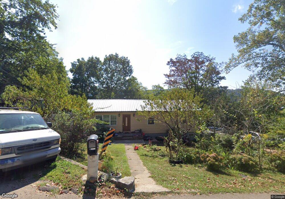
6712 Langston Dr Knoxville, TN 37918
Halls Crossroads NeighborhoodEstimated Value: $259,000 - $391,182
3
Beds
2
Baths
2,900
Sq Ft
$114/Sq Ft
Est. Value
About This Home
This home is located at 6712 Langston Dr, Knoxville, TN 37918 and is currently estimated at $329,546, approximately $113 per square foot. 6712 Langston Dr is a home located in Knox County with nearby schools including Adrian Burnett Elementary School, Halls High School, and Halls Middle School.
Ownership History
Date
Name
Owned For
Owner Type
Purchase Details
Closed on
Mar 2, 2023
Sold by
William Wade
Bought by
Racila Anatolie
Current Estimated Value
Purchase Details
Closed on
Sep 28, 2006
Sold by
Lonas Phillip V and Jacqueline C Lonas H
Bought by
Racila Nicolae and Racila Vera
Home Financials for this Owner
Home Financials are based on the most recent Mortgage that was taken out on this home.
Original Mortgage
$98,900
Interest Rate
6.46%
Mortgage Type
Purchase Money Mortgage
Create a Home Valuation Report for This Property
The Home Valuation Report is an in-depth analysis detailing your home's value as well as a comparison with similar homes in the area
Home Values in the Area
Average Home Value in this Area
Purchase History
| Date | Buyer | Sale Price | Title Company |
|---|---|---|---|
| Racila Anatolie | -- | None Listed On Document | |
| Racila Nicolae | $98,900 | None Available |
Source: Public Records
Mortgage History
| Date | Status | Borrower | Loan Amount |
|---|---|---|---|
| Previous Owner | Racila Nicolae | $98,900 |
Source: Public Records
Tax History Compared to Growth
Tax History
| Year | Tax Paid | Tax Assessment Tax Assessment Total Assessment is a certain percentage of the fair market value that is determined by local assessors to be the total taxable value of land and additions on the property. | Land | Improvement |
|---|---|---|---|---|
| 2024 | $1,674 | $107,720 | $0 | $0 |
| 2023 | $1,674 | $107,720 | $0 | $0 |
| 2022 | $1,674 | $107,720 | $0 | $0 |
| 2021 | $1,049 | $49,480 | $0 | $0 |
| 2020 | $1,049 | $49,480 | $0 | $0 |
| 2019 | $1,049 | $49,480 | $0 | $0 |
| 2018 | $1,049 | $49,480 | $0 | $0 |
| 2017 | $1,049 | $30,925 | $0 | $0 |
| 2016 | $1,044 | $0 | $0 | $0 |
| 2015 | $1,044 | $0 | $0 | $0 |
| 2014 | $1,044 | $0 | $0 | $0 |
Source: Public Records
Map
Nearby Homes
- 6613 Burbank Cir
- 4301 Foley Dr
- 4208 Spar Dr
- 3912 Valley Creek Way
- 4320 Lonor Dr
- 4316 Felty Dr
- 4416 Foley Dr
- 6408 Oleary Rd
- 4412 Brown Gap Rd
- 3521 Rothmoor Dr
- 4512 Everwood Oak Ln
- 6310 Crown Hill Dr
- 7007 Summer Oak Ln
- 7137 Winter Oaks Way Unit 18
- 4912 Laurelwood Rd
- 5722 Zurich Way
- 5718 Zurich Way
- 4635 Oak Meadow Way
- 5833 Briercliff Rd
- 4510 Mockingbird Dr NE
- 4205 Ohara Dr
- 4209 Ohara Dr
- 6709 Langston Dr
- 6713 Langston Dr
- 4201 Ohara Dr
- 4213 O'Hara Dr
- 6704 Langston Dr
- 4213 Ohara Dr
- 6705 Langston Dr
- 6620 Duke Rd
- 4204 Ohara Dr
- 6621 Duke Rd
- 6721 Langston Dr
- 4217 Ohara Dr
- 4208 Ohara Dr
- 6701 Langston Dr
- 6700 Langston Dr
- 4212 Ohara Dr
- 6616 Duke Rd
- 6725 Langston Dr