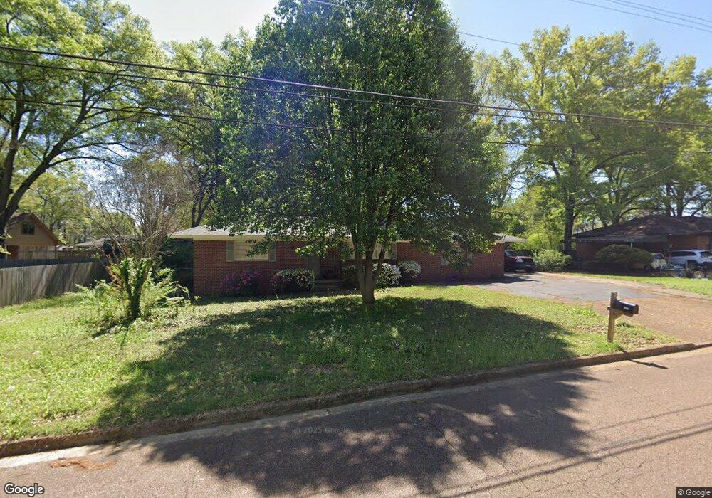
6718 Blocker St Olive Branch, MS 38654
Estimated Value: $198,000 - $256,000
3
Beds
2
Baths
1,698
Sq Ft
$134/Sq Ft
Est. Value
About This Home
This home is located at 6718 Blocker St, Olive Branch, MS 38654 and is currently estimated at $226,715, approximately $133 per square foot. 6718 Blocker St is a home located in DeSoto County with nearby schools including Olive Branch Elementary School, Chickasaw Elementary School, and Olive Branch Middle School.
Ownership History
Date
Name
Owned For
Owner Type
Purchase Details
Closed on
Jun 10, 2022
Sold by
Mcdonel Brenden Levi
Bought by
Mcdonel Sarah C
Current Estimated Value
Purchase Details
Closed on
Oct 26, 2021
Sold by
West Bankhead Properties Inc
Bought by
Rs Rental Ii Llc
Purchase Details
Closed on
Sep 10, 2021
Sold by
Patrick Mcclay
Bought by
West Bankhead Properties Inc
Purchase Details
Closed on
Jul 30, 2021
Sold by
John Elizabeth Anne St and Sills Jennifer Leigh
Bought by
Mcclay Patrick
Purchase Details
Closed on
Oct 17, 2011
Sold by
Joyner Elsie
Bought by
Carns Donna
Create a Home Valuation Report for This Property
The Home Valuation Report is an in-depth analysis detailing your home's value as well as a comparison with similar homes in the area
Home Values in the Area
Average Home Value in this Area
Purchase History
| Date | Buyer | Sale Price | Title Company |
|---|---|---|---|
| Mcdonel Sarah C | -- | -- | |
| Mcdonel Sarah C | -- | None Listed On Document | |
| Rs Rental Ii Llc | -- | Summit Title & Escrow | |
| West Bankhead Properties Inc | -- | Guardian Title | |
| Mcclay Patrick | -- | Guardian Title Llc | |
| Carns Donna | -- | None Available |
Source: Public Records
Tax History Compared to Growth
Tax History
| Year | Tax Paid | Tax Assessment Tax Assessment Total Assessment is a certain percentage of the fair market value that is determined by local assessors to be the total taxable value of land and additions on the property. | Land | Improvement |
|---|---|---|---|---|
| 2025 | $2,061 | $15,100 | $1,500 | $13,600 |
| 2024 | $1,489 | $10,910 | $1,500 | $9,410 |
| 2023 | $1,489 | $10,910 | $0 | $0 |
| 2022 | $1,490 | $10,919 | $1,500 | $9,419 |
| 2021 | $1,490 | $10,919 | $1,500 | $9,419 |
| 2020 | $1,387 | $10,166 | $1,500 | $8,666 |
| 2019 | $1,387 | $10,166 | $1,500 | $8,666 |
| 2017 | $1,354 | $18,238 | $9,869 | $8,369 |
| 2016 | $1,354 | $9,869 | $1,500 | $8,369 |
| 2015 | $1,354 | $18,238 | $9,869 | $8,369 |
| 2014 | $1,354 | $9,869 | $0 | $0 |
| 2013 | -- | $9,869 | $0 | $0 |
Source: Public Records
Map
Nearby Homes
- 9355 Pigeon Roost Rd
- 9270 College St
- 9678 Stuart Cove
- 9762 Riggan Dr
- 9811 Cherokee Dr
- 9893 Cherokee Dr
- 9919 Adina Cove
- 8834 Purple Martin Dr
- 5295 Blocker St
- 9113 Rue Orleans Ln
- 9930 Sequoia Ln
- 6748 Cockrum Rd
- 8911 Oak Branch Ln
- 7132 Village Ln
- 8897 Parkview Oaks Cir
- 8817 Parkview Oaks Cir
- 9821 Morgan Manor Dr
- 8799 Parkview Oaks Cir
- 0 Old Goodman Rd Unit 4081735
- 6180 Rd
- 6700 Blocker St
- 9465 Stuart St
- 6738 Blocker St
- 9473 Stuart St
- 6672 Shady Grove Cove
- 6663 Shady Grove Cove
- 6729 Blocker St
- 6676 Blocker St
- 6705 Blocker St
- 9491 Stuart St
- 6757 Blocker St
- 6745 Blocker St
- 6647 Shady Grove Cove
- 9480 Stuart St
- 9464 Stuart St
- 9492 Stuart St
- 6668 Shady Grove Cove
- 9370 Pigeon Roost Rd
- 6775 Blocker St
- 9436 Pigeon Roost Rd