Estimated Value: $252,000 - $584,000
6
Beds
4
Baths
484
Sq Ft
$740/Sq Ft
Est. Value
About This Home
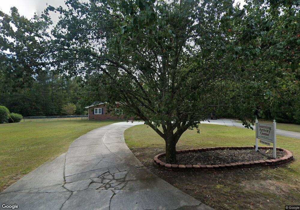
This home is located at 672 King Taylor Rd, Evans, GA 30809 and is currently estimated at $358,183, approximately $740 per square foot. 672 King Taylor Rd is a home located in Columbia County with nearby schools including Blue Ridge Elementary School, Lakeside Middle School, and Lakeside High School.
Ownership History
Date
Name
Owned For
Owner Type
Purchase Details
Closed on
Jul 14, 2004
Sold by
Gospel Water Branch Baptist Church Inc
Bought by
Gospel Water Branch Community Developmen
Current Estimated Value
Purchase Details
Closed on
Jan 23, 2004
Sold by
Jones Jonathan
Bought by
Gospel Water Branch Baptist Church Inc
Home Financials for this Owner
Home Financials are based on the most recent Mortgage that was taken out on this home.
Original Mortgage
$165,000
Interest Rate
5.77%
Mortgage Type
Unknown
Create a Home Valuation Report for This Property
The Home Valuation Report is an in-depth analysis detailing your home's value as well as a comparison with similar homes in the area
Home Values in the Area
Average Home Value in this Area
Purchase History
| Date | Buyer | Sale Price | Title Company |
|---|---|---|---|
| Gospel Water Branch Community Developmen | -- | -- | |
| Gospel Water Branch Baptist Church Inc | $165,000 | -- |
Source: Public Records
Mortgage History
| Date | Status | Borrower | Loan Amount |
|---|---|---|---|
| Previous Owner | Gospel Water Branch Baptist Church Inc | $165,000 |
Source: Public Records
Tax History
| Year | Tax Paid | Tax Assessment Tax Assessment Total Assessment is a certain percentage of the fair market value that is determined by local assessors to be the total taxable value of land and additions on the property. | Land | Improvement |
|---|---|---|---|---|
| 2025 | -- | $84,442 | $26,413 | $58,029 |
| 2024 | -- | $84,807 | $26,413 | $58,394 |
| 2023 | $0 | $88,553 | $26,413 | $62,140 |
| 2022 | $0 | $78,279 | $23,681 | $54,598 |
| 2021 | $37 | $79,243 | $23,681 | $55,562 |
| 2020 | $37 | $83,081 | $23,681 | $59,400 |
| 2019 | $0 | $83,158 | $23,681 | $59,477 |
| 2018 | $0 | $83,661 | $20,989 | $62,672 |
| 2017 | $0 | $83,232 | $20,989 | $62,243 |
| 2016 | -- | $79,739 | $19,950 | $59,789 |
| 2015 | -- | $81,834 | $19,950 | $61,884 |
| 2014 | -- | $84,166 | $19,950 | $64,216 |
Source: Public Records
Map
Nearby Homes
- 310 Ash Ct
- 507 Meldon Rd
- 652 King Taylor Rd
- 7304 Malton Ct
- 541 Meldon Rd
- 7311 Malton Ct
- 2025 Grace Ave
- 4126 Dunes Dr
- 615 Jones Landing Ct
- 709 Whittingtons Ridge
- 516 McKinnes Park
- 0 Commons Dr
- 1956 Avenel Ln
- 1951 Avenel Ln
- 499 Oak Chase Dr
- 3991 High Chaparral Dr
- 305 Cimarron Place
- 735 Michaels Creek
- 4209 Fairfield Cir
- 511 Seminole Place
- 4018 Evans To Locks Rd
- 673 King Taylor Rd
- 4028 Evans To Locks Rd
- 601 Mims Rd
- 603 Mims Rd
- 668 King Taylor Rd
- 666 King Taylor Rd
- 665 King Taylor Rd
- 4023 Evans To Locks Rd
- 662 King Taylor Rd
- 308 Ash Ct
- 306 Ash Ct
- 661 King Taylor Rd
- 304 Ash Ct
- 611 Mims Rd
- 511 Meldon Rd
- 513 Meldon Rd
- 600 Mims Rd
- 302 Ash Ct
- 312 Ash Ct
Your Personal Tour Guide
Ask me questions while you tour the home.