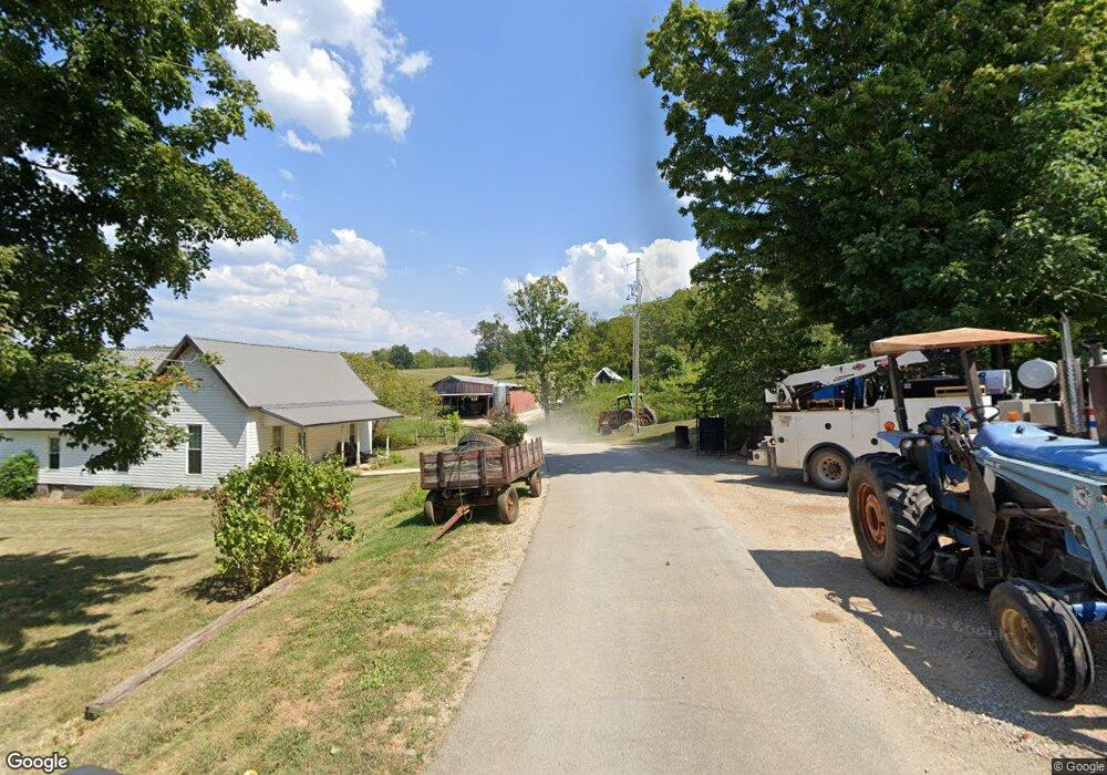
672 Rock Cut Rd Sparta, TN 38583
Estimated Value: $194,000 - $833,693
--
Bed
1
Bath
1,426
Sq Ft
$360/Sq Ft
Est. Value
About This Home
This home is located at 672 Rock Cut Rd, Sparta, TN 38583 and is currently estimated at $513,847, approximately $360 per square foot. 672 Rock Cut Rd is a home located in White County with nearby schools including Cassville Elementary School, White County Middle School, and White County High School.
Ownership History
Date
Name
Owned For
Owner Type
Purchase Details
Closed on
Jan 18, 2021
Sold by
Richard Green John
Bought by
Garvin Catherine Green Bumalo
Current Estimated Value
Purchase Details
Closed on
Dec 28, 1990
Bought by
Green John Richard
Create a Home Valuation Report for This Property
The Home Valuation Report is an in-depth analysis detailing your home's value as well as a comparison with similar homes in the area
Home Values in the Area
Average Home Value in this Area
Purchase History
| Date | Buyer | Sale Price | Title Company |
|---|---|---|---|
| Garvin Catherine Green Bumalo | -- | Bockman Hutson 2Oo W | |
| Green John Richard | $45,000 | -- |
Source: Public Records
Tax History Compared to Growth
Tax History
| Year | Tax Paid | Tax Assessment Tax Assessment Total Assessment is a certain percentage of the fair market value that is determined by local assessors to be the total taxable value of land and additions on the property. | Land | Improvement |
|---|---|---|---|---|
| 2025 | $3,273 | $270,900 | $0 | $0 |
| 2024 | $3,273 | $159,650 | $19,525 | $140,125 |
| 2023 | $3,273 | $159,650 | $19,525 | $140,125 |
| 2022 | $3,273 | $159,650 | $19,525 | $140,125 |
| 2021 | $3,287 | $159,650 | $19,525 | $140,125 |
| 2020 | $3,287 | $160,325 | $19,525 | $140,800 |
| 2019 | $2,602 | $126,950 | $15,375 | $111,575 |
| 2018 | $2,602 | $126,950 | $15,375 | $111,575 |
| 2017 | $2,602 | $126,950 | $15,375 | $111,575 |
| 2016 | $2,602 | $126,950 | $15,375 | $111,575 |
| 2015 | $2,349 | $126,950 | $15,375 | $111,575 |
| 2014 | -- | $126,950 | $15,375 | $111,575 |
| 2013 | -- | $121,150 | $15,650 | $105,500 |
Source: Public Records
Map
Nearby Homes
- 180 Frank Anderson Rd
- 8.5 Acres Frank Anderson Rd
- 536 Frank Anderson Rd
- 8.5 Acre Frank Anderson Rd
- 0 Frank Anderson Rd
- 912 Frank Anderson Rd
- 1054 Frank Anderson Rd
- 217 Oaklawn Cemetery Rd
- 268 Fairview Cir
- lot 16 Old Kentucky Rd
- Lot 17 Old Kentucky Rd
- 154 Jersey Pike
- 8565 Old Kentucky Rd
- 8444 Old Kentucky Rd
- 0 Old Kentucky Rd
- LOT 3 Old Kentucky Rd
- 121 Hutchings College Rd
- 288 Westwood Dr
- 419 Adams St
- 436 Westwood Dr
- 3480 Smithville Hwy
- 786 Lonnie Carr Rd
- 286 Rock Cut Rd
- 3675 Old Smithville Hwy N
- 98 AC Lonnie Carr Rd
- 0 Lonnie Carr Rd
- 211 Lonnie Carr Rd
- 9.74 Lonnie Carr Rd
- 000 Lonnie Carr Rd
- 3521 Old Smithville Hwy N
- 3365 Old Smithville Hwy N
- 3709 Old Smithville Hwy N
- 3467 Old Smithville Hwy N
- 480 Lizard Ln
- 3271 Old Smithville Hwy N
- 3391 Old Smithville Hwy N
- 3447 Old Smithville Hwy N
- 3951 Old Smithville Hwy N
- 80AC Darlene Dr