6720 Tolchester Rd Rock Hall, MD 21661
Estimated Value: $1,235,000 - $3,734,000
--
Bed
4
Baths
3,600
Sq Ft
$614/Sq Ft
Est. Value
About This Home
This home is located at 6720 Tolchester Rd, Rock Hall, MD 21661 and is currently estimated at $2,209,713, approximately $613 per square foot. 6720 Tolchester Rd is a home located in Kent County with nearby schools including Center for Innovation, Kent County Middle School, and Kent County High School.
Ownership History
Date
Name
Owned For
Owner Type
Purchase Details
Closed on
May 19, 2006
Sold by
Fretz Farm Llc
Bought by
Swan Hall Llc
Current Estimated Value
Home Financials for this Owner
Home Financials are based on the most recent Mortgage that was taken out on this home.
Original Mortgage
$2,000,000
Outstanding Balance
$1,166,906
Interest Rate
6.53%
Mortgage Type
Purchase Money Mortgage
Estimated Equity
$1,042,807
Purchase Details
Closed on
May 10, 2006
Sold by
Fretz Farm Llc
Bought by
Swan Hall Llc
Home Financials for this Owner
Home Financials are based on the most recent Mortgage that was taken out on this home.
Original Mortgage
$2,000,000
Outstanding Balance
$1,166,906
Interest Rate
6.53%
Mortgage Type
Purchase Money Mortgage
Estimated Equity
$1,042,807
Purchase Details
Closed on
Apr 17, 2002
Sold by
Fretz Adele S Trust
Bought by
Augustus Henry Fretz Test Tr
Create a Home Valuation Report for This Property
The Home Valuation Report is an in-depth analysis detailing your home's value as well as a comparison with similar homes in the area
Home Values in the Area
Average Home Value in this Area
Purchase History
| Date | Buyer | Sale Price | Title Company |
|---|---|---|---|
| Swan Hall Llc | $2,800,000 | -- | |
| Swan Hall Llc | $2,800,000 | -- | |
| Augustus Henry Fretz Test Tr | -- | -- |
Source: Public Records
Mortgage History
| Date | Status | Borrower | Loan Amount |
|---|---|---|---|
| Open | Swan Hall Llc | $2,000,000 | |
| Closed | Swan Hall Llc | $2,000,000 |
Source: Public Records
Tax History Compared to Growth
Tax History
| Year | Tax Paid | Tax Assessment Tax Assessment Total Assessment is a certain percentage of the fair market value that is determined by local assessors to be the total taxable value of land and additions on the property. | Land | Improvement |
|---|---|---|---|---|
| 2025 | $11,497 | $1,003,300 | $0 | $0 |
| 2024 | $10,885 | $949,300 | $603,400 | $345,900 |
| 2023 | $10,689 | $944,800 | $0 | $0 |
| 2022 | $10,689 | $940,300 | $0 | $0 |
| 2021 | $10,687 | $935,800 | $603,400 | $332,400 |
| 2020 | $10,687 | $931,800 | $0 | $0 |
| 2019 | $10,596 | $927,800 | $0 | $0 |
| 2018 | $10,596 | $923,800 | $603,400 | $320,400 |
| 2017 | $10,596 | $923,800 | $0 | $0 |
| 2016 | -- | $923,800 | $0 | $0 |
| 2015 | -- | $984,600 | $0 | $0 |
| 2014 | $11,627 | $984,600 | $0 | $0 |
Source: Public Records
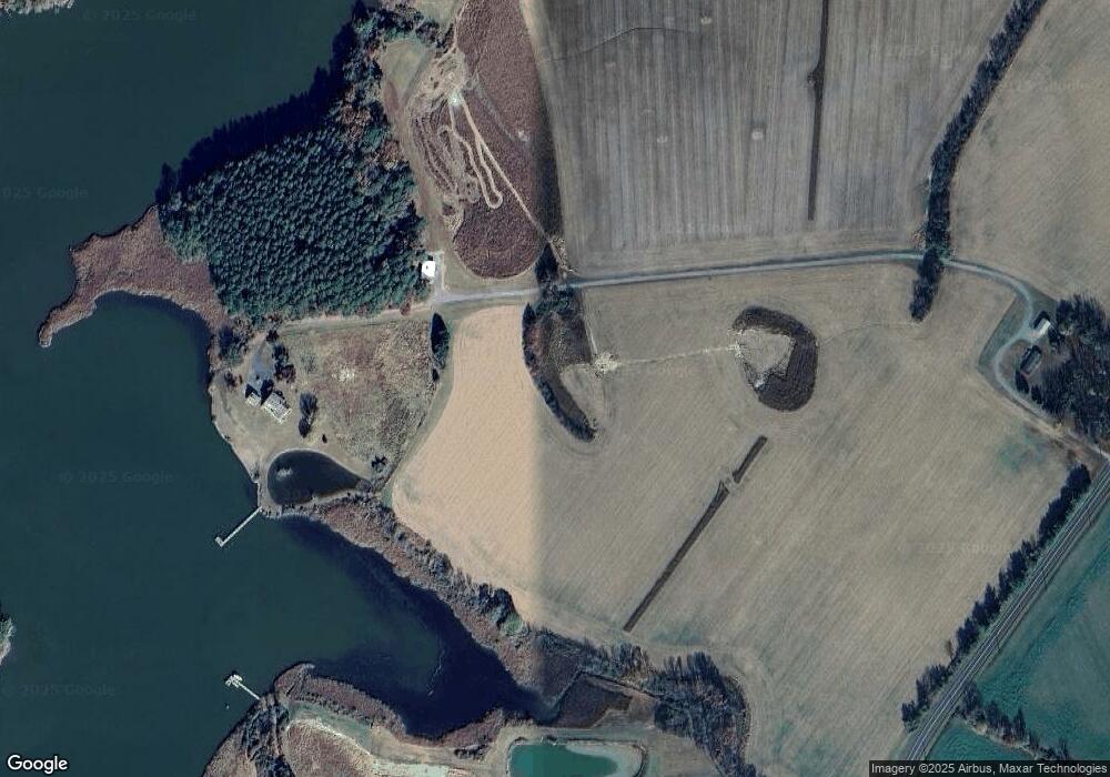
Map
Nearby Homes
- 0 Lot 30 Hagy Rd
- 0 Swan Creek Rd Unit MDKE2005910
- 6119 New St Unit 2
- #2 Lawton Ave
- 5980 Lawton Ave
- 20725 Wilkins Ave
- 21336 Haven Rd
- 21305 Haven Rd
- 5750 Walnut St
- 5791 S Hawthorne Ave
- 5898 Williams St
- 5829 N Main St
- 5697 Walnut St
- 21119 Striper Run
- 21133 Striper Run
- 21131 Striper Run
- 21139 Striper Run
- 21141 Striper Run
- 21090 W Sharp St Unit 133
- 21090 W Sharp St Unit 112
- 20846 Humphreys Point Rd
- 0 Jamieson Rd Unit KE8524327
- 20685 Andrew Rd
- 20691 Jamieson Rd
- 20697 Andrew Rd
- 20731 Jamieson Rd
- 20839 Humphreys Point Rd
- 20816 Humphreys Point Rd
- 20679 Jamieson Rd
- 20639 Andrew Rd
- 20661 Andrew Rd
- 0 Jamieson Rd Unit 1003269291
- 0 Jamieson Rd Unit 1003269275
- 0 Jamieson Rd Unit 1007013080
- 0 Jamieson Rd Unit 1006904672
- 0 Jamieson Rd Unit KE8438969
- 0 Jamieson Rd Unit KE8524763
- 0 Jamieson Rd Unit MDKE2000057
- 0 Jamieson Rd Unit MDKE2000053
- 0 Jamieson Rd Unit MDKE117278