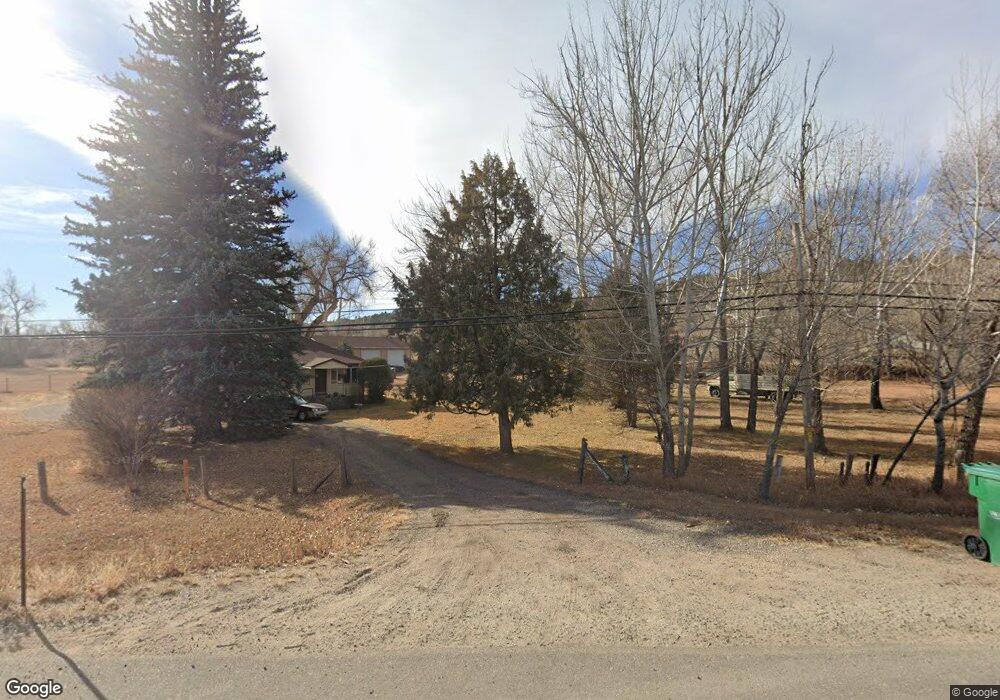
6720 W Highway 34 Loveland, CO 80537
Estimated Value: $1,155,747 - $1,511,000
4
Beds
2
Baths
2,303
Sq Ft
$563/Sq Ft
Est. Value
About This Home
This home is located at 6720 W Highway 34, Loveland, CO 80537 and is currently estimated at $1,297,582, approximately $563 per square foot. 6720 W Highway 34 is a home located in Larimer County with nearby schools including Big Thompson Elementary School, Walt Clark Middle School, and Thompson Valley High School.
Ownership History
Date
Name
Owned For
Owner Type
Purchase Details
Closed on
Jan 14, 2020
Sold by
J B Investments Inc
Bought by
Berquist John and Berquist April
Current Estimated Value
Purchase Details
Closed on
Feb 15, 2010
Sold by
Federal Home Loan Mortgage Corporation
Bought by
J B Investments Inc
Purchase Details
Closed on
Oct 5, 2009
Sold by
Miller Richard W and Miller Laura J
Bought by
Federal Home Loan Mortgage Corporation
Purchase Details
Closed on
Feb 6, 1997
Sold by
Miller Richard W
Bought by
Miller Richard W and Miller Laura J
Create a Home Valuation Report for This Property
The Home Valuation Report is an in-depth analysis detailing your home's value as well as a comparison with similar homes in the area
Home Values in the Area
Average Home Value in this Area
Purchase History
| Date | Buyer | Sale Price | Title Company |
|---|---|---|---|
| Berquist John | $204,000 | Fidelity National Title | |
| J B Investments Inc | $230,000 | First American | |
| Federal Home Loan Mortgage Corporation | -- | None Available | |
| Miller Richard W | -- | -- |
Source: Public Records
Tax History Compared to Growth
Tax History
| Year | Tax Paid | Tax Assessment Tax Assessment Total Assessment is a certain percentage of the fair market value that is determined by local assessors to be the total taxable value of land and additions on the property. | Land | Improvement |
|---|---|---|---|---|
| 2025 | $5,624 | $72,755 | $2,010 | $70,745 |
| 2024 | $5,428 | $72,755 | $2,010 | $70,745 |
| 2022 | $4,321 | $54,808 | $2,085 | $52,723 |
| 2021 | $3,119 | $39,661 | $2,145 | $37,516 |
| 2020 | $1,555 | $19,770 | $2,145 | $17,625 |
| 2019 | $2,197 | $28,414 | $2,145 | $26,269 |
| 2018 | $2,021 | $24,797 | $2,160 | $22,637 |
| 2017 | $1,739 | $24,797 | $2,160 | $22,637 |
| 2016 | $1,533 | $21,134 | $2,388 | $18,746 |
| 2015 | $1,539 | $21,410 | $2,390 | $19,020 |
| 2014 | $1,276 | $17,160 | $2,390 | $14,770 |
Source: Public Records
Map
Nearby Homes
- 1703 N County Road 23h
- 7467 W Us Highway 34
- 3064 Wildes Rd
- 7831 W Us Highway 34
- 3604 Glade Rd
- 712 Colt Dr
- 5417 W US Highway 34
- 1828 N County Road 29
- 512 Mustang Dr
- 5925 Sacajawea Way
- 7864 Heart J Trail
- 240 Garnet Valley Ct
- 6811 W County Road 20
- 684 Deer Meadow Dr
- 5272 Fox Hollow Ct
- 629 Deer Meadow Dr
- 8150 Open View Place
- 404 Black Elk Ct
- 5137 Stoneridge Dr
- 270 N Cove Dr
- 6709 U S 34
- 6757 W Us Highway 34
- 6709 W Us Highway 34
- 2312 Goodwine Ln
- 6754 W Us Highway 34
- 6663 W U S 34
- 6708 W Us Highway 34
- 2208 Goodwine Ln
- 6803 U S 34
- 6803 W Us Highway 34
- 6631 W Us Highway 34
- 6715 W Us Highway 34
- 6827 W Us Highway 34
- 6850 W Us Highway 34
- 6564 W Us Highway 34
- 2120 Goodwine Ln
- 2601 Riverfront Dr
- 6952 W Us Highway 34
- 2325 Glade Rd
- 2517 Riverfront Dr